Brechtje and Koen are bachelor graduates in Earth Sciences at Utrecht University. They will continue their studies in Utrecht and start in september with the Masters program Earth Structure and Dynamics.
The islands of Saint Martin, St. Barthelemy, and Antigua form an Eocene to late Oligocene paleo arc. This inactive remnant arc is the product of the cessation of magmatic activity along and the eastward migration of the forearc region of the lesser Antilles subduction zone, triggered by the entrance of the more buoyant Bahamas bank. Previous fieldwork on St. Barthelemy (Legendre et al. 2018) shows that these islands contain crucial information on tectonics, deformation history, and evolution of the Lesser Antilles. This importance is only amplified by newly discovered indications on st. Barthelemy for a paleo land bridge, enabling migration from South to North America via the Caribbean arcs. The next island where to search for new insights into the deformation and deposition history of the Lesser Antilles is Antigua. However, a detailed and recent geological map of Antigua, necessary for paleomagnetic, paleobiological, and structural research, did not exist yet.
We, Koen van der Looij and Brechtje Brons, bachelor graduates of Utrecht University, were the lucky students to perform the fieldwork and to create a geological map of this island under the supervision of Dr. Douwe van Hinsbergen. The first days on Antigua we were accompanied by structural geologists Melody Phillipon and Franck Audemard. Franck also showed great interest in Quarternary tsunami deposits, which to his regret did not fall within our research project (sorry Franck). Together we made a start with identifying structures and lithologies on the island, like positive flower structures and fracture sets, volcanic and volcaniclastic rocks, and carbonate platforms with stylolites. After a fun and productive week, the two structural geologists went home and it was up to us to continue the good work.
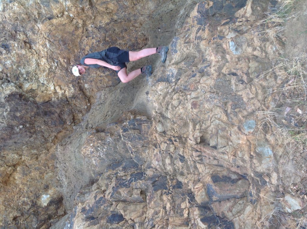
Brechtje standing on one of the dikes crossing through the stratigraphy. 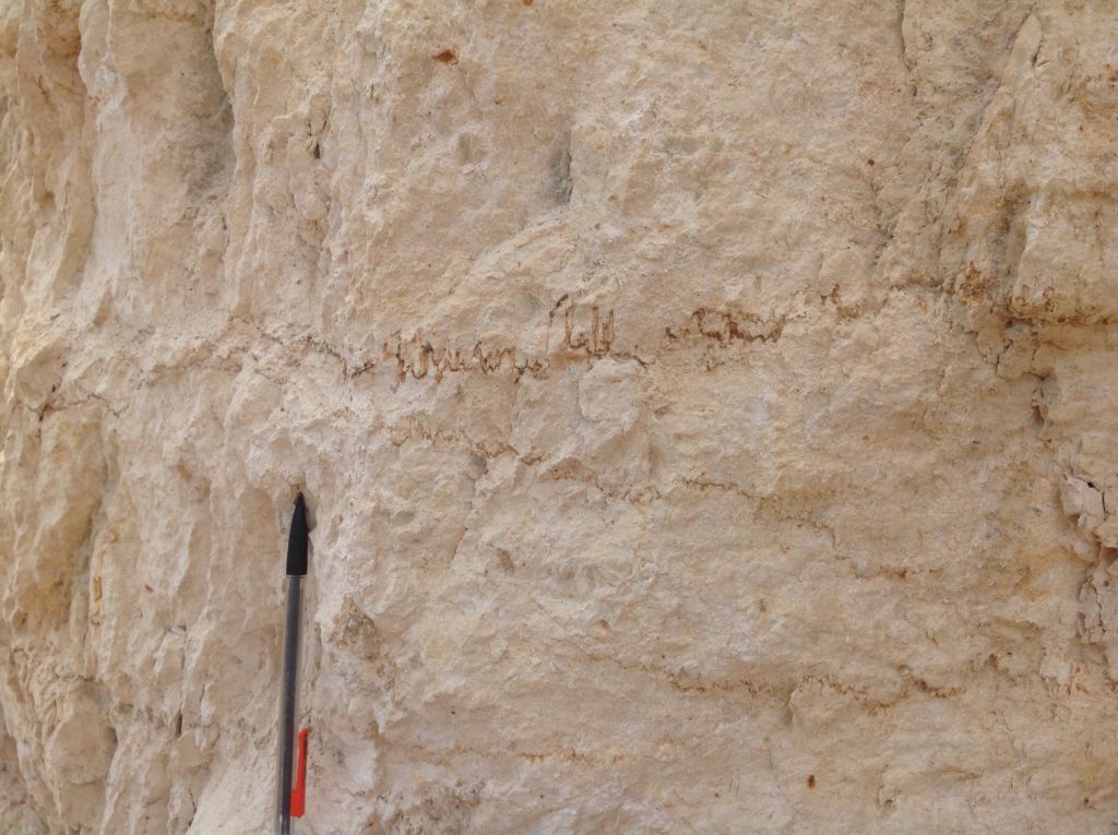
Stylolites found in the upper part of the stratigraphy. 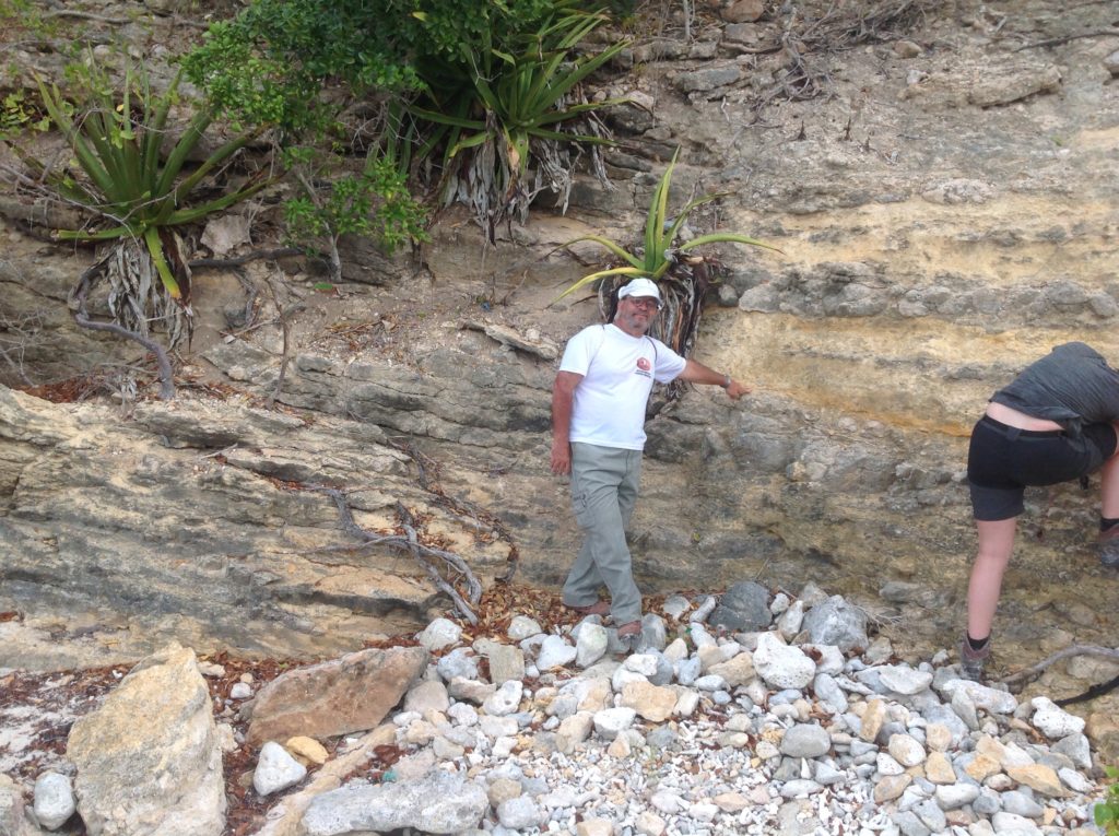
Franck showing the exact location of an angular unconformity within the carbonate stratigraphy.
During our three weeks of fieldwork, we encountered quite some interesting structures and lithologies. Folds and microfaults supported the ideas from St. Bartholomy about deformation phases on the island, both compressive and extensional. Apart from structural mapping, the other aim for this fieldwork was to sample carbonate and volcanic rocks to use for age dating. This sampling turned out to be quite difficult since fieldwork in the tropics means a lot of weathered and eroded rocks. To find some fresh rocks, we had to depend mainly on roadcuts and quarries.
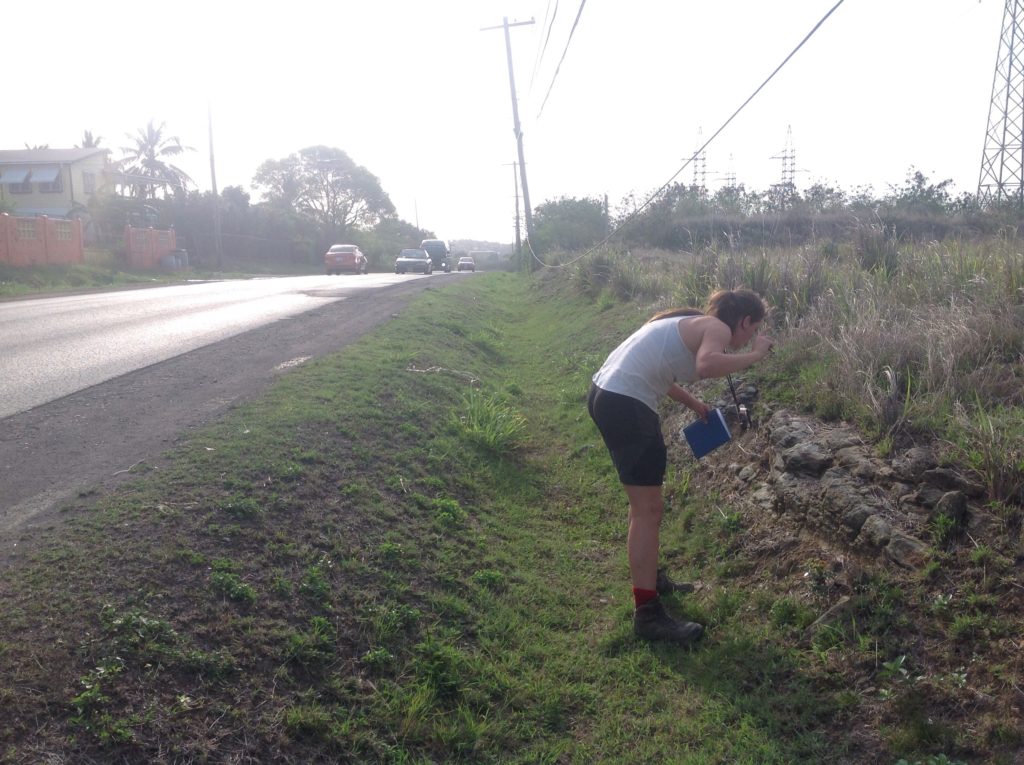
Doing fieldwork along the road can be a bit uncomfortable, as people on Antigua are not used to students hammering at rocks. This resulted, on the one hand, in a lot of honking and people staring at us while doing fieldwork. On the other hand, some people showed a real interest in what we were doing and even gave useful tips on where to find good outcrops. This had proved to be rather difficult, resulting in just driving around for hours in search of some useful locations. Any help was thus very welcome.
The quarries that were open to visitors were mainly located in the carbonate and marine sediments in the north of the island. Since there were quite a lot of them, some even very large (like the Burma quarry just south of the Airport), these spots proved to be very useful in reconstructing the carbonate lithological sequence.
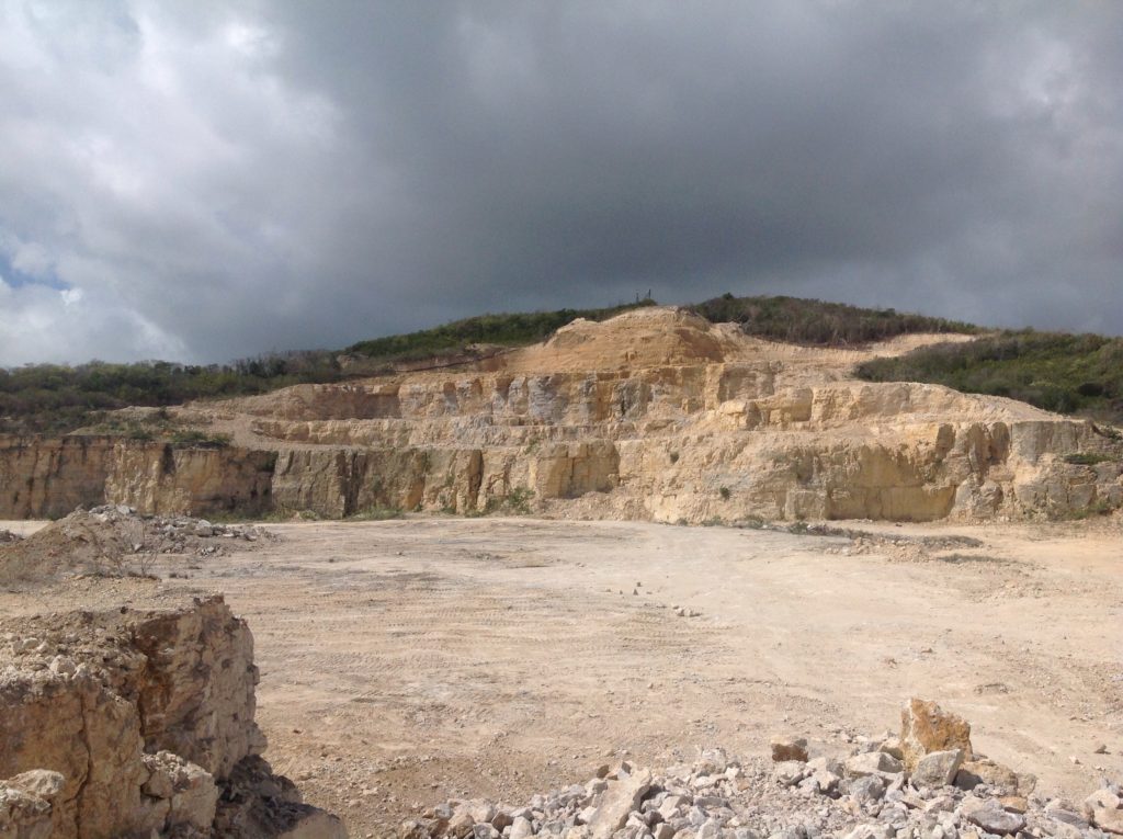
The second largest quarry on the island, the Burma quarry. 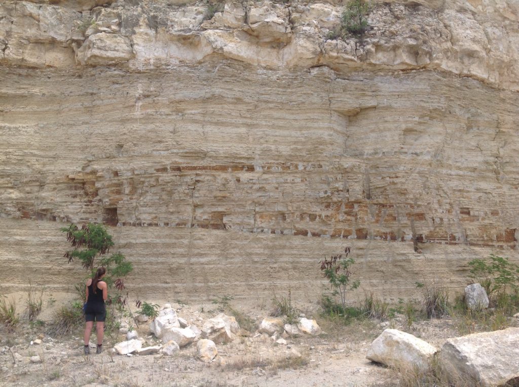
Beautiful structures in a quarry in the northeast of the Island.
The volcanic part of the island, with its high mountains and deep valleys, was very difficult to reach due to few or too steep roads, and impenetrable forests. One day we managed to drive halfway to the top of mount Obama with our hired old grey Nissan. If you are not looking for a very thrilling experience but you do want to drive up to mount Obama, we would strongly recommend the most powerful 4-wheel drive car that you can find. Good sampling of the volcanic rocks turned out to be quite difficult, largely due to the lack of fresh rocks, and partly due to the size of our hammers. Sledgehammers probably would have prevented or at least minimized the number of blisters on our hands.

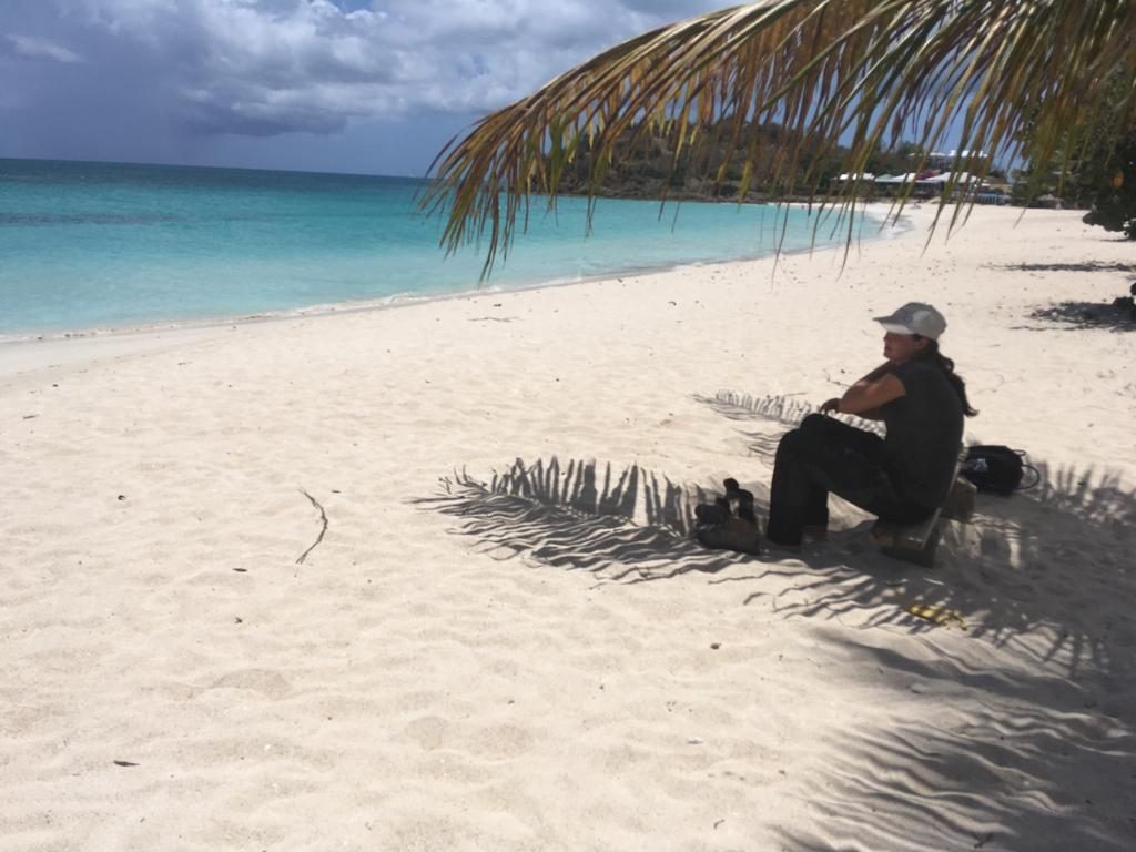
Fieldwork on a tropical island has one great advantage: lunch breaks on a white beach within the shade of palm trees. Because of the heat midday, we decided to start earlier in the mornings, and have a slightly longer lunch break, with sometimes even a swim. One tip for any visitor or fieldwork participant on Antigua, if you are hungry and you want to taste the best chicken on the island, you should order at Gloria’s, located on the road along Morris Bay Beach.
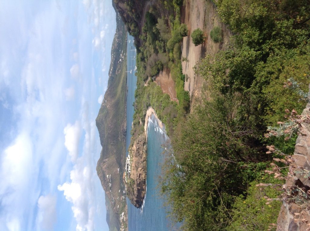
Beautiful views around the island. 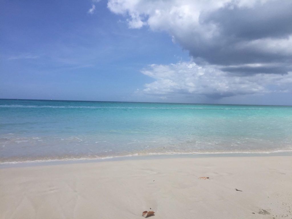
White beaches and a clear blue sea.
Despite some setbacks and necessary changes in our plans, we managed to finish our fieldwork and get back on a plane to Guadeloupe to make and analyze thin sections of our samples. We want to thank Melody and Franck for the company and help in the first week, and our supervisor Dr. Douwe van Hinsbergen for keeping us motivated. The fieldwork has been funded by the Molengraaff foundation funds.
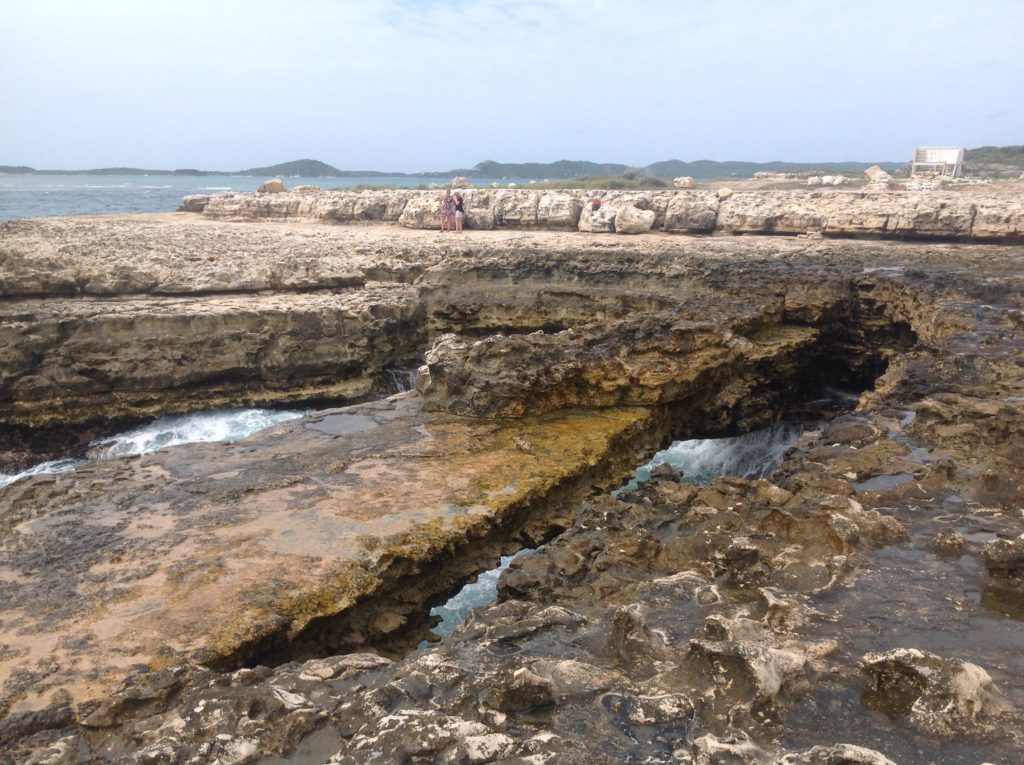
Local tourist hotspot: Devils Bridge. 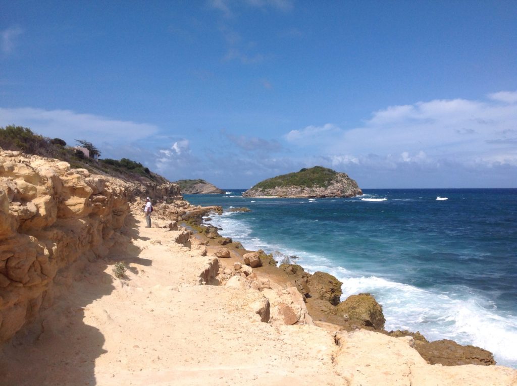
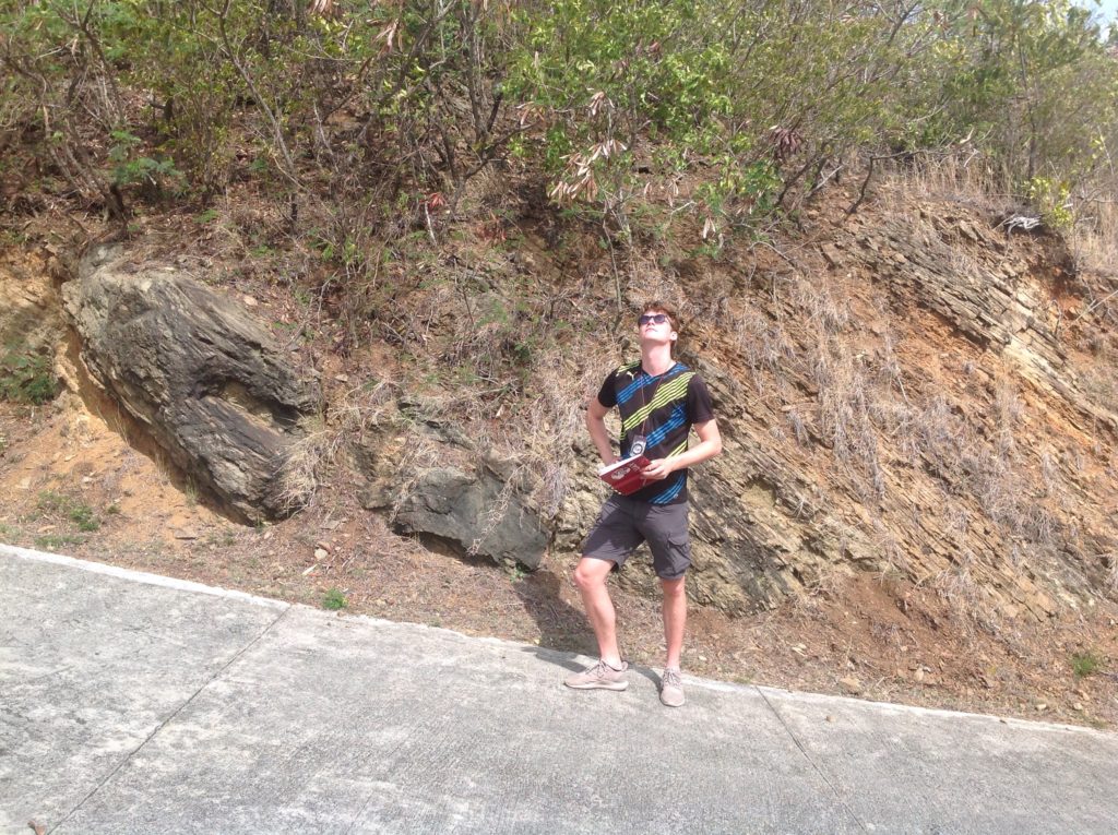
Another perfect location for fieldwork.
![]() This work is licensed under a Creative Commons Attribution-NonCommercial-ShareAlike 4.0 International License.
This work is licensed under a Creative Commons Attribution-NonCommercial-ShareAlike 4.0 International License.