Introduction
As I hiked up to the tallest point in my field area, I looked to the south in awe, observing thousands of feet of sedimentary rocks that make up the Swauk Formation. And as I turned to the north, I tilted my head up to see the very top of the even higher mountains, made of crystalline rock. Standing at 7036’, on the summit of Earl Peak, it amazed me that this mountain was once a low point collecting and transporting sediment that was being shed off these nearby crystalline mountains. I began to wonder how and why did these massive crystalline mountains form and how did the sedimentary rocks of the Swauk Formation fit into the tectonic story? What I didn’t realize at this moment, was that this was a much more complicated question than I could imagine. So when my graduate advisor asked me to figure this all out, it definitely felt like one of those “I bit off more than I can chew” situations. But I was excited to give it a go.
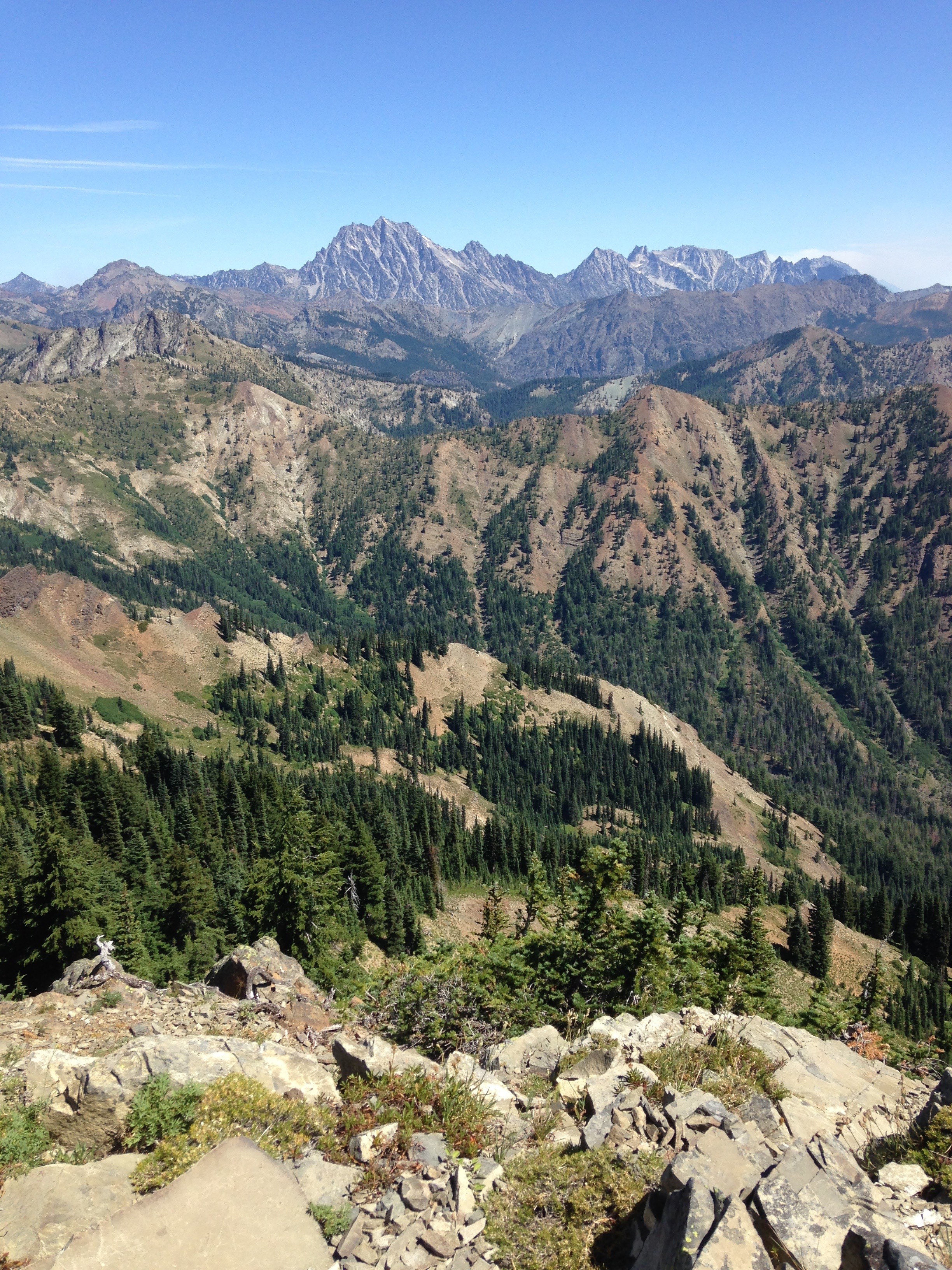
View of Swauk deposits and Mount Stuart batholith
Background
Mid-ocean ridges are generally well understood, but what happens when an active spreading ridge subducts beneath a continental margin? During the Paleocene to Eocene, the Farallon-Resurrection spreading ridge was subducting beneath the Pacific Northwest and many aspects of how this affected the middle and upper crust are poorly understood. Spreading ridge subduction can create slab gaps or windows due to plate divergence, which can produce anomalous magmatism of adakite and MORB-like rocks, as well as flat slab subduction, uplift, and strike slip faulting. During this spreading ridge subduction event, the Swauk Formation was being deposited in the forearc region.
Depositional basins, such as the Swauk basin, are often accompanied by uplift of mountains, which provides an ideal opportunity to study the temporal and spatial relationship between uplift, erosion, and sedimentary deposition. The sedimentary rocks provide clues about each of these processes, including details about paleopathways from source mountains to the basin. For my study of the Swauk Formation, I utilized lithofacies mapping, sandstone petrography, detrital zircon geochronology and post-depositional structural analysis to understand how the Swauk Formation recorded the tectonic regime of the Early Eocene of the Pacific Northwest.
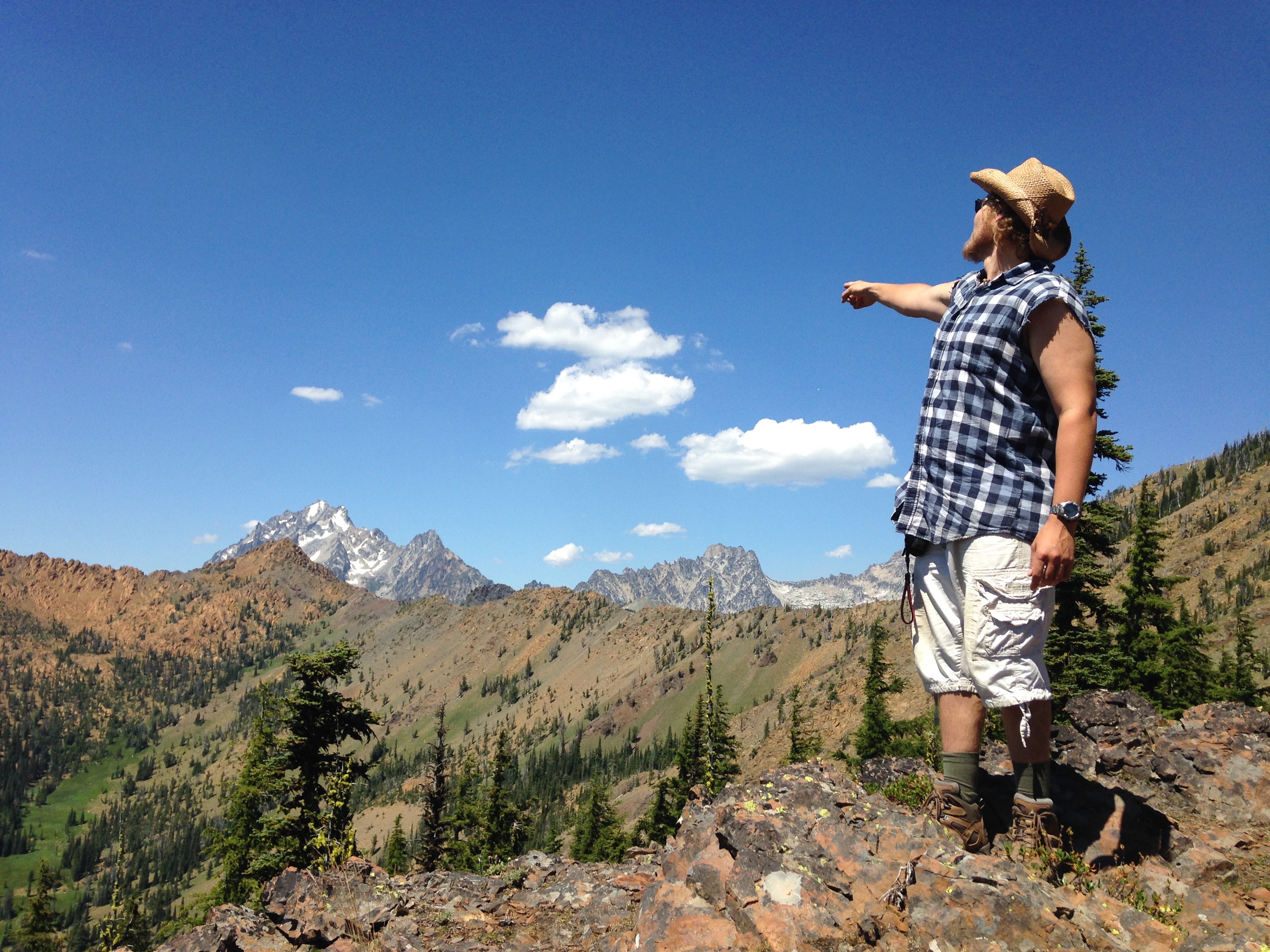
My field assistant (Karl Seitz) enthusiastically pointing out the magnificent Mount Stuart
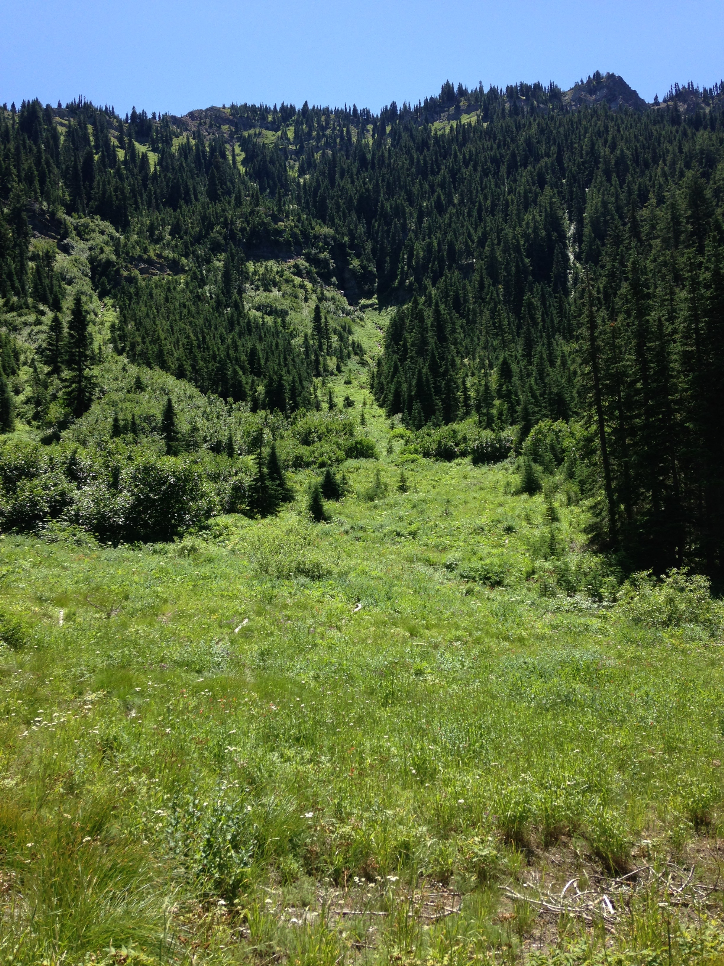
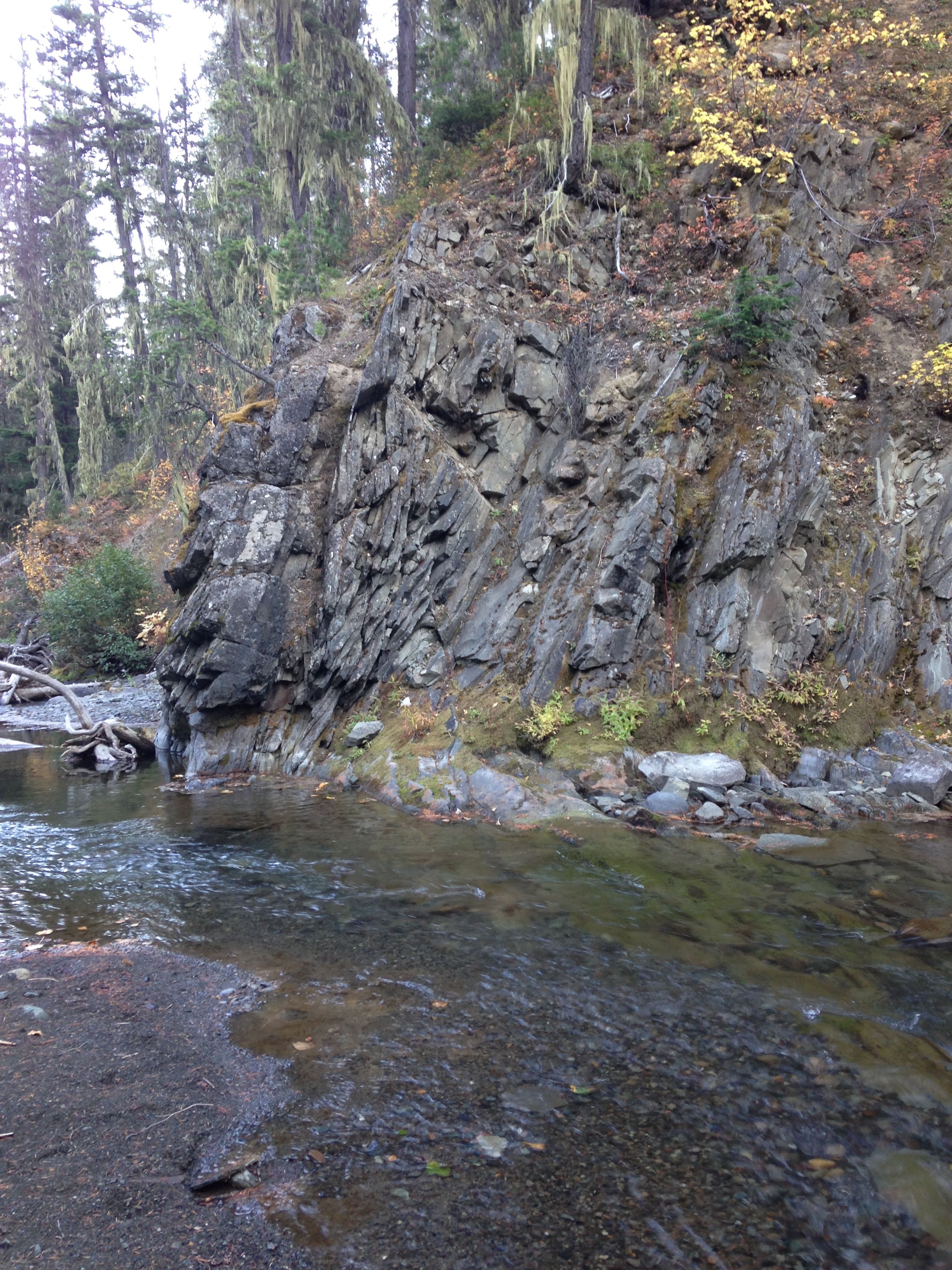
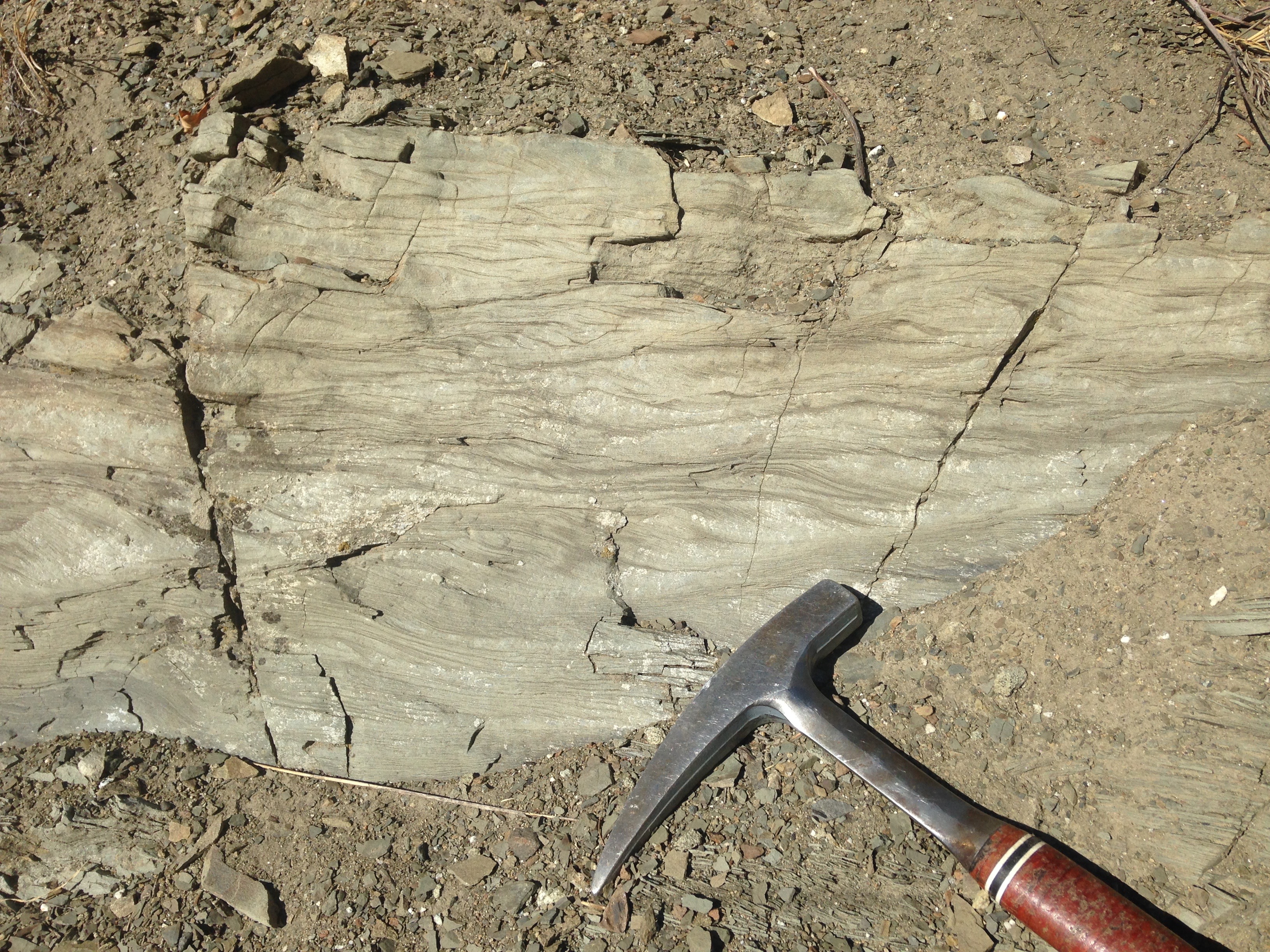
A typical amount of rock exposure in my field area
Field Work
I spent two field seasons, a total of 4 months, camping out and hiking around beautiful central Washington, mapping the details of the Swauk Formation and collecting samples for further lab analysis. During my first few days in the field, I realized that the majority of the mountains that make up the Swauk Formation are held up by thousands of basaltic dikes. This younger dike swarm was incredibly impressive; massive dikes and sills intruded the Swauk Formation and account for more than 70% of exposed rock in some areas of the basin. These dikes are feeder dikes for the overlying volcanic Teanaway Formation.
My field assistant (Nathan Liechty) casually providing a scale of these interbedded sandstones and mudstones of Swauk Pass
Massive Teanaway dike swarm devours the Swauk Formation leaving behind a sandstone xenolith.
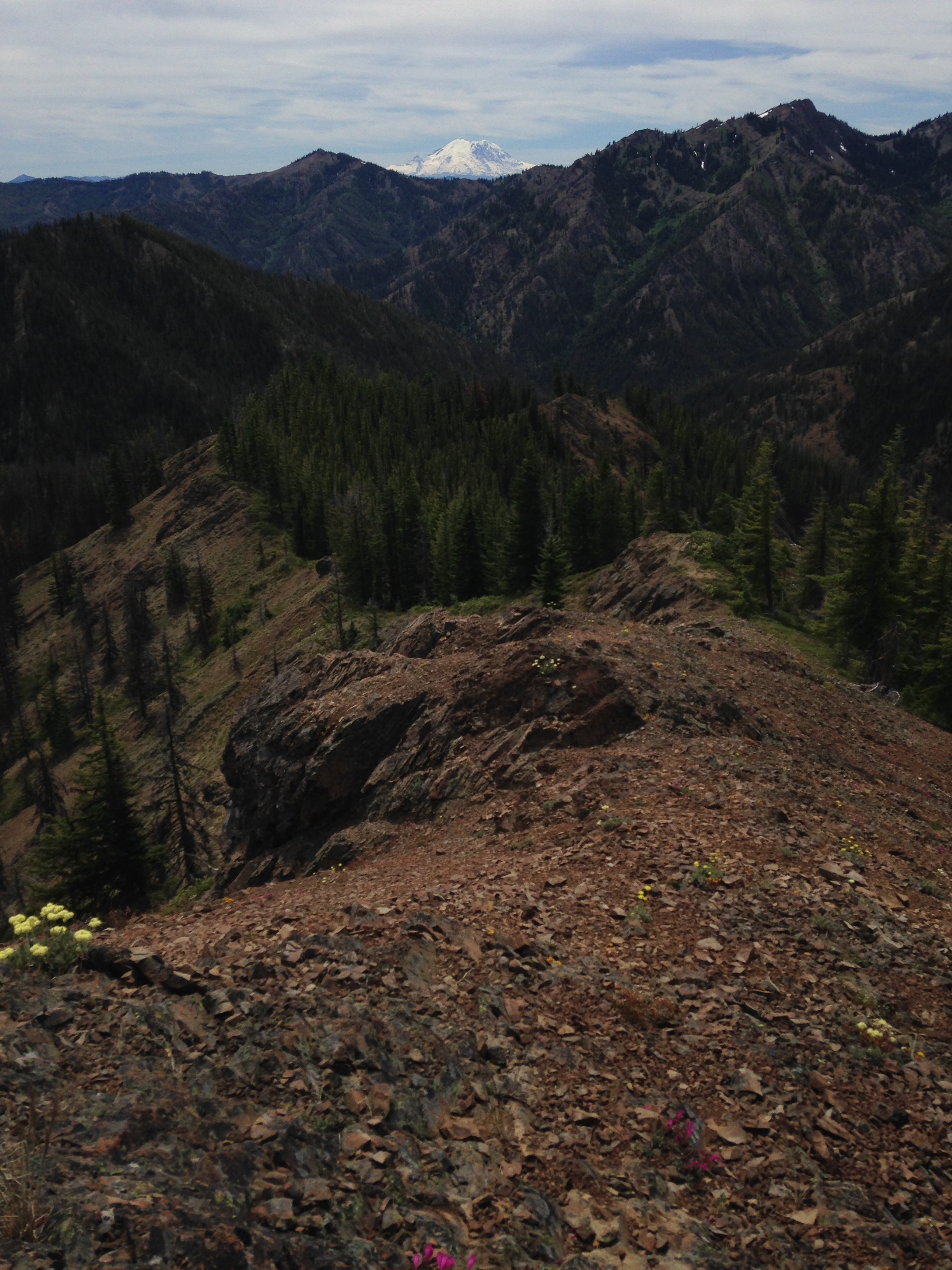
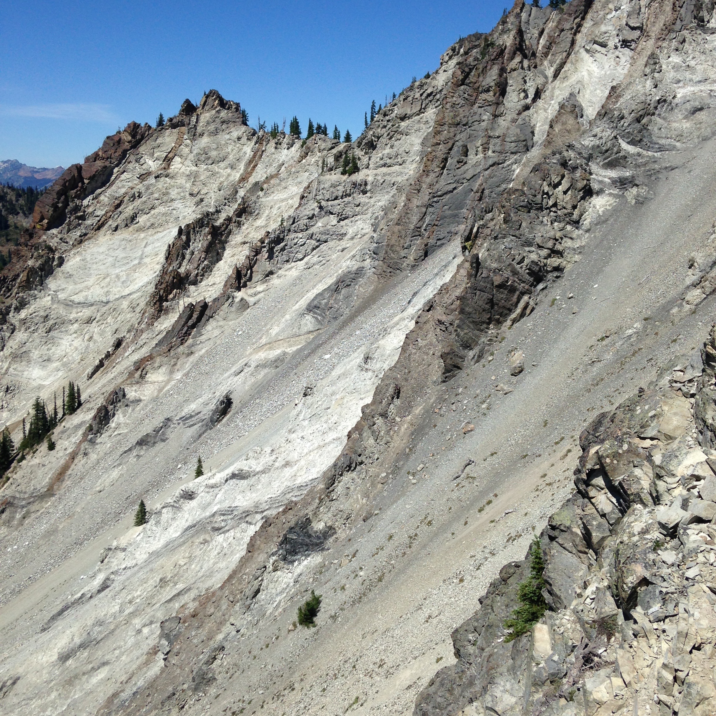
Looking back down a ridge spine of Teanaway dike with Mt. Rainier in the background
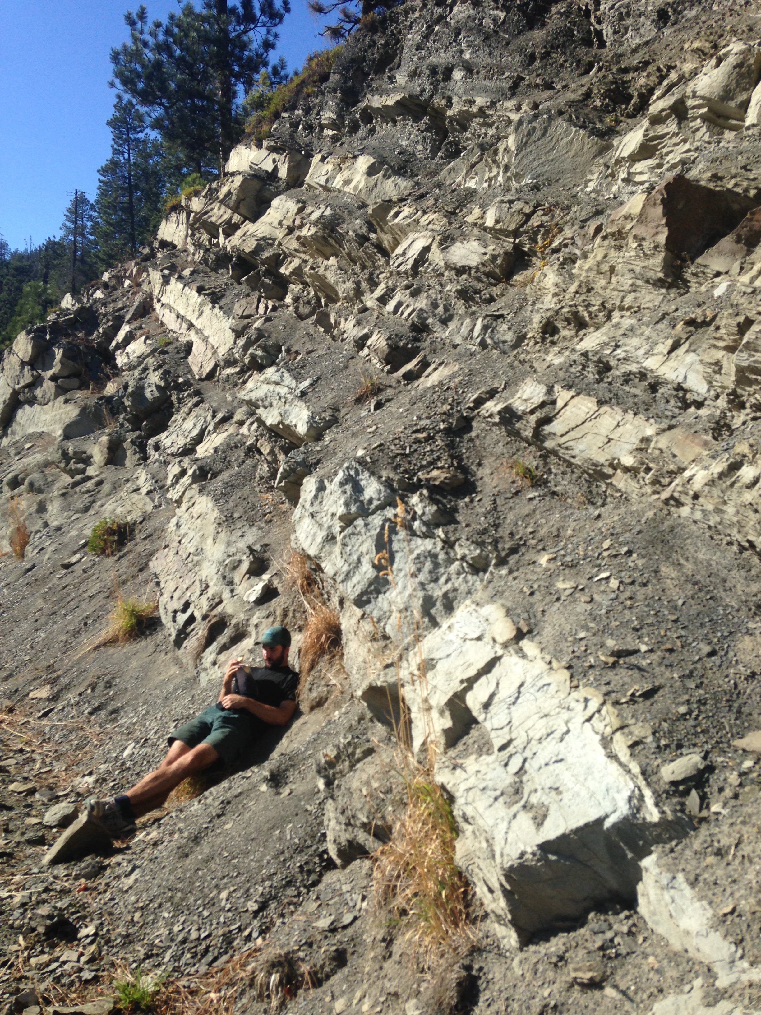
Samples of the Swauk Formation were collected along linear transects perpendicular to strike in order to analyze temporal and spatial trends. Getting to decent outcrop proved to be much more difficult than what I was used to in Arizona, where I was attending graduate school. In order to get decent sized samples, I needed to get up high, on ridge tops where there was exposed rock. Much of my field area lacked any development, requiring bushwhacking up densely vegetated mountain sides while taking advantage of every hiking trail and the occasional abandoned logging roads. In the mornings, my field assistant(s) and I would leave with backpacks full of water, when we would return in the evening, the weight in backpacks would be replaced with 20-30 lbs of rocks.
Swauk Formation with snow-covered Mt. Stuart in the background
Vertical and overturned strata in Swauk Formation
As I hiked around, I mapped the different lithofacies that make up the roughly 8 km thick Swauk Formation. Sandstone samples were shipped back to Arizona to make thin-sections for sandstone petrography and detrital zircon geochronology. A major contribution of my study was integrating sandstone petrography and lithofacies mapping with dating of detrital zircon grains within the sandstones. A total of 15 medium- to-fine grained sandstones were used for U-Pb age dating using LA-ICPMS (laser ablation- inductively coupled mass spectrometry) at University of Arizona’s LaserChron Lab. The power of detrital zircon geochronology is constraining sedimentation ages, rates, and matching detrital age groups to crystalline source terranes that were feeding into the basin.
Fossilized palm fronds give a glimpse into the warm, humid climate during the Eocene in the Pacific Northwest
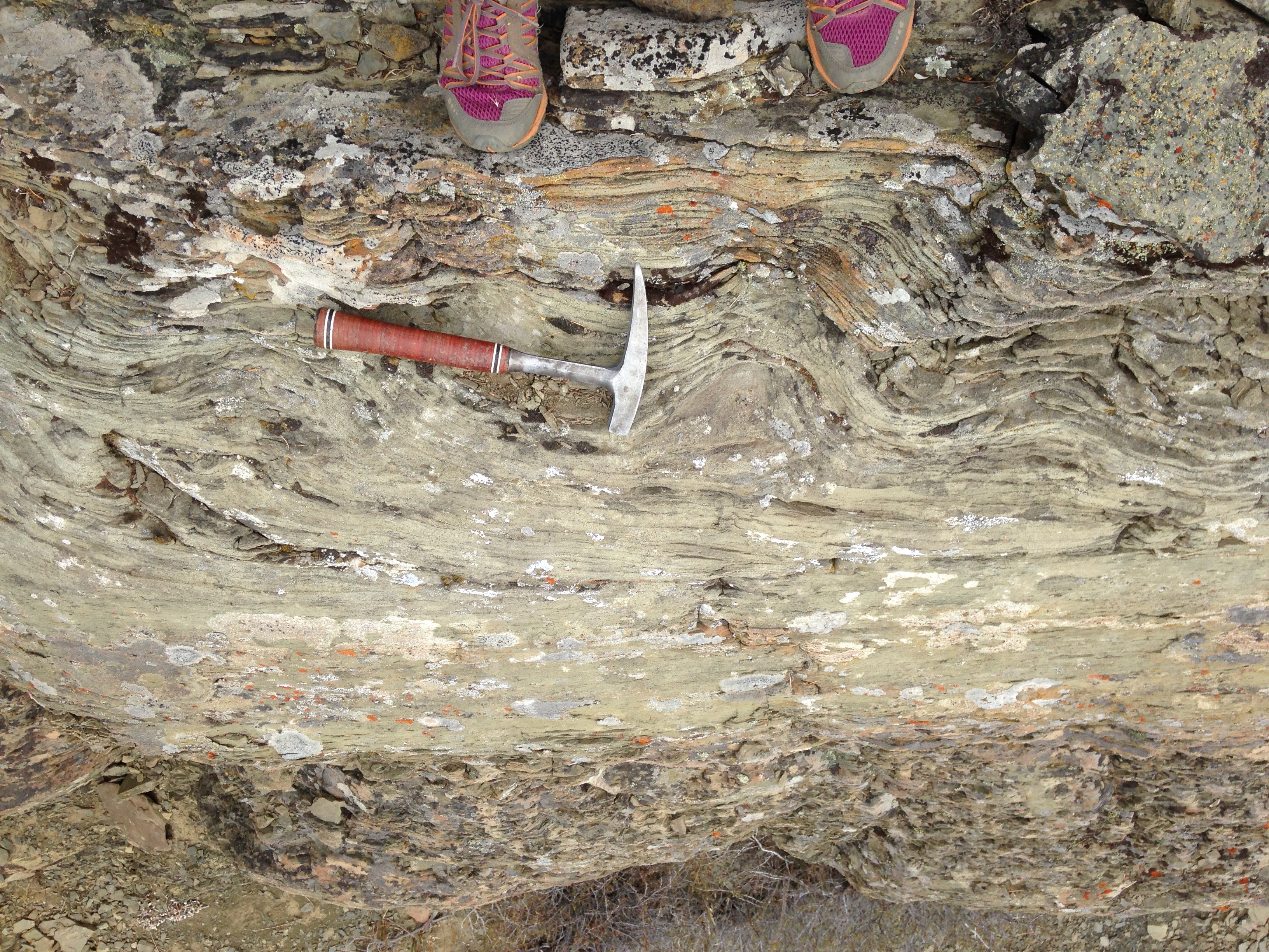
My field assistant (Nathan Liechty) walking along tilted lacustrine deposits on Tronsen Ridge
Results/ Conclusions
By integrating all of my datasets, I was able to put together a depositional history of the Swauk Formation as well as an uplift history of the region related to the evolving North American margin.
- Deposition of the lower Swauk Formation:
Near the basal contact of the Swauk Formation, the dominant lithofacies is coarse-grained sandstones and poorly-sorted to well-sorted conglomerates. These oldest rocks of the Swauk Formation (~59-51.5 Ma) were deposited by southwest flowing, high-energy braided stream systems. Previous paleocurrent data agreed with my new detrital zircon geochronology that the major source terranes were 80-60 Ma plutons to the east and north. In further agreement, my sandstone petrographic work resulted in an increase of immature sandstones (rich in biotite and plagioclase) to the east, suggesting sources were to the east and the less stable minerals were broken down before being deposited in the west. The uplift of these mountains and the lack of any magmatism suggests that there may have been flat slab subduction under the field area at this time during ongoing subduction. Further east in British Columbia and Idaho, however, there was extensive backarc magmatism and core complex exhumation, which may be attributed to a slab window further inboard.
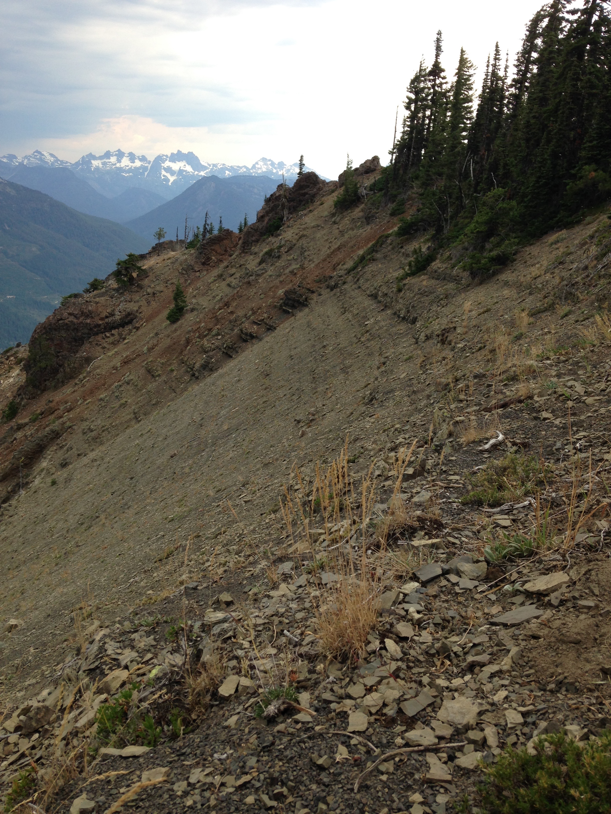
Nearly flat lying Swauk strata with picturesque North Cascade peaks in background
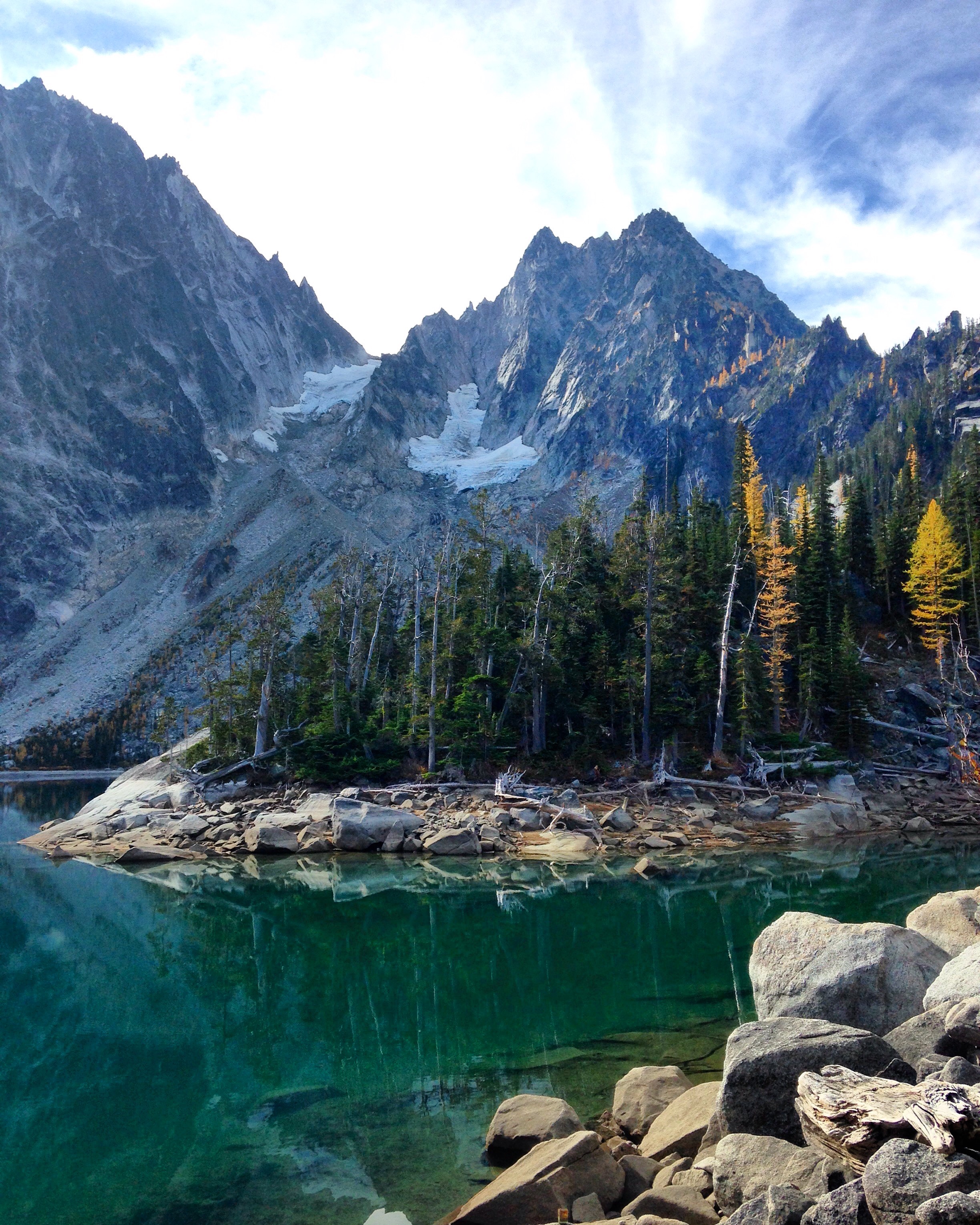
The grandiose Mount Stuart Batholith with Colchuck Lake in the foreground. Mt Stuart was one of the major inputs of sediment into the Swauk basin
- Deposition of the upper Swauk Formation:
The younger Swauk Formation lithofacies transitions to dominantly finer grained sandstones, siltstones, and mudstones deposited via meandering streams and lacustrine environments. During deposition of the Upper Swauk Formation (51.5- ~50 Ma), there was a reversal in paleocurrent directions, increased sediment accumulation rates, and the introduction of the Silver Pass volcanic rocks into the basin. These volcanic rocks suggest the end of flat slab subduction in the region and potentially a slab window or slab edge beneath the field area. Also at this time there is a stark shift in the detrital zircon ages; the dominant age group matches 100-87 Ma source terranes to the north, suggesting that these mountains were uplifted and became the prominent source of detritus into the basin. This change in detrital zircon ages may have been a consequence of these mountains creating a topographic barrier, blocking the detritus from the east from getting into the basin.
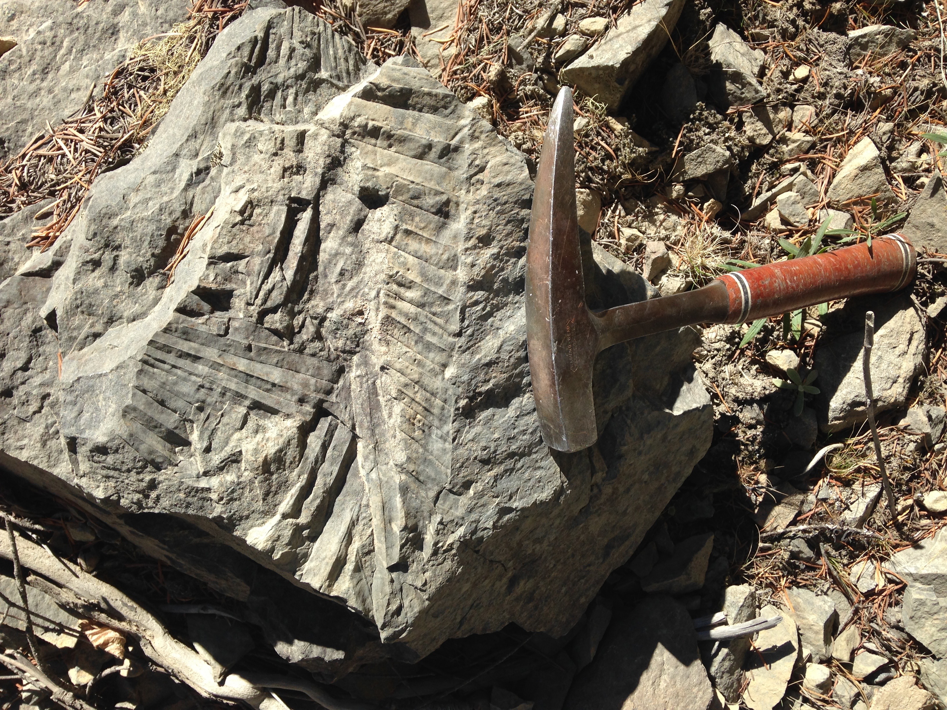
Climbing ripples associated with the lacustrine deposits of the Swauk Formation
Convolute bedding of the fine-grained sandstone lithofacies
- Post Depositional Deformation:
Sometime before the voluminous dike swarm was emplaced, the Swauk Formation was deformed into tight NW-SE and E-W trending folds. This short lived deformational event may be a result of the collision of an oceanic plateau that formed off the coast as a result of hotspot plume magmatism along the spreading ridge. After this collision occurred, the tectonic regime switched to strike slip dominated motion, marked by motion on large dextral faults that partitioned the Swauk basin and the intrusion of the dike swarm. Some parts of the Swauk basin were translated northward, up to 150 km, close to the border of Canada. The intrusion of the voluminous Teanaway dike swarm may be related to upwelling asthenosphere associated with a slab window beneath the field area. At this time, the spreading ridge triple junction had migrated southward out of the region towards southern Washington and Oregon. After the oceanic plateau was accreted to the margin, the subduction zone jumped westward to form the modern-day Cascade arc, where active volcanism continues today.
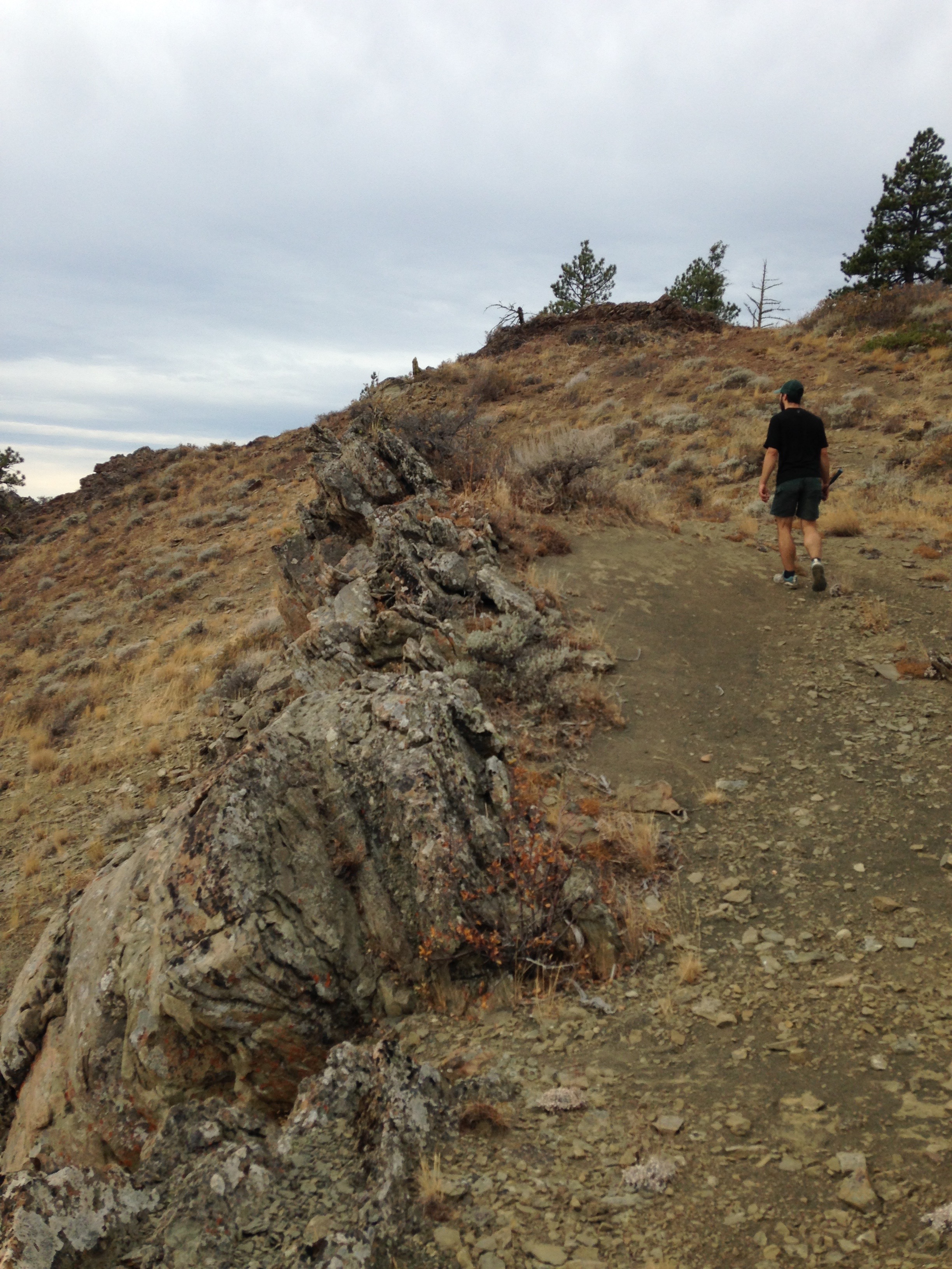
Wedge-shaped shear zone deforms both the Swauk Formation and the younger Teanaway dikes
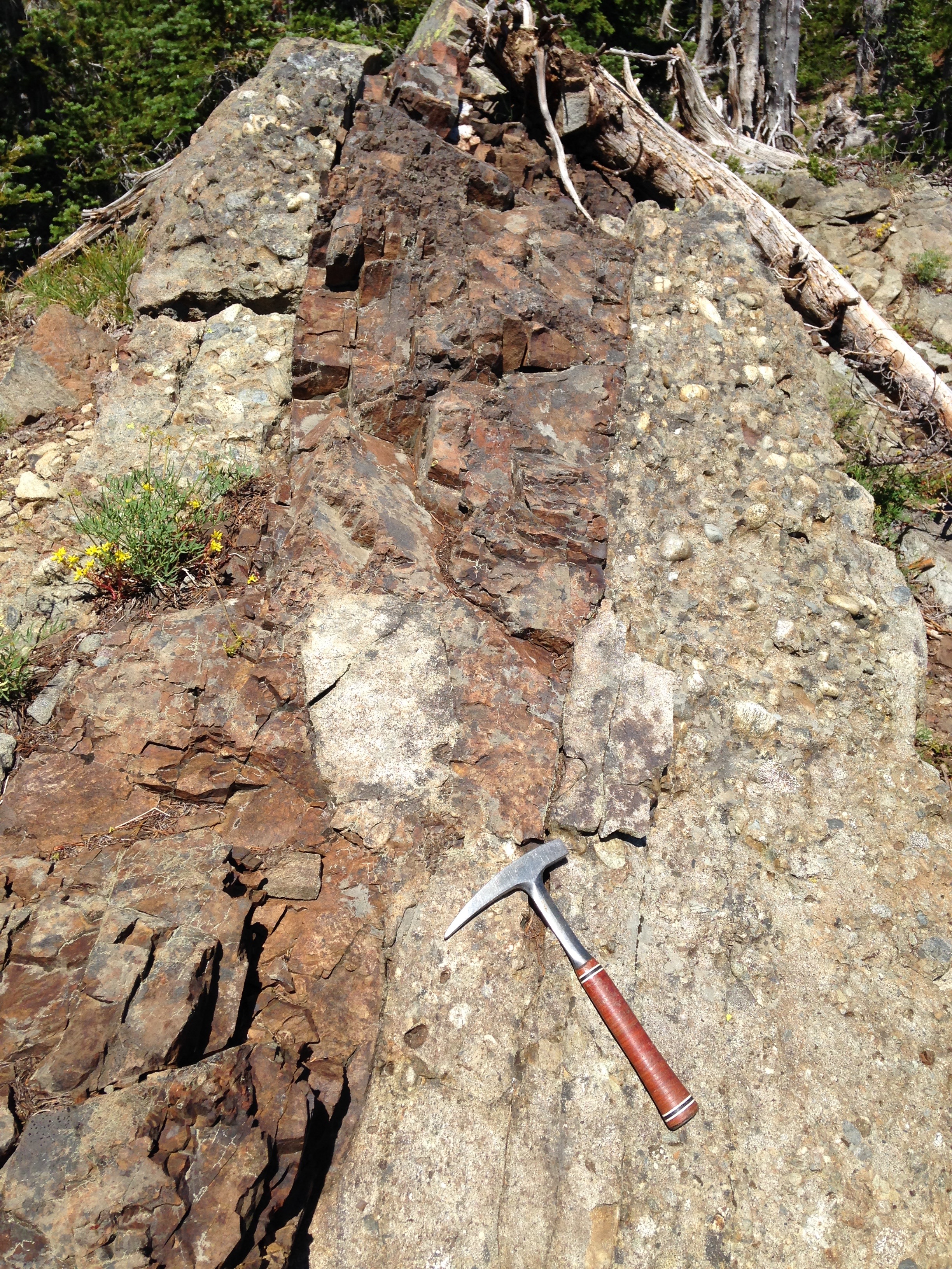
Complex geometry of the Teanaway dikes that intruded this basal Swauk conglomerate
The geology of the Swauk basin reveals an abundant amount of information, all clues to the development of the mountains, ridges, and valleys that I studied for several years during my graduate school research. I now have a greater appreciation for the complexity of landscapes and the history they reveal. So, the next time you’re hiking around, I encourage you to observe the landscape around you. Why are the mountains where they are? The valleys? Let your imagination run wild. The rocks hold a much more interesting and complex story than you might originally think.
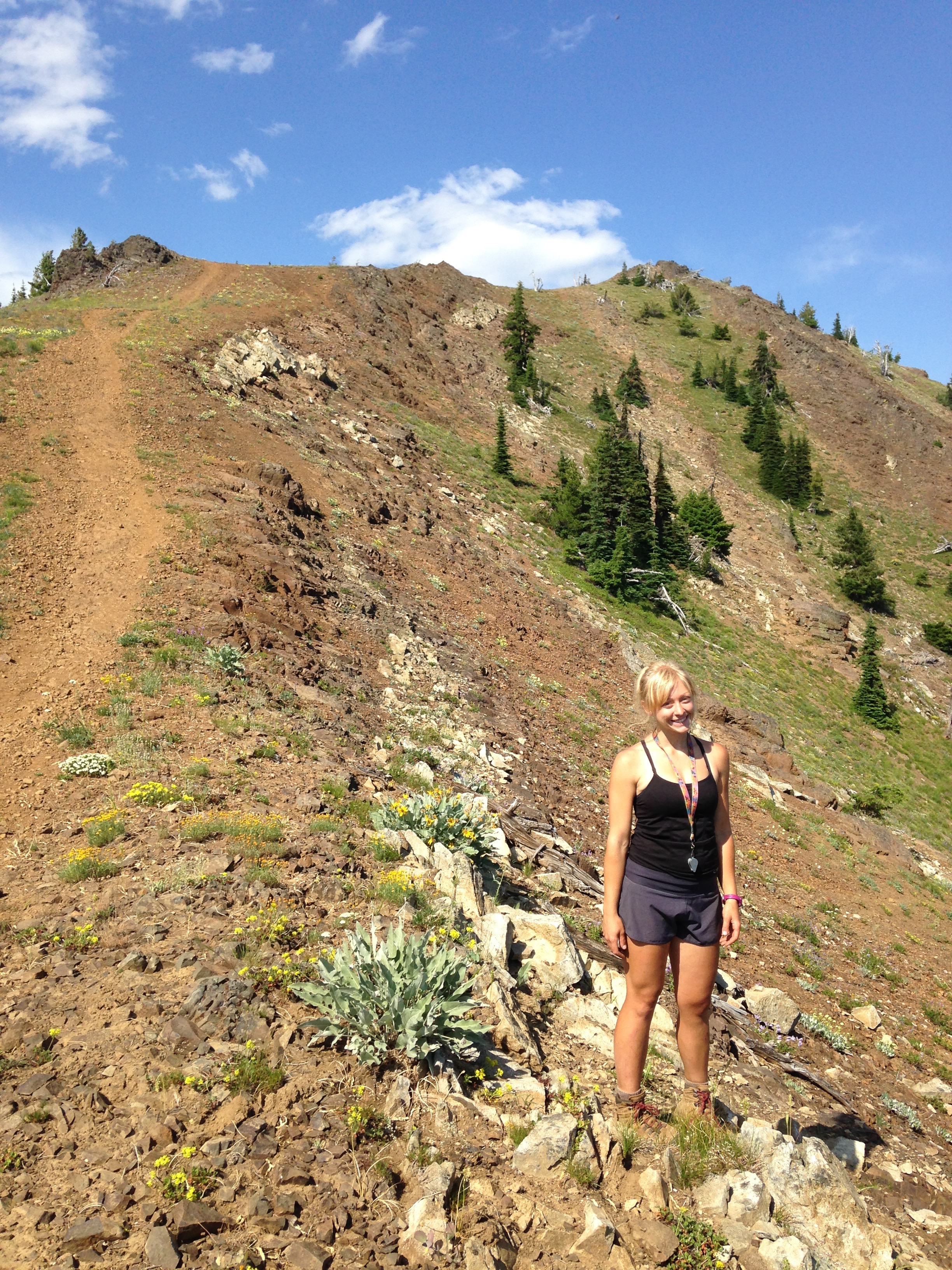
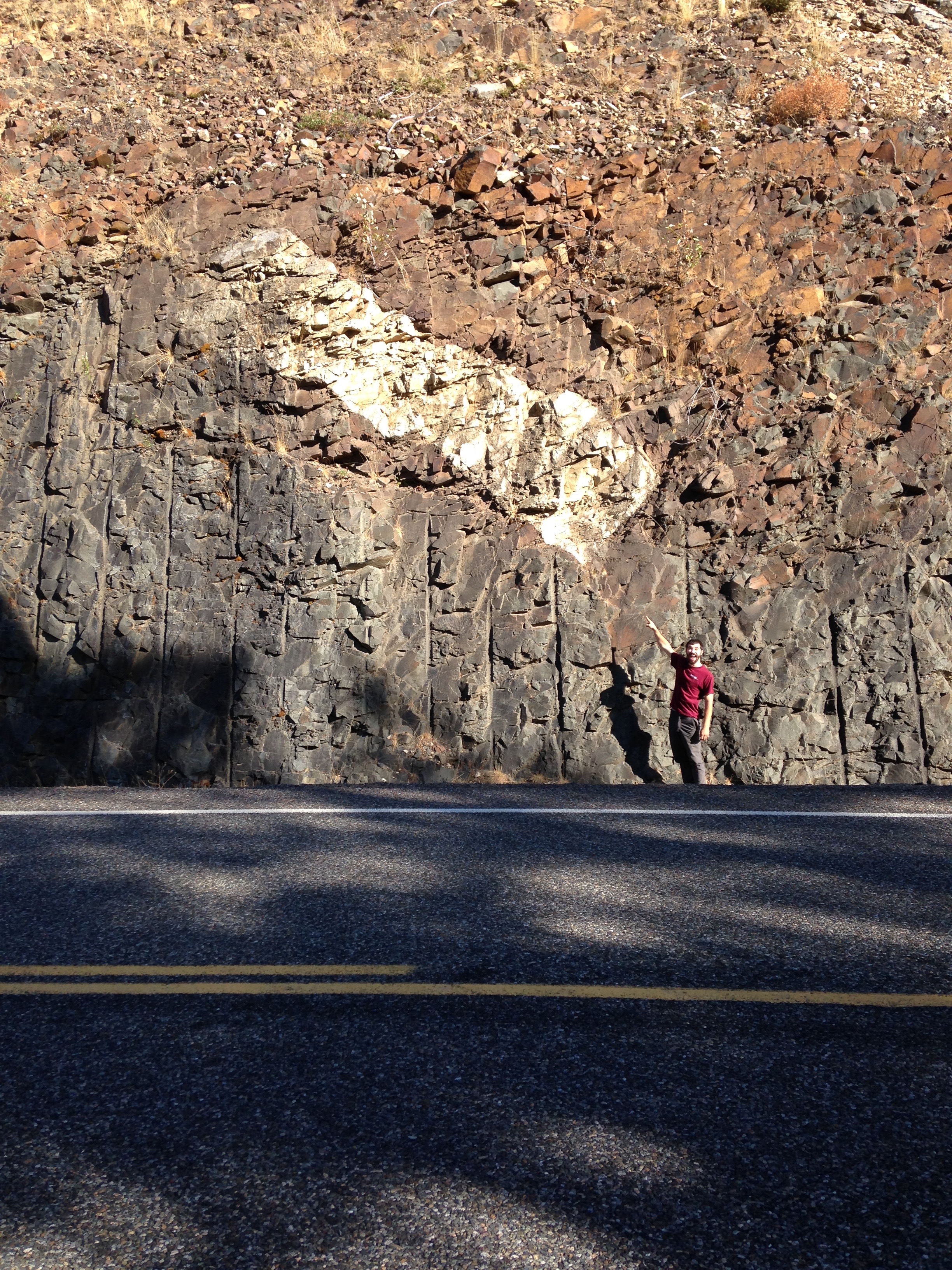
Melissa standing on a thin swath of Swauk Formation sandwiched by Teanaway dikes on the approach to Earl Peak summit
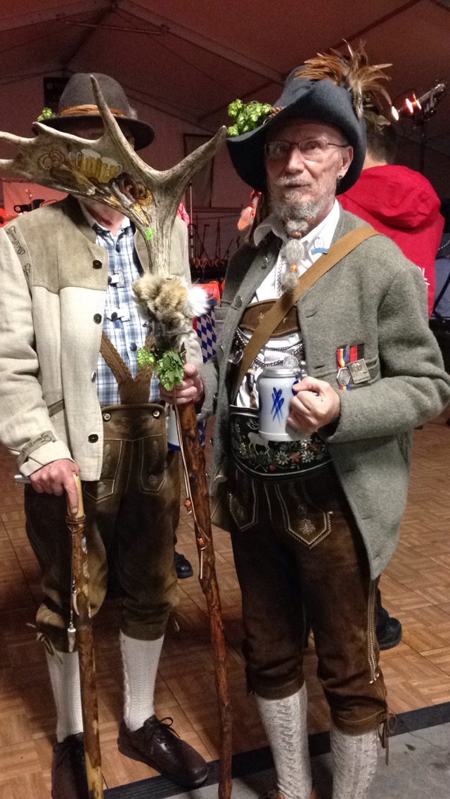
A Leavenworth local shows off his fantastical Oktoberfest fashion

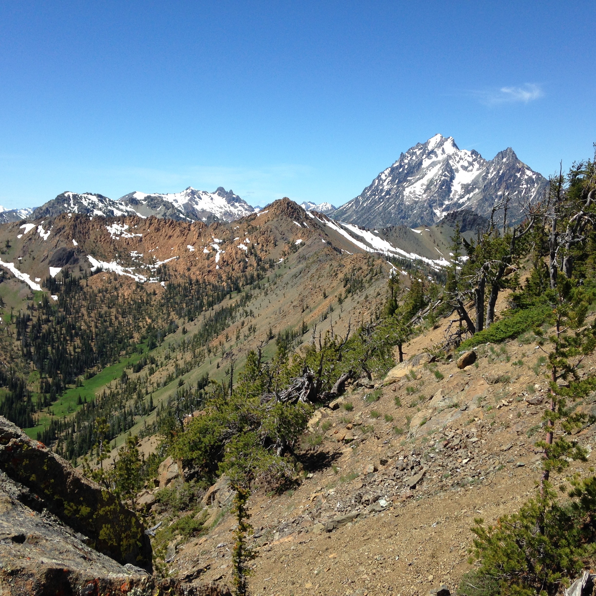
A view of Mount Stuart from Koppen Mountain
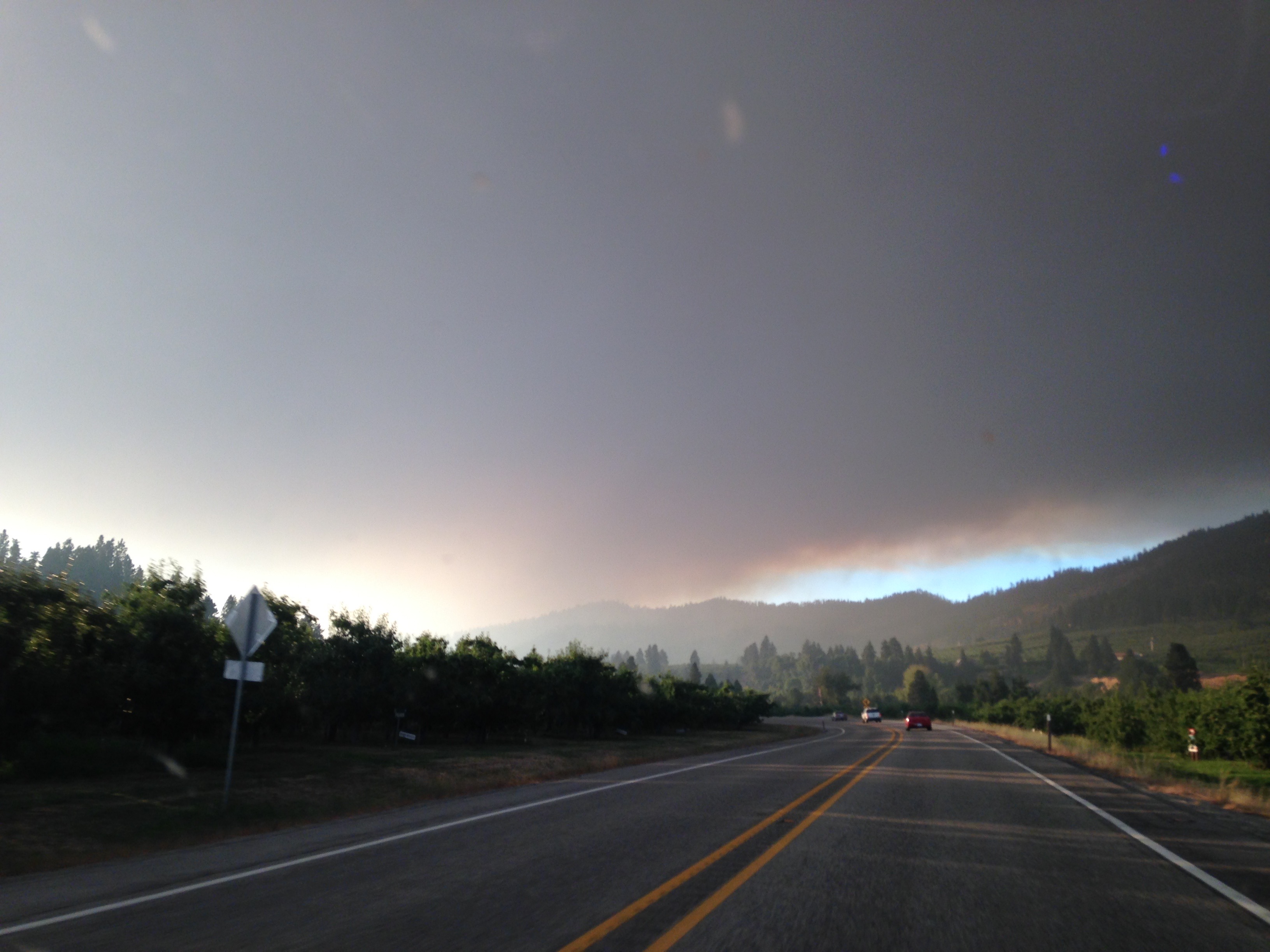
Wildfire haze over Central Washington
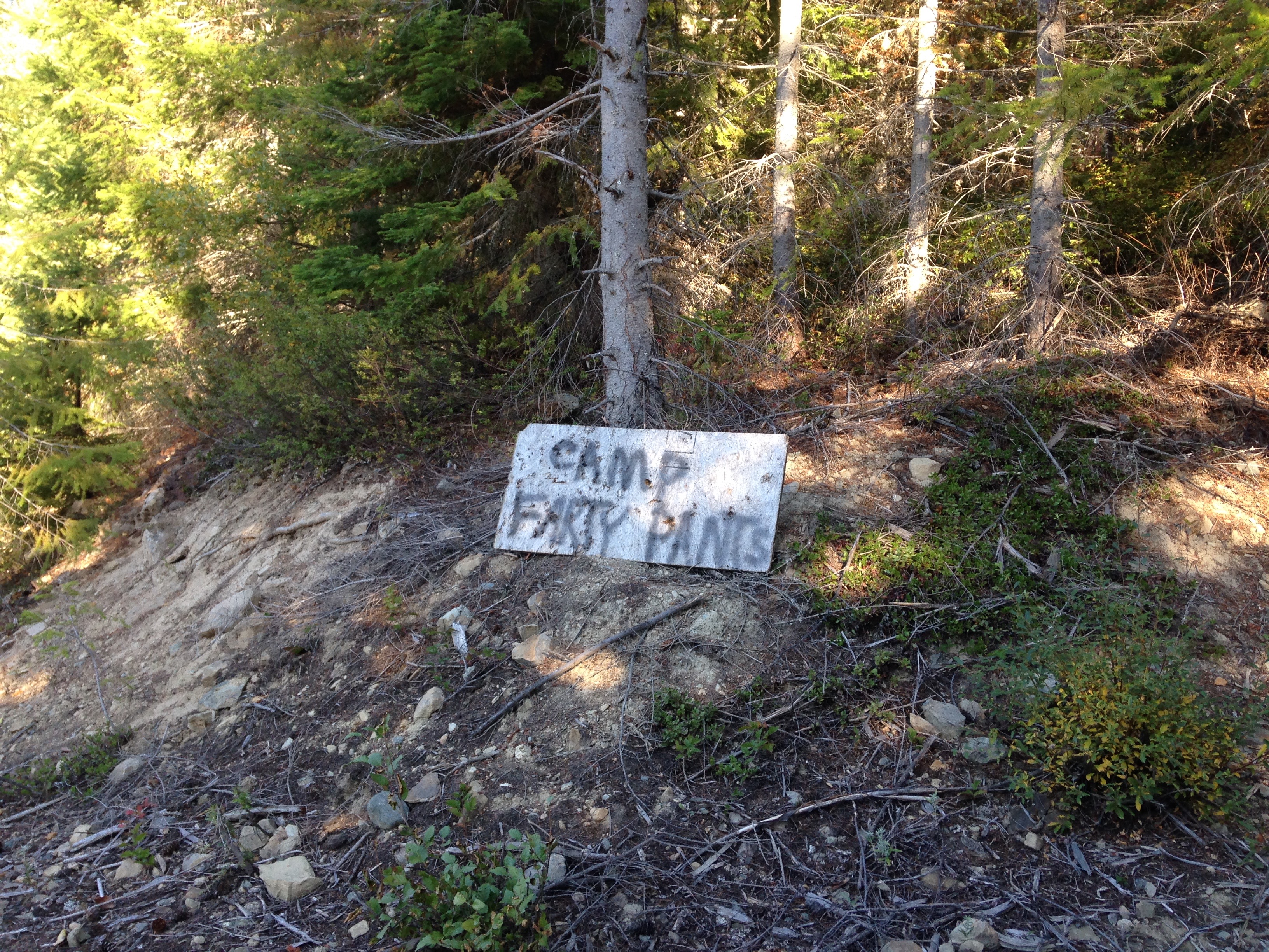
Weird signs in the woods – “Camp farty pants”
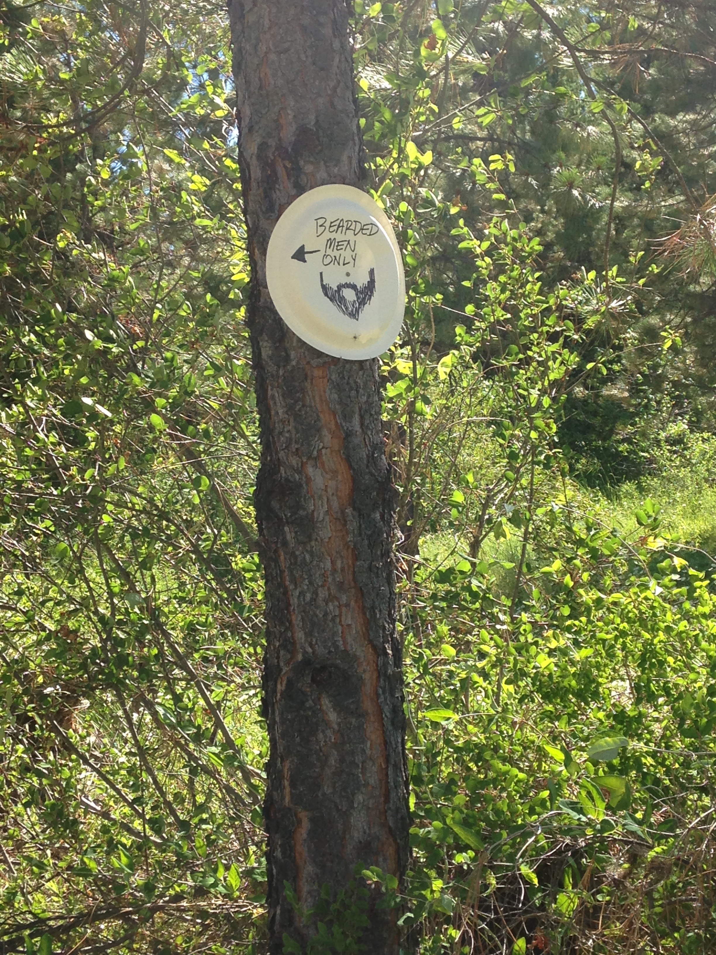
Weird signs in the woods – “bearded men only”
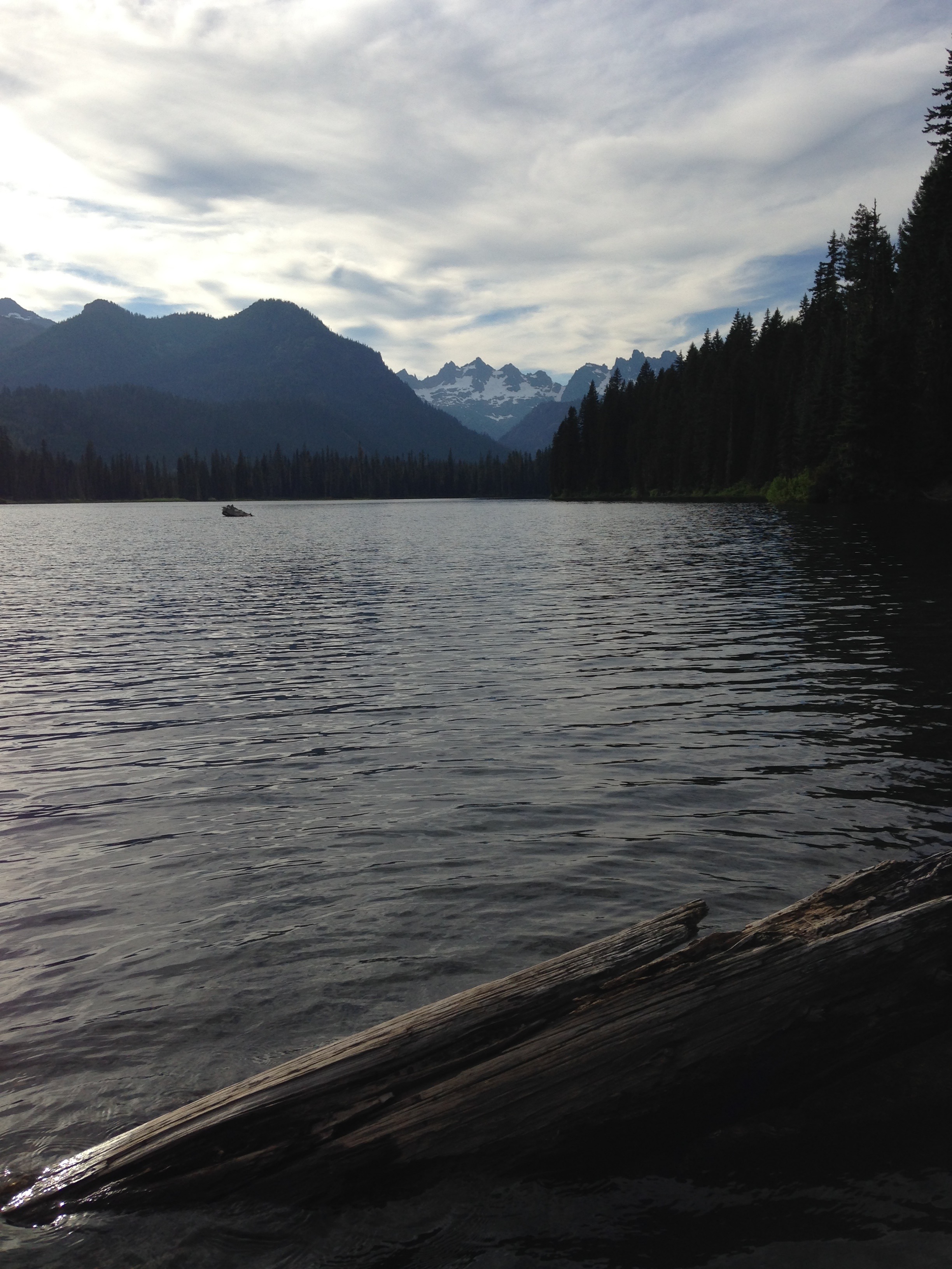
One of the many alpine lakes I enjoyed during my field work
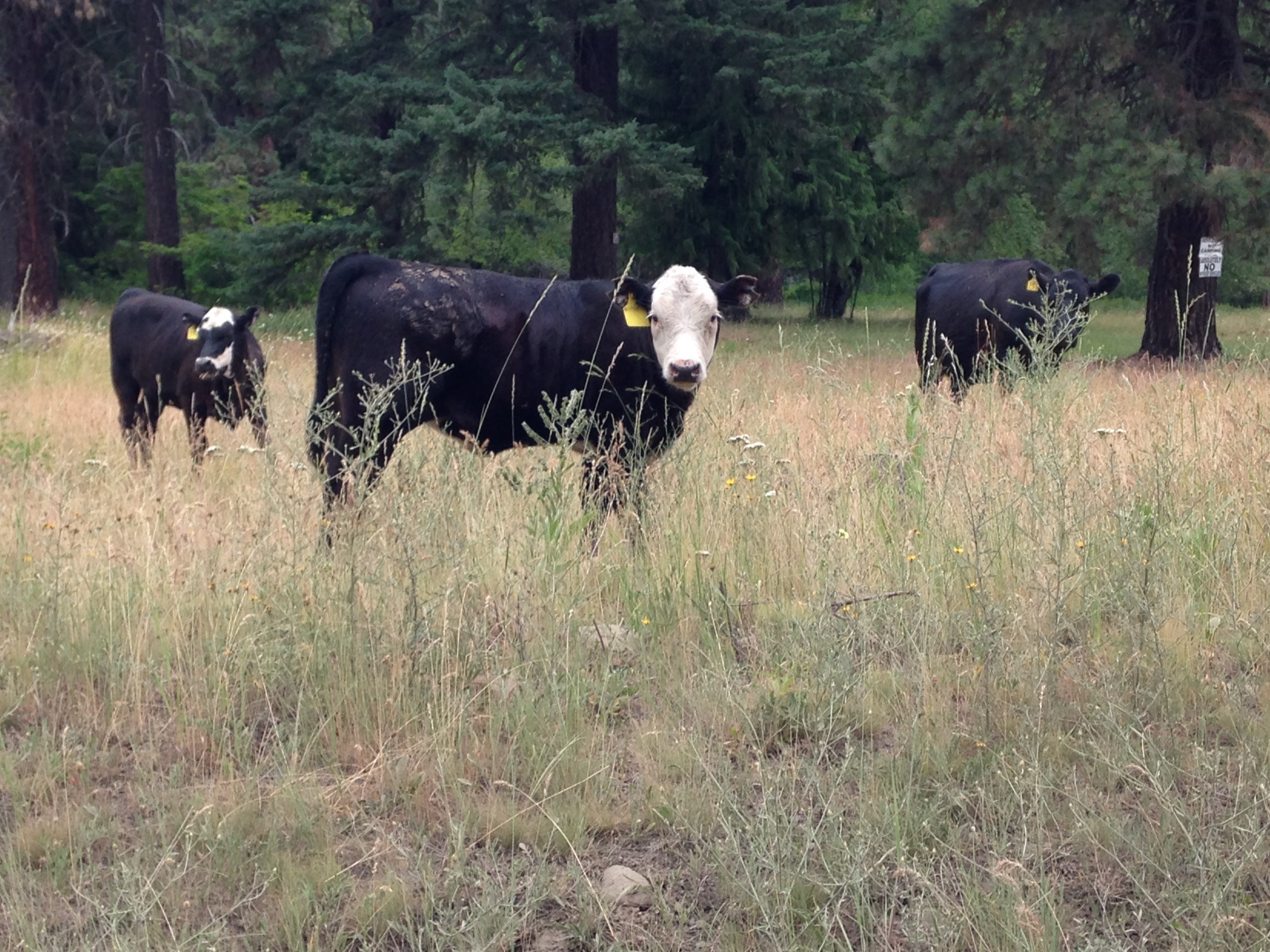
Free range cattle and their calves were common visitors in my field area
![]() This work is licensed under a Creative Commons Attribution-NonCommercial-ShareAlike 4.0 International License.
This work is licensed under a Creative Commons Attribution-NonCommercial-ShareAlike 4.0 International License.