Derek Field (M.Sc) is a geologist from Calgary, Canada. After getting his B.Sc in Geology from California Lutheran University and working as a volcanology intern for the University of Colima, Mexico, he migrated to Flagstaff, Arizona, to pursue Sierra Nevada research under Nancy Riggs at Northern Arizona University. Derek specializes in doing fieldwork in remote, rugged areas of the US, Mexico, and South America, focusing on continental volcanic arcs and large silicic systems. He recently earned his Masters in Geology degree from Northern Arizona University.
My eyes crack open to the eager rays of backcountry dawn. I find myself nestled cozily in sleeping bag on bare metavolcanic slab, a solid day’s walk into the enchanting John Muir Wilderness of the High Sierra. With a deep inhalation of frosty mountain air, I sit up, emerge from my down cocoon, and stroll about the campsite attending to various chores. Eventually I go bumbling down towards the glassy, smooth lake to fetch water for coffee. Ray, my sprightly field assistant, is already sitting peacefully down by the shore with notebook in lap. After issuing me a warm greeting punctuated by a trademark one-liner, he kindly indulges me his thoughts. For the past half hour, he’s been ruminating on our working hypothesis that the tuff of Skelton Lake, a voluminous rhyolite ignimbrite dated at 216 ± 2 million years old, was originally erupted from a caldera. This caldera would have been one of many such structures that formed along the Sierran arc during the Mesozoic era. We were looking for clues as to the style and direction of eruption, hoping ultimately to find evidence of the caldera structure itself. I seat myself beside Ray on the placid shore and we ruminate together.
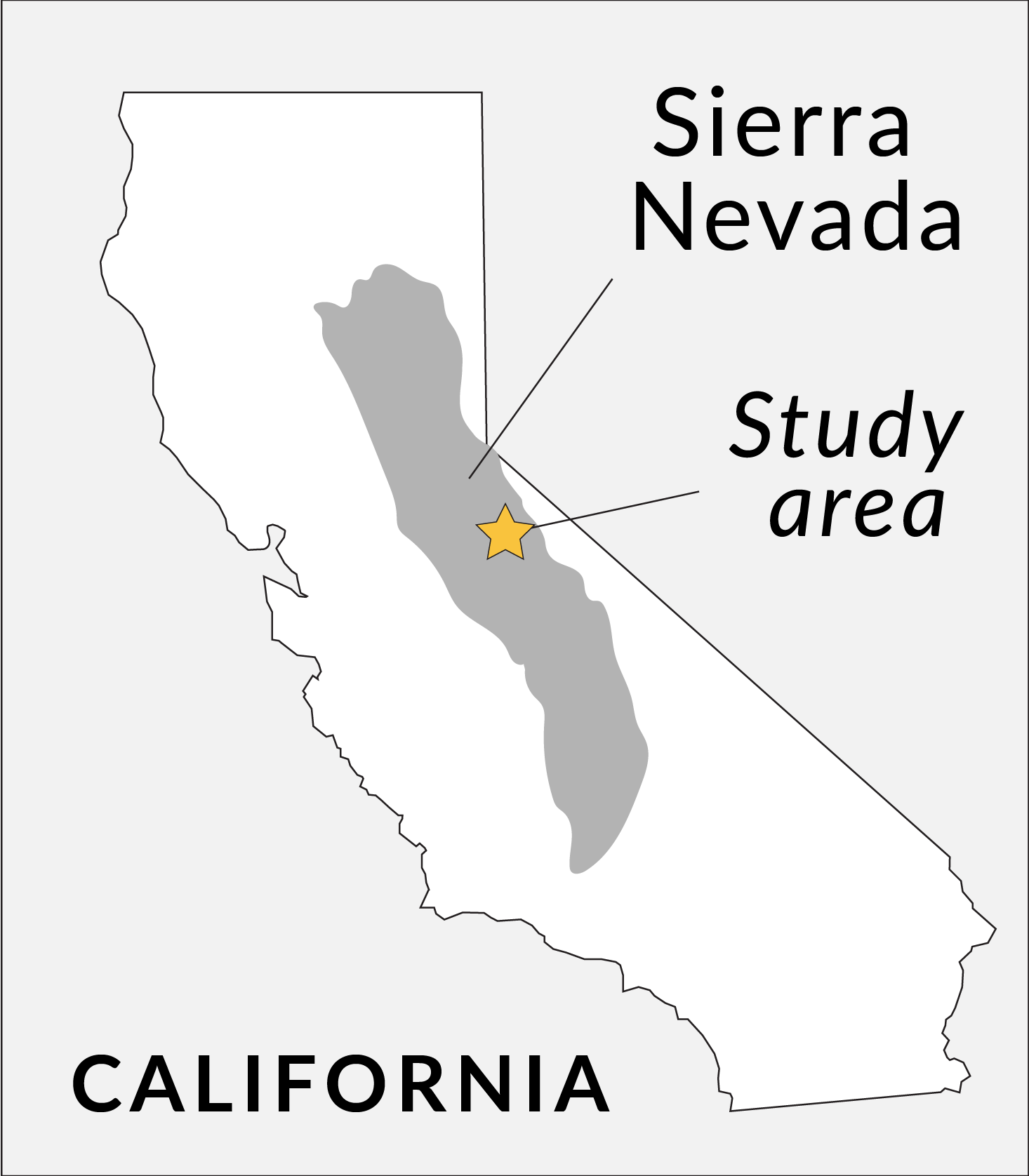
Location of the Mount Morrison pendant within the Sierra Nevada of California.
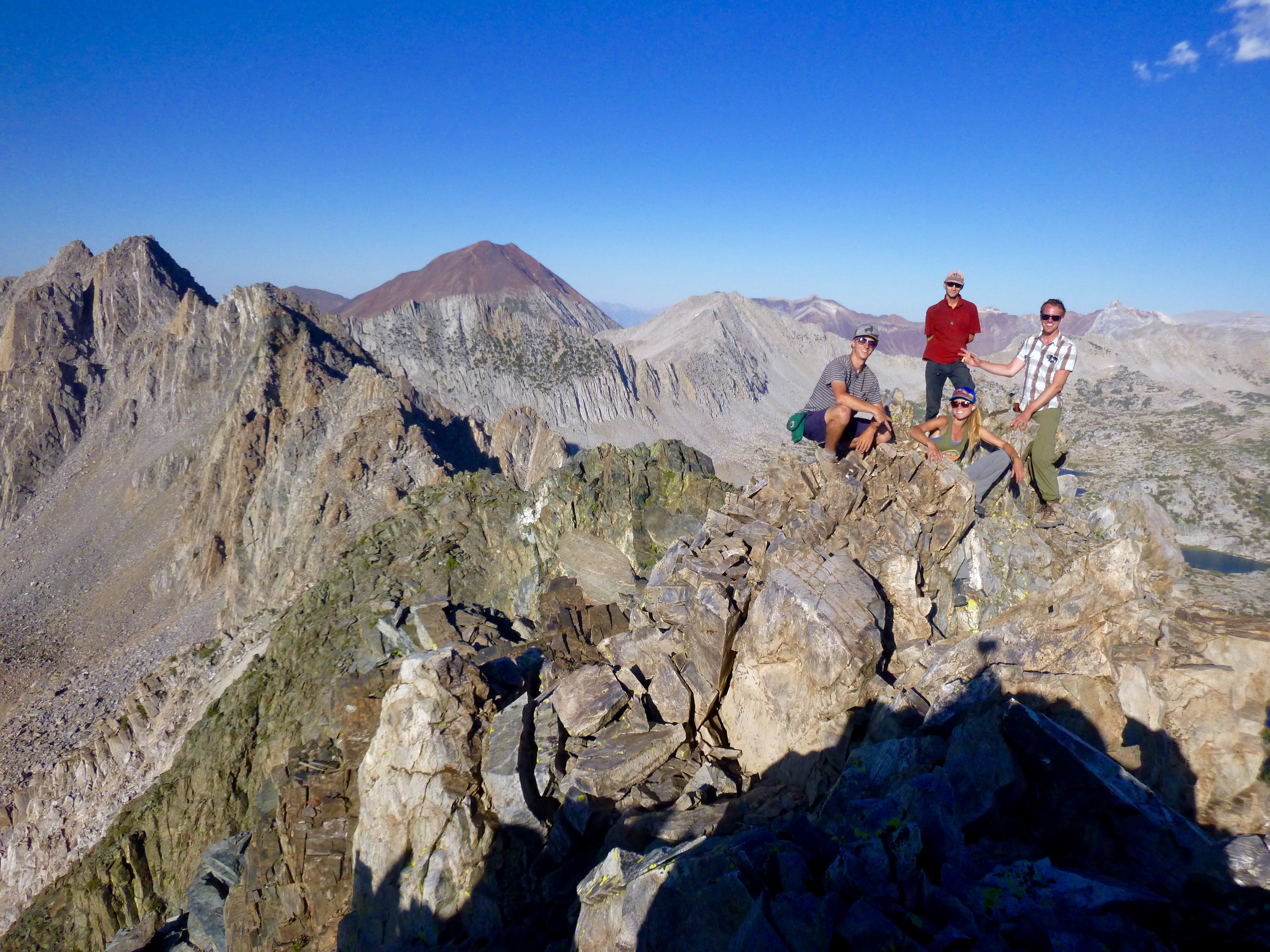
The field crew assembles atop an unnamed 3,600-meter peak for a group photo. Clockwise from top: Ray Eckland, Steve Dobbs, Emma Lodes, and the author Derek. The conical red-topped peak on the horizon is Bloody Mountain (3,827 meters) and is a textbook example of a pendant (red metasedimentary rock atop grey granite).
The Mesozoic part of the Mount Morrison pendant contains nearly 100 km3 of volcanic and sedimentary rocks deposited between the Late Triassic epoch and the latest Early Cretaceous epoch, when the Sierra Nevada was a chain of volcanoes known as the Sierran arc. Like other nearby pendants, the Mount Morrison pendant is bounded on all sides by granitic suites of the Sierra Nevada Batholith. Despite the fact that the rocks of the Mount Morrison pendant have undergone hornfels- to greenschist-facies metamorphism in addition to structural deformation, they hold information related to the paleogeographic and volcanologic setting of the Sierran arc.
Whereas the Ritter Range and Saddlebag Lake pendants have been the focus of much study in recent decades, the Mount Morrison pendant has gone virtually unstudied in volcanologic context since the original 1959 USGS survey. My thesis project is a comprehensive study of the Mesozoic rocks of the Mount Morrison pendant, with the goal of deciphering their role in Sierran arc history. Recent studies have characterized the activity of the Sierran arc in terms of “arc tempo”, a concept which entails that continental arcs are not built at a steady rate, but rather through a series of alternating pulses and lulls. During pulses, magmatic flux rates increase by one to three orders of magnitude, thus contributing the vast majority of plutonic and volcanic material to the arc. The emerging story of the Sierran arc tempo is that it was concentrated into three distinct episodes: Late Triassic, Middle-Late Jurassic, and Early-Late Cretaceous.
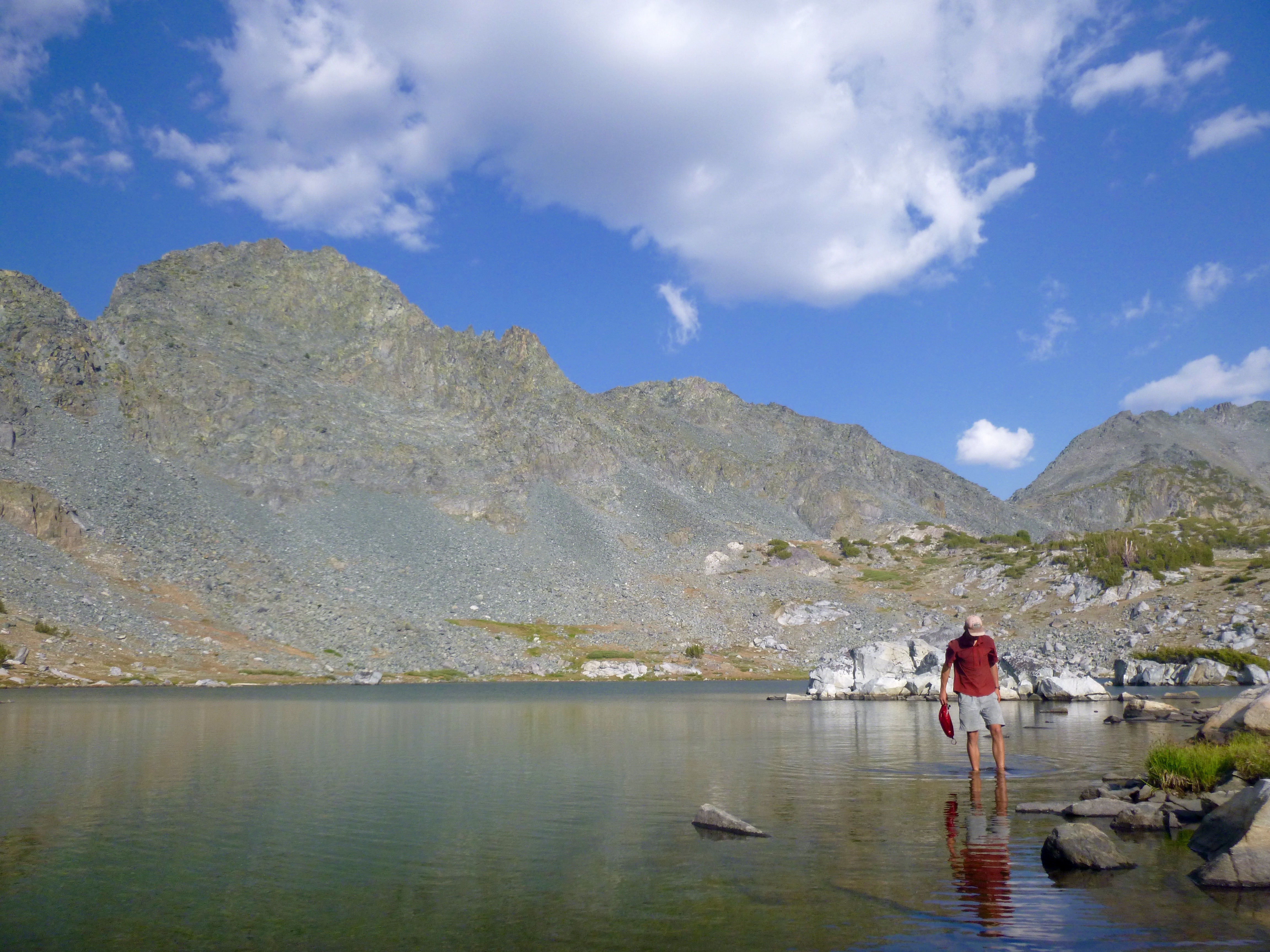
Field assistant Ray Eckland washes feet in the middle Deer Lake (~3,300 meters) with Cretaceous andesite porphyry on the Mammoth Crest skyline.
Field assistant Ray Eckland ascends the iconic Bloody Couloir in search of the most direct path to Mesozoic volcanic rocks in the remote Ram Lakes basin.
As Ray and I sit by the lake, it’s now our second field season (2017) in the Mount Morrison pendant, and we’ve been exploring the finer details of the caldera hypothesis, among other areas of research involved in the greater project that is my Master’s thesis. Can systematic changes in thickness or grain size inform the emplacement mechanism and source location of the tuff? At its most fundamental level, the idea of a caldera source for the tuff of Skelton Lake is supported by the overall regional extent of the unit: the tuff occupies the entire 10-km length of the pendant at a constant thickness of ~1.2 km. It is intruded by hypabyssal porphyry, another feature common to calderas. The monotonous texture and composition of the tuff wasn’t telling us much, however. The tuff of Skelton Lake proved to be rather boring, and we thought we might have an extra-caldera outflow sheet on our hands. Despite making headway on other aspects of the overall project, the caldera story remained untold.
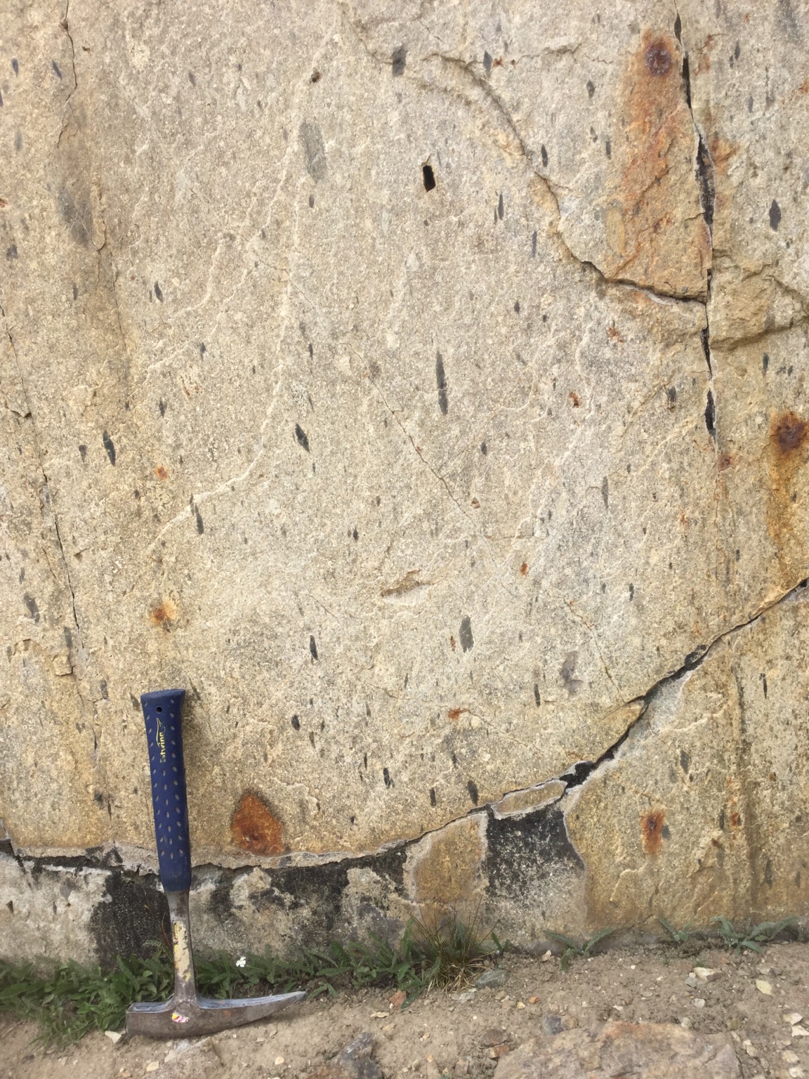
The monotonous variety of the tuff of Skelton Lake exposed near its namesake Skelton Lake. Note the relatively even distribution of dark fragments (lithic and pumice clasts). Hammer is 33 cm long.
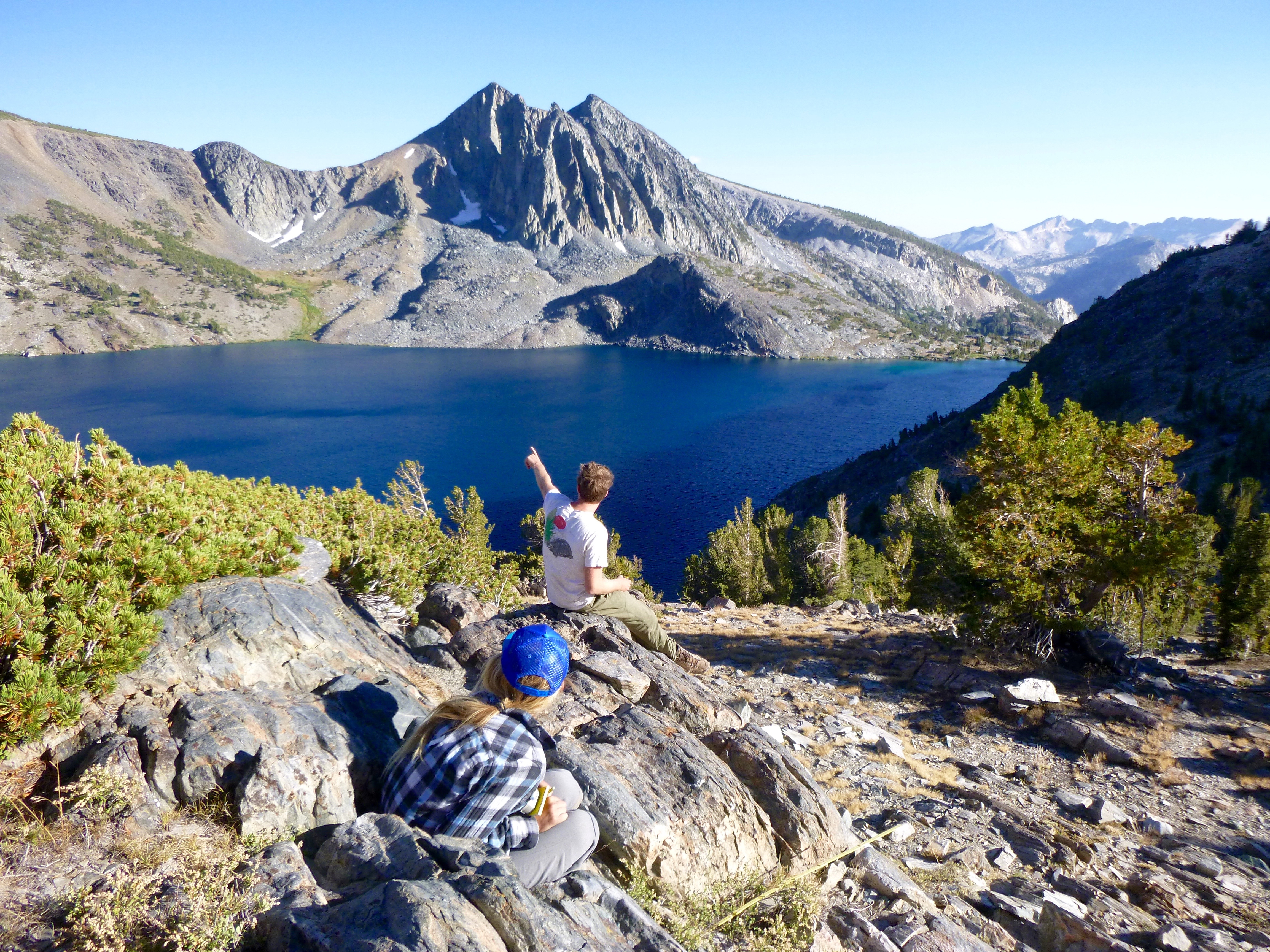
Sitting on an outcrop of tuff of Skelton Lake, field assistants Steve Dobbs and Emma Lodes do some arm-waving at the cliffs on the other side of the lake.
That is, until our final trip to the backcountry. We’d structured our fieldwork schedule into a series of successive 3- to 6-day trips, which proved to be a fruitful tactic for covering such a large field area (nearly 100 km3) in such rugged alpine terrain. Now that our final trip was upon us, it was time to investigate the last unmapped section of the field area: an isolated, 10-km2 exposure of metavolcanic pendant rocks in the vicinity of the North Fork of Fish Creek headwaters. To add intrigue, this area was left untouched by the original (1959) USGS surveyors, and they could only speculate that the strata were related to those in the main body of the pendant. A later (1972) study by a pair of structural geologists (Benjamin Morgan and Douglas Rankin) identified the rocks as part of the Duck Lake sequence, part of the central Mount Morrison pendant. As such, I was excited to gain new insight into this fascinating assemblage by documenting it in this isolated corner of the pendant.
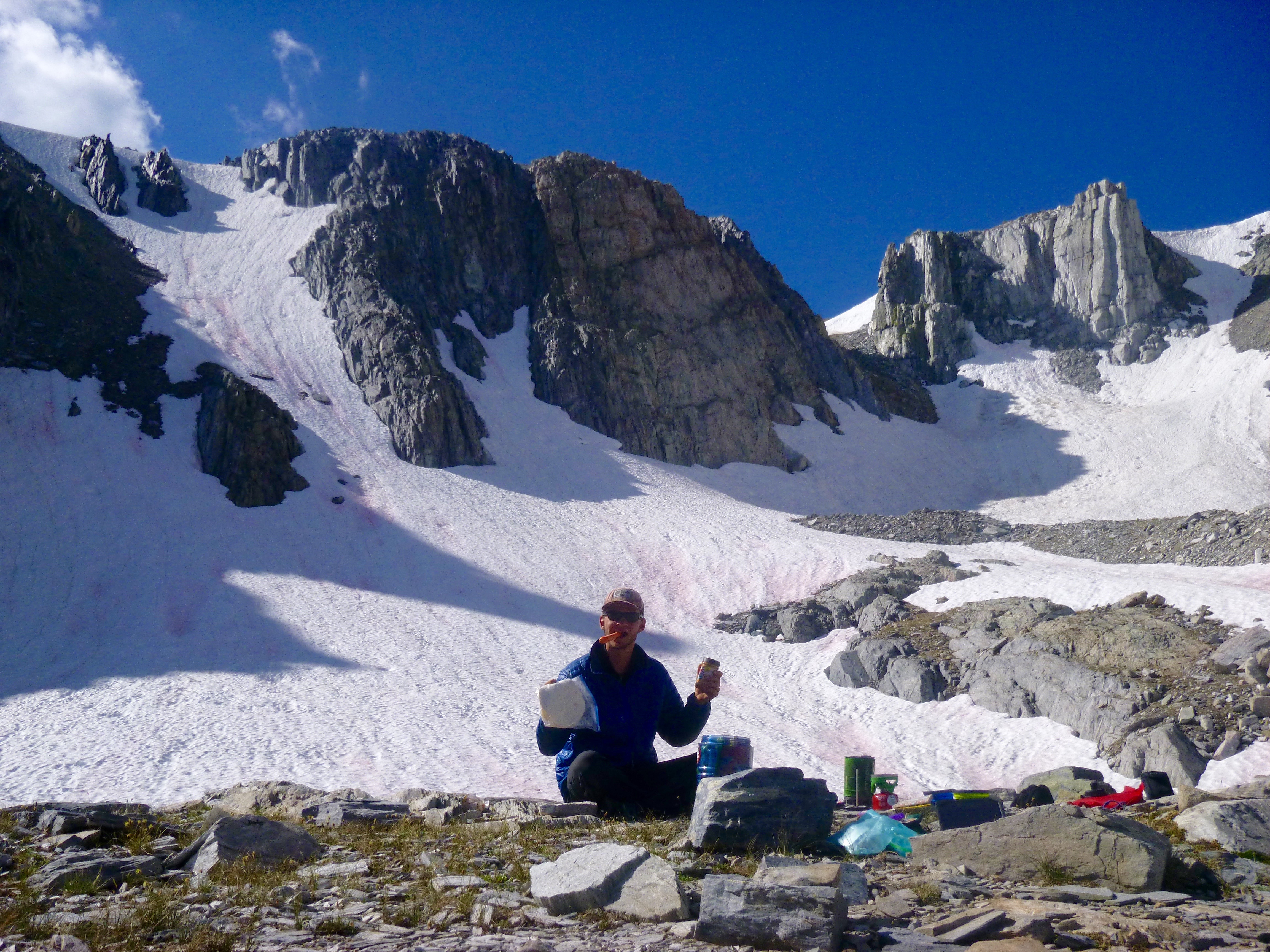
Field assistant Ray Eckland preps the peanut-butter tortilla wraps for a big day of mapping the upper Deer Lakes basin (3,500 meters). Directly over his head is the fault dividing Cretaceous rocks (left) from Jurassic rocks (right). The fault is here expressed as a ~50-meter-wide band of mustard-colored rock (quartz-epidote-piemontite mineral assemblage).
Because Ray had hastily fled the continent to spend a semester in France, I called in my fiancée Giselle Fernandez, whose enthusiasm and curiosity for the natural world compensate for her lack of specific geologic education, to take over the role of field assistant. We hiked more than ten kilometers over snowy passes, across swollen rivers, and through thick mosquitoed groves to reach our promised land of untouched, essentially virgin geology.
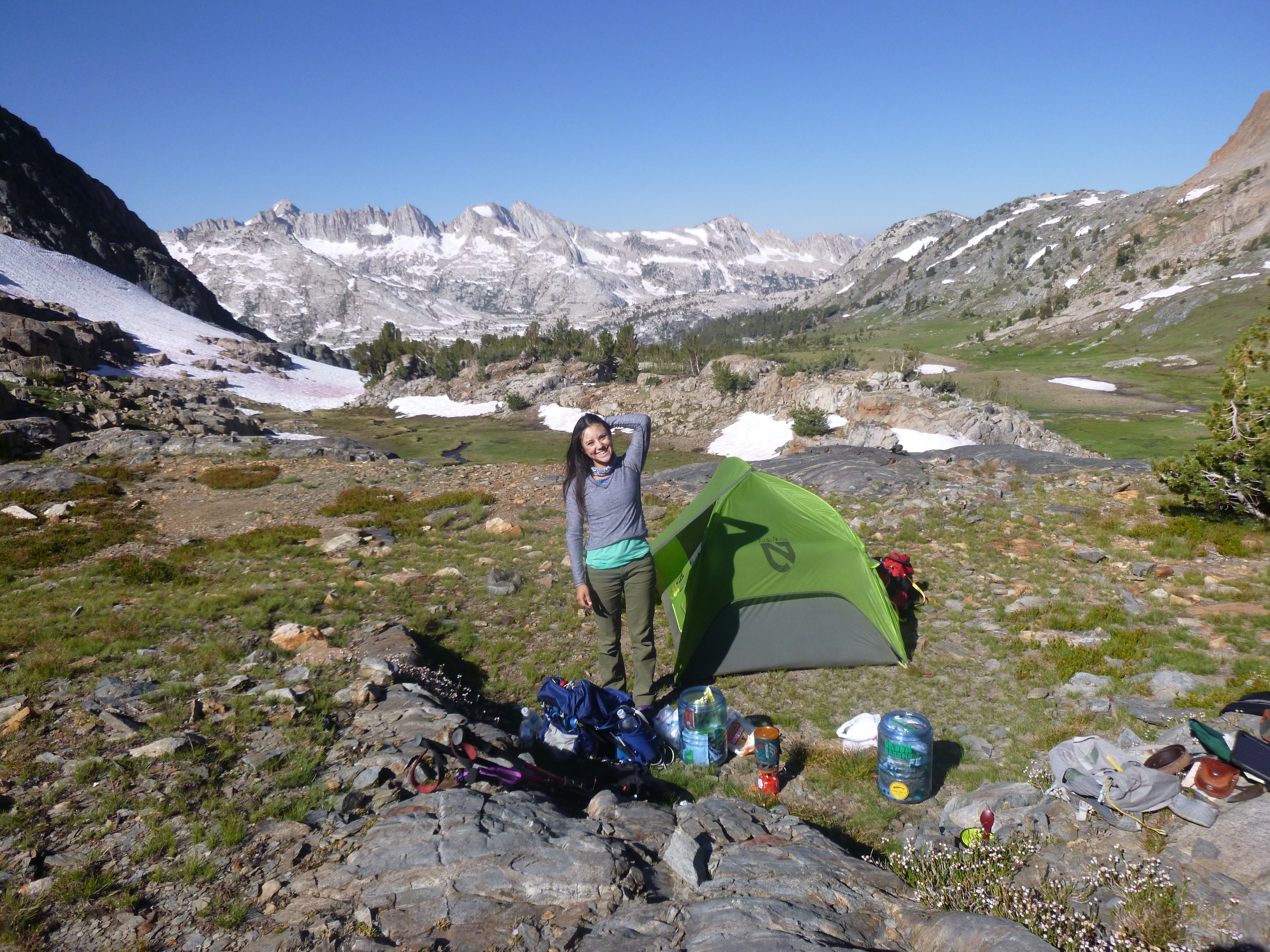
Good morning, Giselle! We pitched our tent near the base of the tuff of Skelton Lake tuff. The granite fortresses of the Silver Divide stand on the opposite (south) side of the Fish Creek valley.
Immediately upon arrival, it became quite obvious to me that this was not the Duck Lake sequence. In fact, the Duck Lake sequence was completely absent. Here, with initial confusion that gradually morphed into sheer excitement, I confidently identified our beloved tuff of Skelton Lake. Its most distinguishing characteristic is the abundance (30%) of globular quartz phenocrysts. At first glance, I was puzzled as to why its thickness here in this corner of the pendant is a mere fraction of the thickness elsewhere in the pendant. My initial thought was that we had finally encountered distal facies, and that a tapering of unit thickness may represent the furthest reaches of the outflow ignimbrite. Closer inspection would be necessary to confirm or deny this.
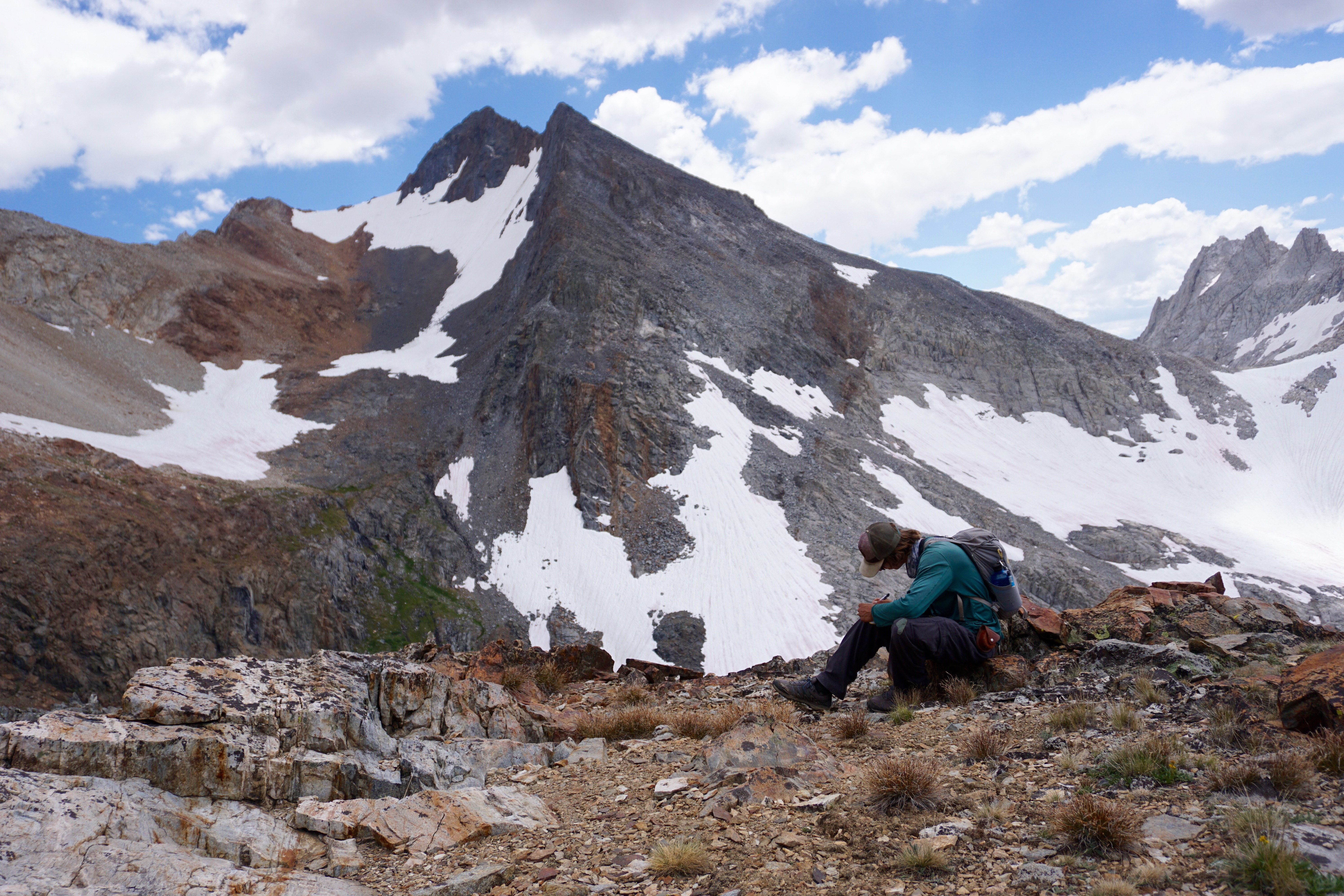
The author Derek jots down a few notes on an outcrop of tuff of Skelton Lake in the North Fork of Fish Creek area. Behind, the twin summits of Red and White Peak are made of Triassic dacite and are flanked by Paleozoic marble/slate (left) and Triassic tuff of Skelton Lake (right). (Photo: Giselle Fernandez).
The next morning, we set about mapping the basin and promptly discovered that the top of the tuff of Skelton Lake is truncated by a cryptic, bedding-parallel fault with Jurassic tuffs, hence explaining the decreased thickness here in this part of the pendant. One part of the mystery: solved! Weeks of careful field work had trained my eye for these features, which tend to confound stratigraphic observations when left undetected. Even the original surveyors failed to recognize major faults within the Mount Morrison pendant due to their subtlety. It was only after receiving the first batch of uranium-lead zircon geochronologic data (collected during the initial 2016 field season) that I realized there were faults juxtaposing the different units out of chronologic order. Armed with the newfound knowledge that faults simply had to be present in certain spots, I began the second field season with a hunt for the faults themselves. Features that previously seemed inconsequential (for example: slight angular discordance, high-strain ductile fabrics, and hydrothermal alteration bands) now served as bright red flags to identify fault zones within the pendant.
Now, in the North Fork of Fish Creek area, I recognized this particular fault as the same one cutting through the middle of the pendant, in places juxtaposing Jurassic rocks against Cretaceous and in other places, like here, juxtaposing Jurassic rocks against Triassic. Standing on glorious ridgetop with wind flowing though my shoulder-length hair, I channelled my inner Swiss geologist by tracing the fault line on my map exactly how I saw it on the glacially-polished basin below me. With glee, I noticed that it aligns perfectly with the fault I had traced in the main part of the pendant, given a slight offset that I attribute to the intrusion of the local Lee Lake mass of the Round Valley Peak Granodiorite during the Late Cretaceous period. Rest assured that the following days were spent ground-checking this fault in addition to measuring a number of 1-km-thick stratigraphic sections.
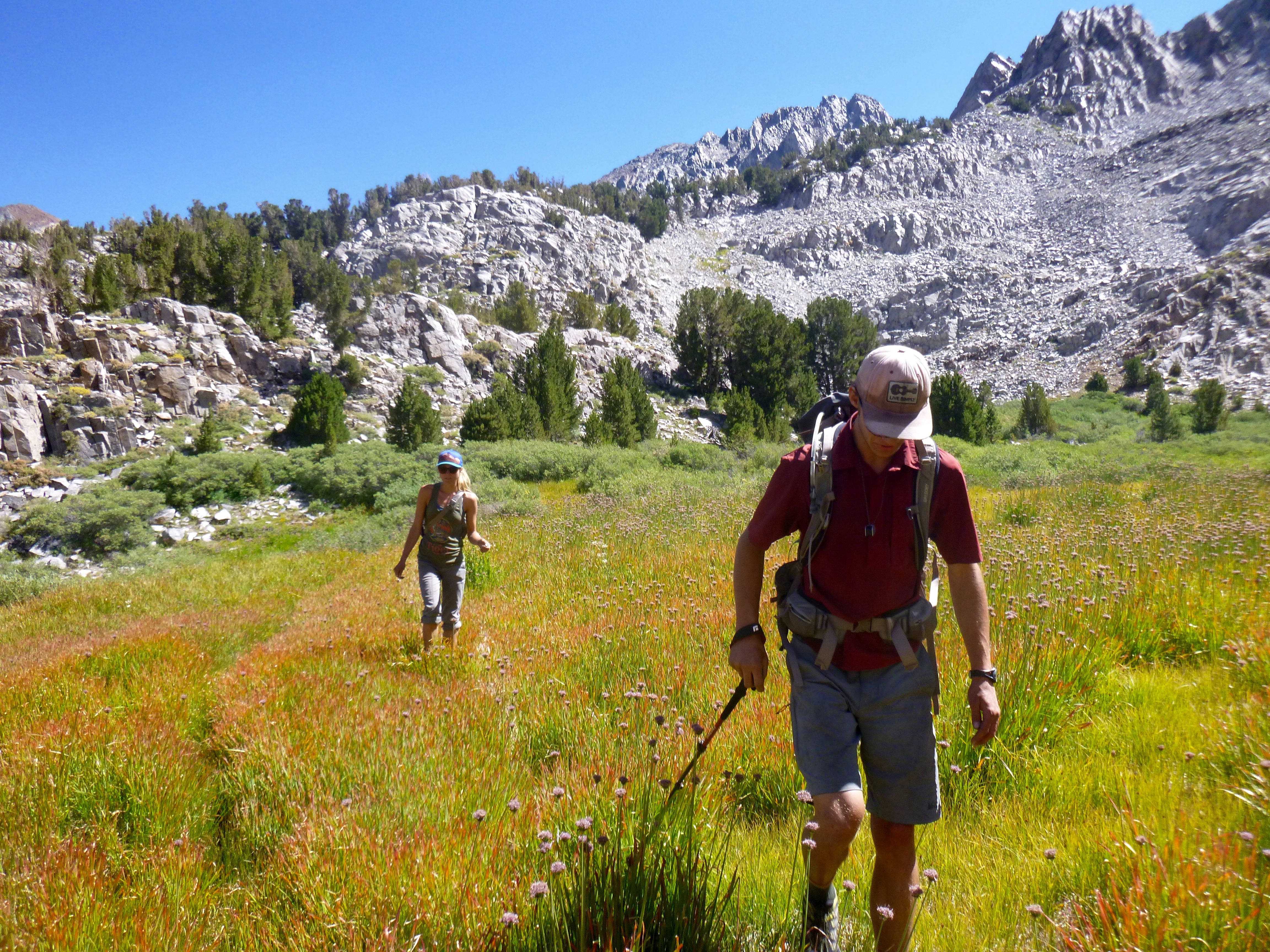
Field crew members Ray Eckland and Emma Lodes stomp through a magical field of wild onion leaving some fine outcrops (background) of tuff of Skelton Lake measured and sampled.
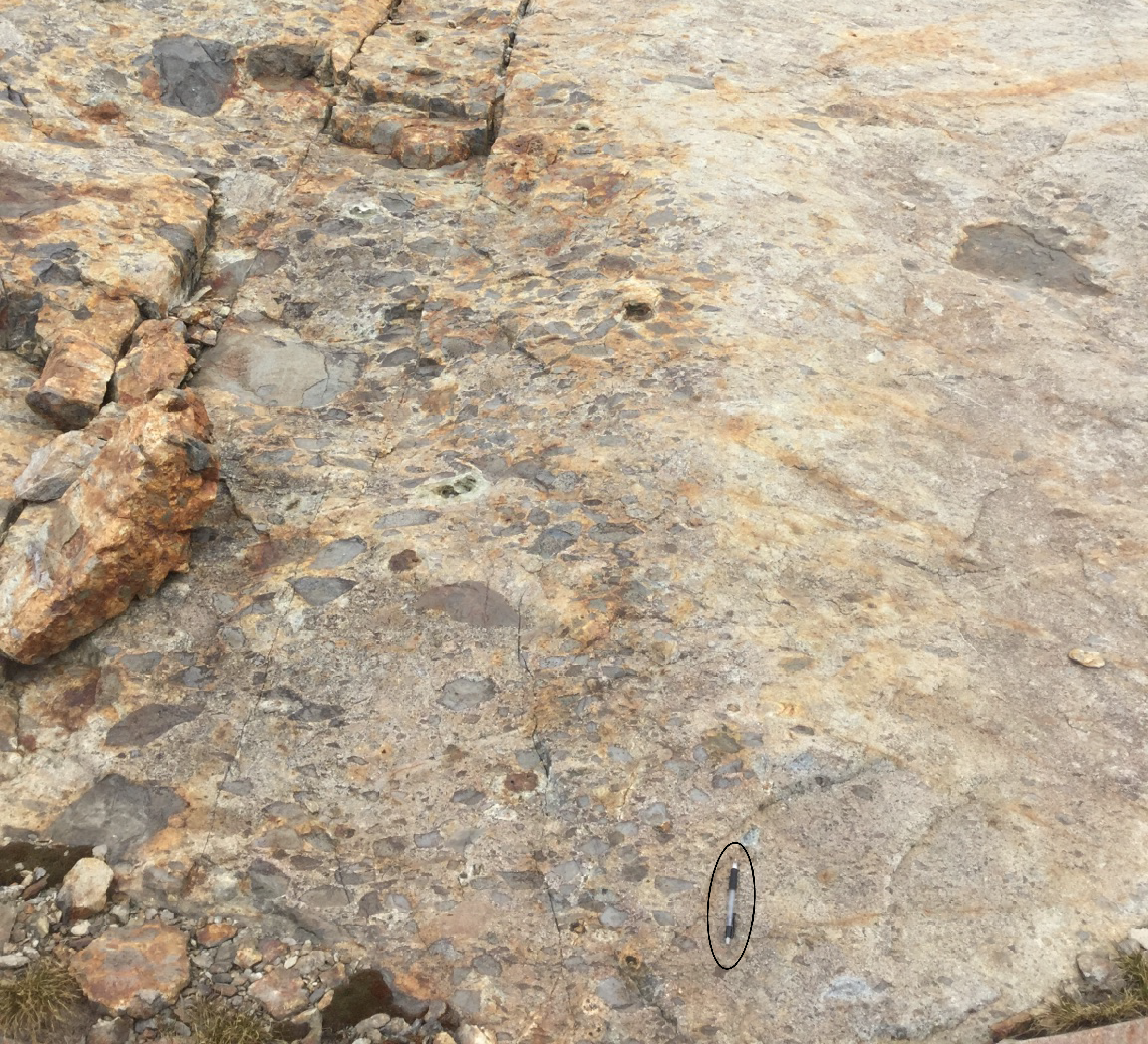
The chaotic breccia variety of the tuff of Skelton Lake exposed near Red and White Lake. Pencil is 14 cm long.
Compiling a detailed stratigraphic record of the North Fork of Fish Creek area led to the discovery we had been waiting for: that the tuff of Skelton Lake does indeed display textural variation, both laterally along strike and vertically through the stratigraphic column. Here in this basin, the typical quartz-rich rhyolite ignimbrite is intercalated with lenses of chaotic breccia. The clasts come in all sizes (up to two meters in diameter) and represent a mixture of intermediate to mafic volcanic rock types. Their angularity and extremely poorly sorted distribution indicate that they did not travel far before being entrained within the pyroclastic flow. Several months later, after compiling all relevant data and consulting with geologists from many different backgrounds, I would come to the interpretation that the breccia lenses represent fragments of the caldera walls and/or roof that collapsed into the ring vent during eruption of the tuff of Skelton Lake. The implication here is that the North Fork of Fish Creek area contains proximal vent material, and what could feasibly be part of the ring vent itself.
The author Derek lets his mind wander in a sea of tuff of Skelton Lake, at the headwaters of Fish Creek. Gorgeous colorful rocks abound in all directions! (Photo: Giselle Fernandez).
Ring vents are commonly located adjacent to, but still inside, the caldera margin. Therefore, the presence of proximal vent material indicates that we had been working inside the caldera, and not outside it as we had previously assumed. The fact that the tuff of Skelton Lake was so thick and boring could now be explained on the basis of it being an intra-caldera ignimbrite. Sure enough, characteristics of the tuff of Skelton Lake correspond well with younger intra-caldera ignimbrites in Nevada and Colorado. I calculated the total estimated volume of Skelton Lake tuff at ~200 km3, which is within the accepted range for the volume of an intra-caldera ignimbrite.
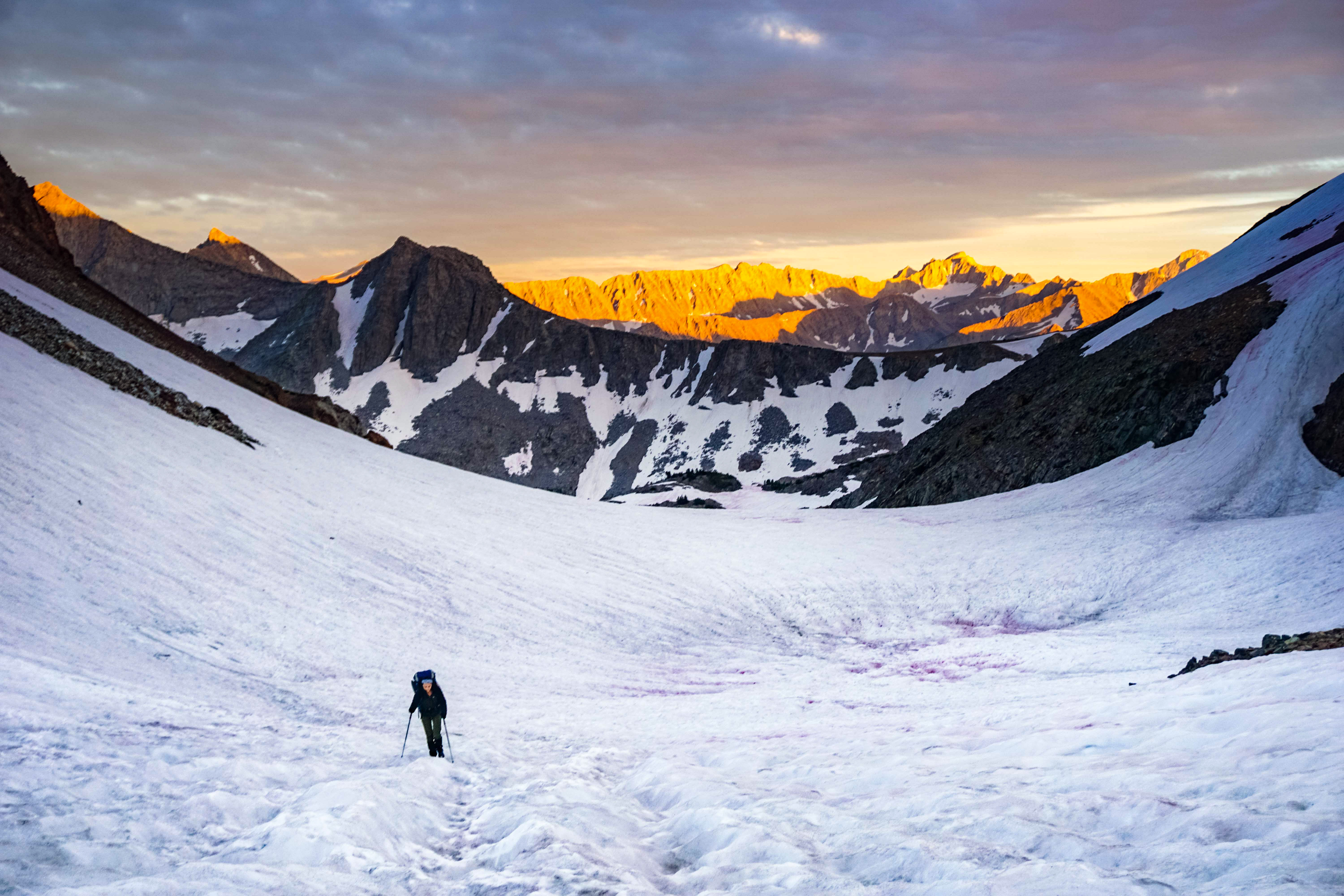
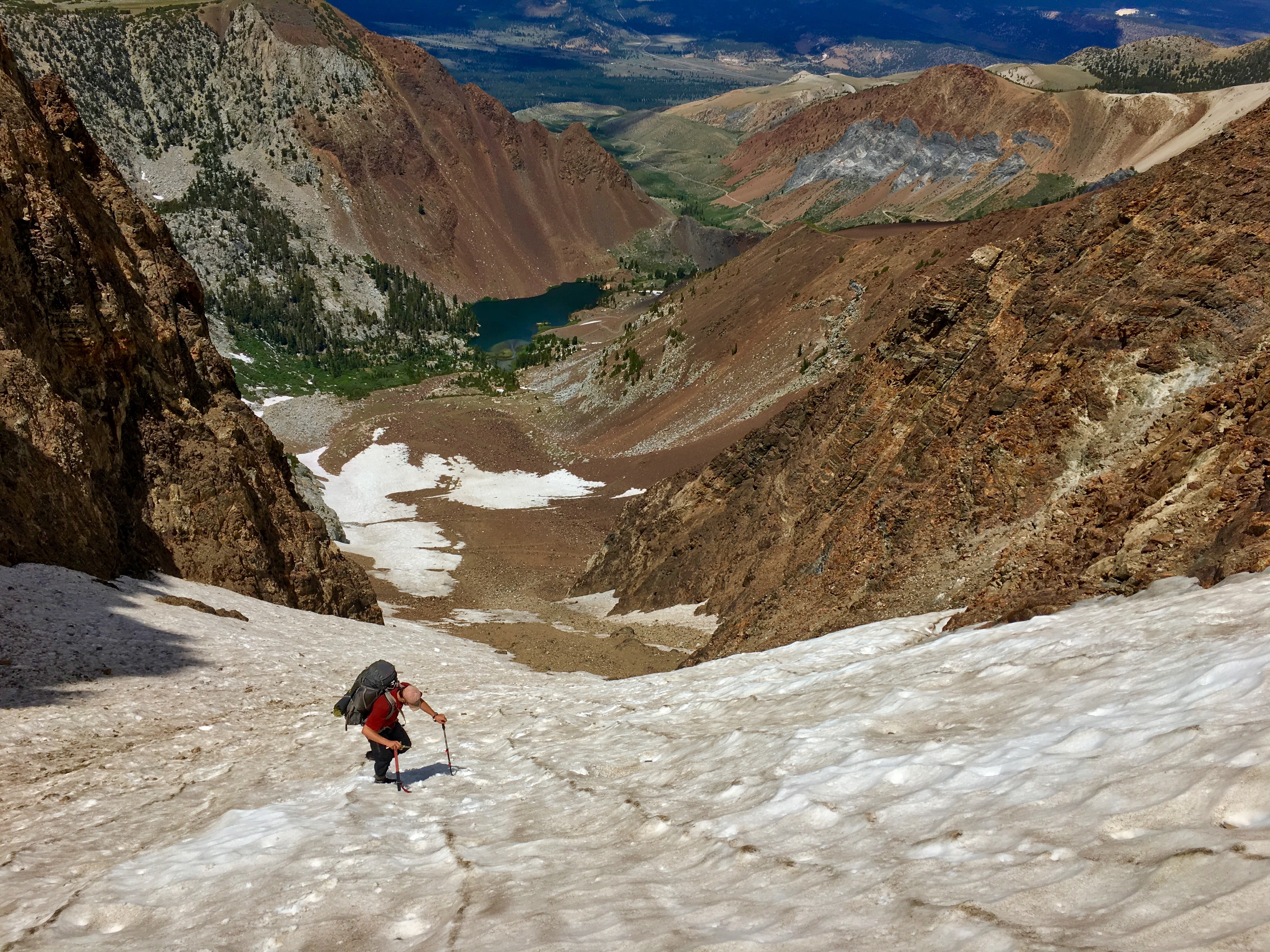
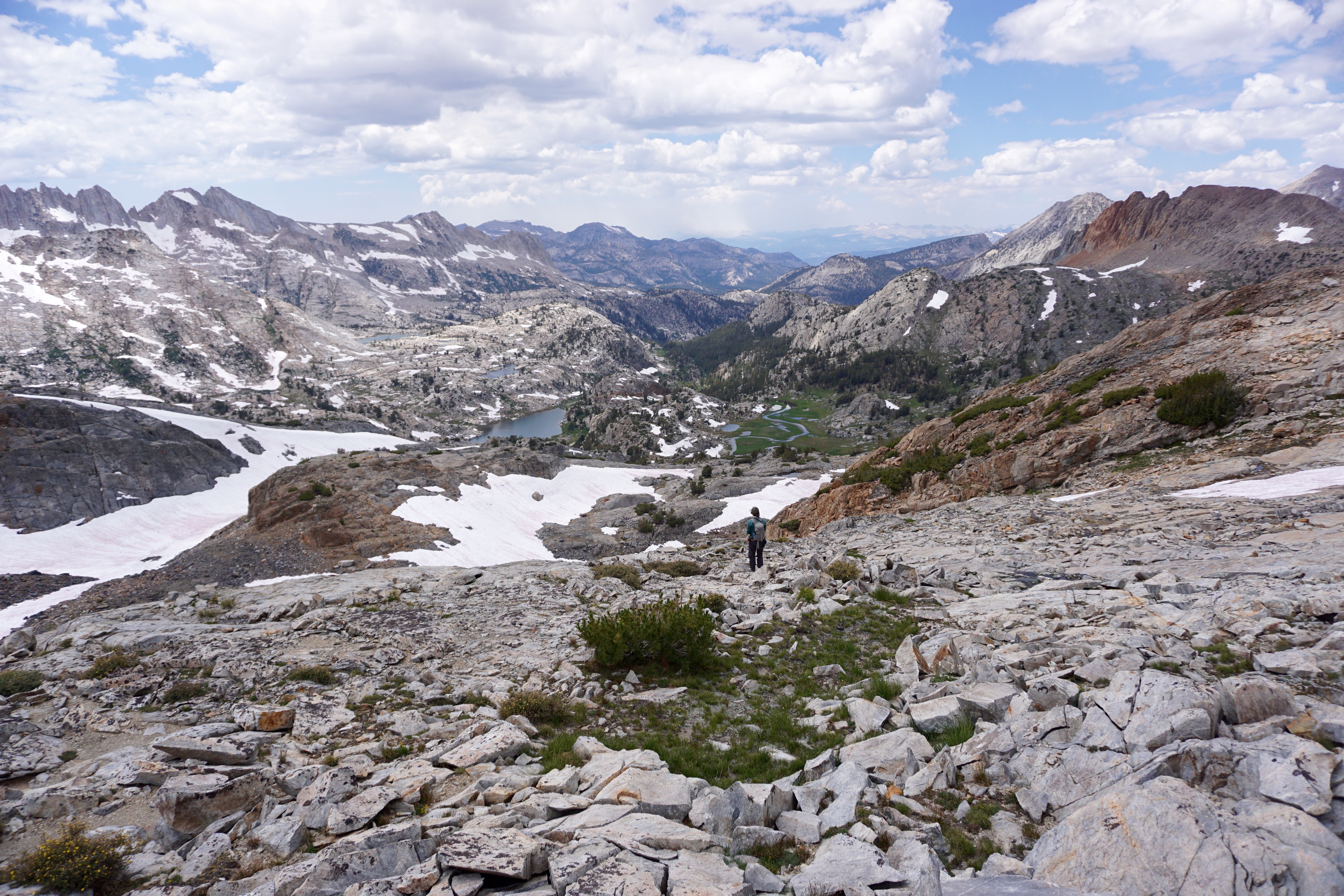
Field assistant Giselle Fernandez trudges up a lingering August snowfield at ~3,500 meters on the north side of McGee Pass. The closest access to Mesozoic rocks in the North Fork of Fish Creek area involves a full day of foot travel over terrain like this. It’s no wonder the original 1959 USGS survey left the area unmapped.
Finding such critical and exciting geologic information is a due reward for our efforts accessing such remote, rugged countryside. Sometimes it works out like this, and other times you go through all the trouble only to get nothing in return. But weeks of scientific nothings can be erased by finding the special something that you needed all along. Or better yet, you find that the nothings were somethings after all.
![]() This work is licensed under a Creative Commons Attribution-NonCommercial-ShareAlike 4.0 International License.
This work is licensed under a Creative Commons Attribution-NonCommercial-ShareAlike 4.0 International License.