Joel is a PhD candidate at the University of Reno. You can read more about his research here.
New Guinea: Indonesia and Papua New Guinea
In plan view, the mountainous island of New Guinea has been referred to as a bird flying west. This allows for the distinction of three geographical regions: the Bird’s Head (see earlier post by Lloyd White) known politically as West Papua (Indonesia), the Bird’s Body, which is divided into Papua (Indonesia) in the west and the independent country of Papua New Guinea (PNG) in the east, and the Bird’s Tail of eastern PNG (Figure 1).
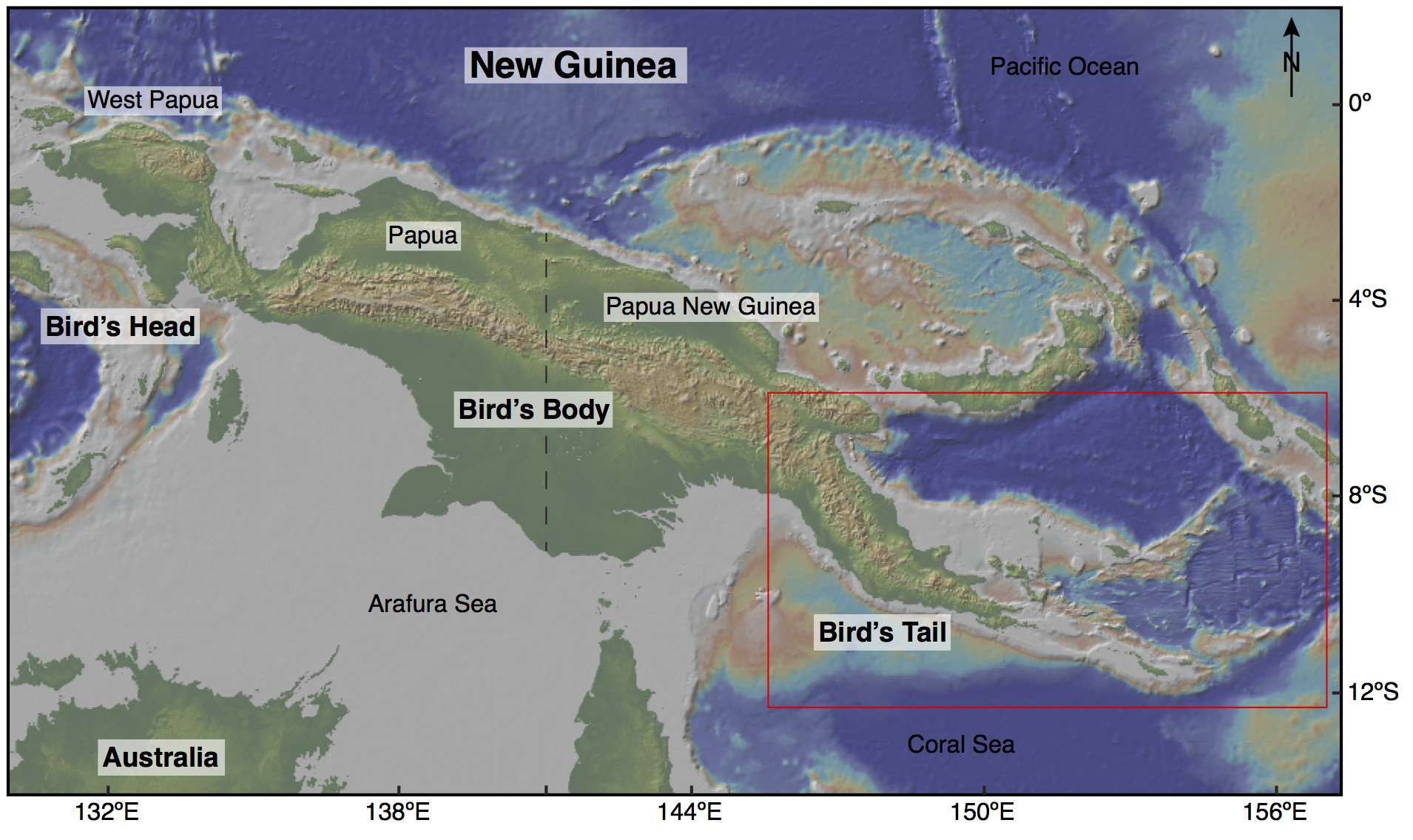
Figure 1. Map of New Guinea and northern Australia showing topography and bathymetry obtained from GeoMapApp (http://www.geomapapp.org; Ryan et al., 2009). The red outlined area marks location of Figure 2 in eastern PNG.
The Bird’s Tail region is an active tectonic setting represented by crustal block rotations (see Wallace et al., 2014) and the Woodlark Rift, a seafloor spreading center that transitions westward into a continental rift where the world’s youngest known ultrahigh-pressure (UHP) rocks are being exhumed (Figure 2). Numerous workers have applied field mapping, structural, geo- and thermochronological, petrological, seismic, and geodetic studies to better constrain the evolution of these rare Pliocene UHP rocks from mantle depths to their current position within an east–west series of gneiss domes exposed in the D’Entrecasteaux Islands (Figure 3).
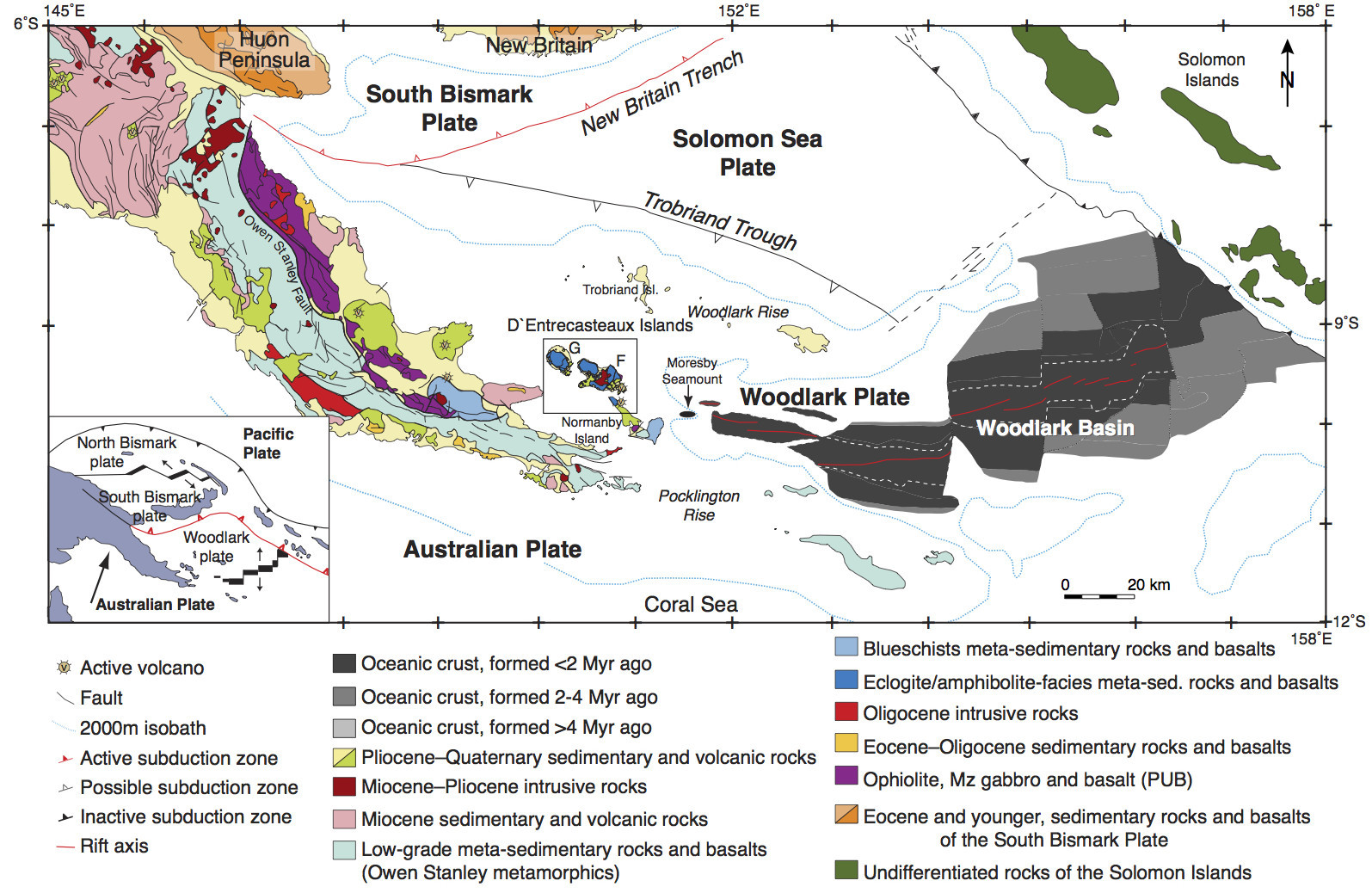
Figure 2. Simplified geologic map of eastern Papua New Guinea showing the major structures and rock types (after Baldwin et al., 2004). The area outlined indicates the location of the D’Entrecasteaux Islands (represented in Figure 3) west of the Woodlark Rift. The lower left inset (after Wallace et al., 2004) shows the plate-tectonic setting of the region.
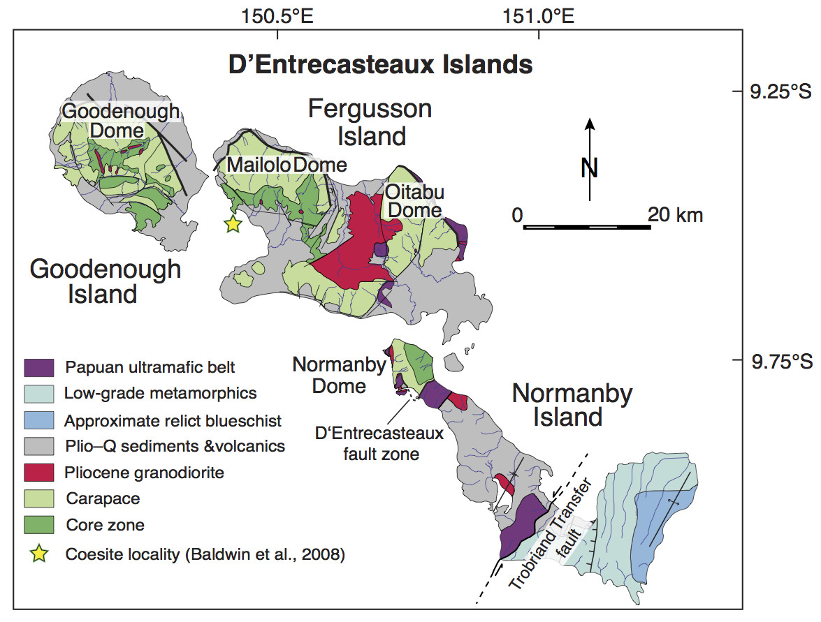
Figure 3. Simplified geological map of the D’Entrecasteaux Islands gneiss domes (after Davies, 1973; Hill, 1994; Little et al., 2007).
Brief geologic setting
The Paleogene Papuan Orogen, now exposed on the Papuan mainland, formed after the northern, rifted continental margin of the Australian plate collided with an island arc terrane to the northeast (Davies and Jacques, 1984; Cloos et al., 2005; Little et al., 2011). This collision caused southwestward obduction of the arc basement, now referred to as the Papuan Ultramafic Belt (PUB), above a deformed wedge of the Australian plate along the Owen Stanley Fault (Figure 2). The more deeply subducted Australian plate is interpreted as the protolith of the PNG (U)HP terrane within the D’Entrecasteaux Islands (Figure 3). The D’Entrecasteaux Islands (Goodenough, Fergusson, and Normanby Islands) lie along strike of the westward-propagating Woodlark Basin oceanic spreading center. The lower plate domal structures consist of quartzofeldspathic gneiss, with lesser amounts of mafic rocks (eclogite and amphibolite), and minor marbles, quartzites, and paragneiss (Figure 3) (Davies and Warren, 1988; Little et al., 2011). Active faults bound the northern portions of some of the domes, and they crosscut an older structure, the D’Entrecasteaux fault zone, which preserves portions of the upper plate PUB. This structure is the boundary between the lower and upper plate rocks across the islands and is correlated with the Owen Stanley fault zone along which obduction of the PUB occurred in the Paleogene (Little et al., 2011). Structurally, the lower plate of the domes consists of an outer carapace and inner core zone (Hill, 1994). A strong planar fabric preserved in the carapace gives way to a more chaotic fabric in the core zone. Evidence for melting occurs in both zones; however, the percentage of leucosomes and dikes increases from the carapace to the structurally deepest exposures of the core zone (Gordon et al., 2012).
My advisor, Stacia Gordon, and I have been focusing on the timing of the eclogite-facies metamorphic event and the subsequent exhumation-related melt crystallization events through high-precision U-Pb zircon isotope-dilution thermal ionization mass spectrometry (ID-TIMS) and trace-element analysis (see Gordon et al., 2012 and DesOrmeau et al., 2014). In addition, we have been assessing the pressure and temperature conditions of the eclogite-facies metamorphism through electron microprobe analysis and pseudosection modeling. Work thus far has been in close collaboration with Tim Little (Victoria University of Wellington, New Zealand), Sam Bowring (MIT), Laura Wallace (UT-Austin), Susan Ellis (GNS Science, New Zealand), and Hugh Davies (University of Papua New Guinea).
Field work in eastern PNG
In June of 2012, I was able to travel to the D’Entrecasteaux Islands with my advisor (Stacia), Laura Wallace, and Tim Little. Upon arrival in East Cape, the easternmost point on the PNG mainland, we set off for the D’Entrecasteaux Islands on the Sara Lee with captain Sam, the crew, and a group of geodesists led by Laura. The trip was a logistical success, meaning the geologists did not get stranded on the islands for more than three extra days at a time. I’ll point out that the satellite phone, our only communication with the boat, was a much better time sink than a safety device.
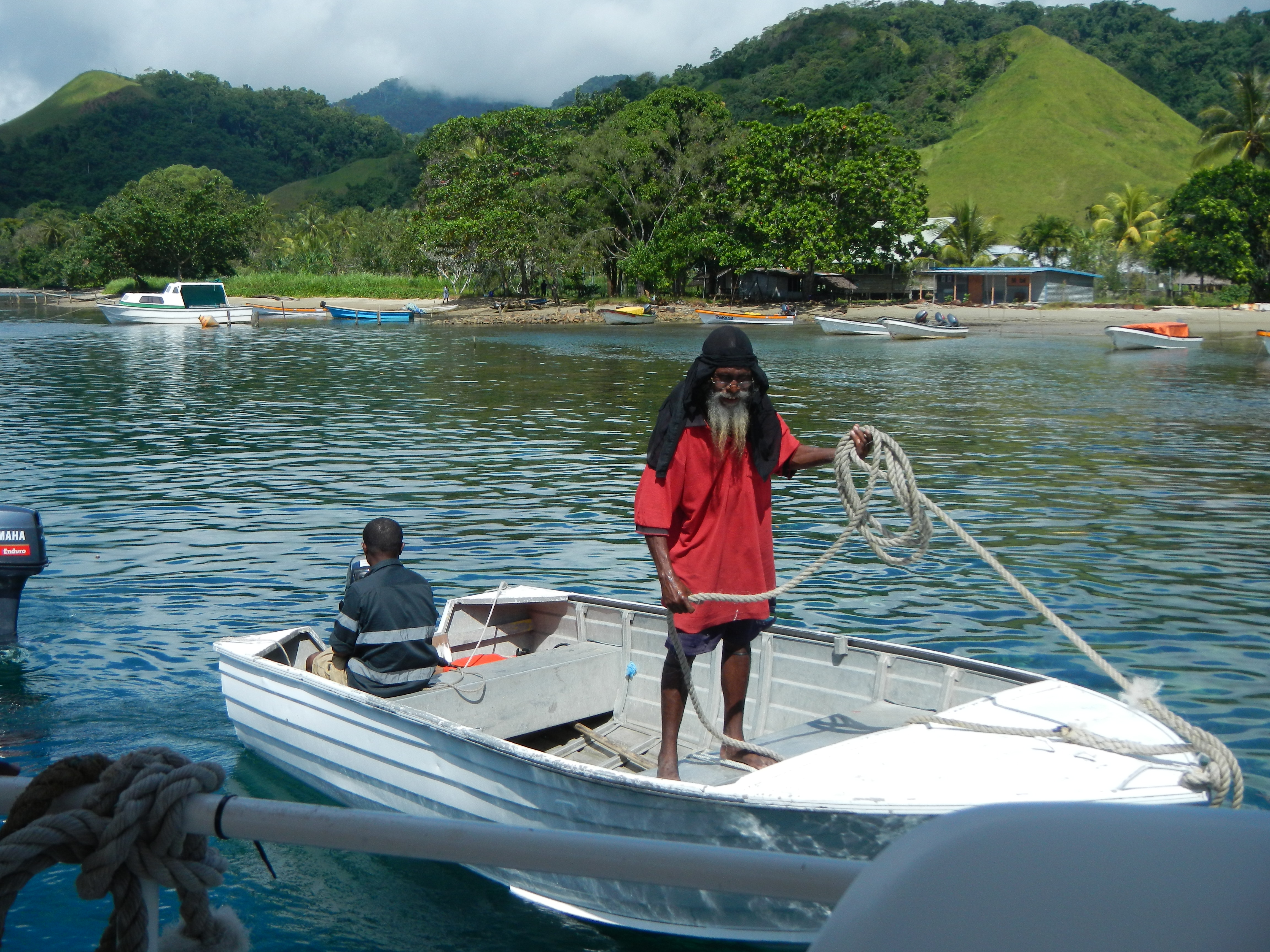
Figure 4. Captain Sam and Mark moving the dinghy, Esa’ala, Normanby Island.
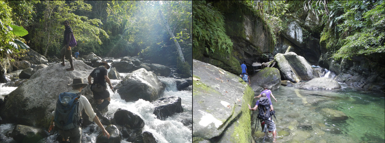
Figure 5. Left: Stacia Gordon, Tim Little, and Brian (guide) making their way up a tributary of the Fakwaoia River, Goodenough Island. Right: Traversing the Basuenoia River, Oitabu Dome, Fergusson Island.
Our typical approach to conducting field work on the islands was to have the boat drop us off at a drainage of interest, and from there we found the leader of the village to attempt to gain permission to depart from their ward in search of good outcrop. In previous field seasons, it was not difficult to gain access. As the local villages begin to encounter an increasing number of visitors (more or less all researchers), the task of convincing upwards of 75 people that we are only on the islands to sample the rocks for research, and not for monetary purposes, becomes more interesting. With that being said, the locals we encountered were fantastic and instrumental in completing a successful field season. As is the case with most densely vegetated field areas, fresh exposures are restricted to river drainages. We typically had 8–10 men accompany us up the rivers to help us carry our supplies, rock samples, and clear camping sites.
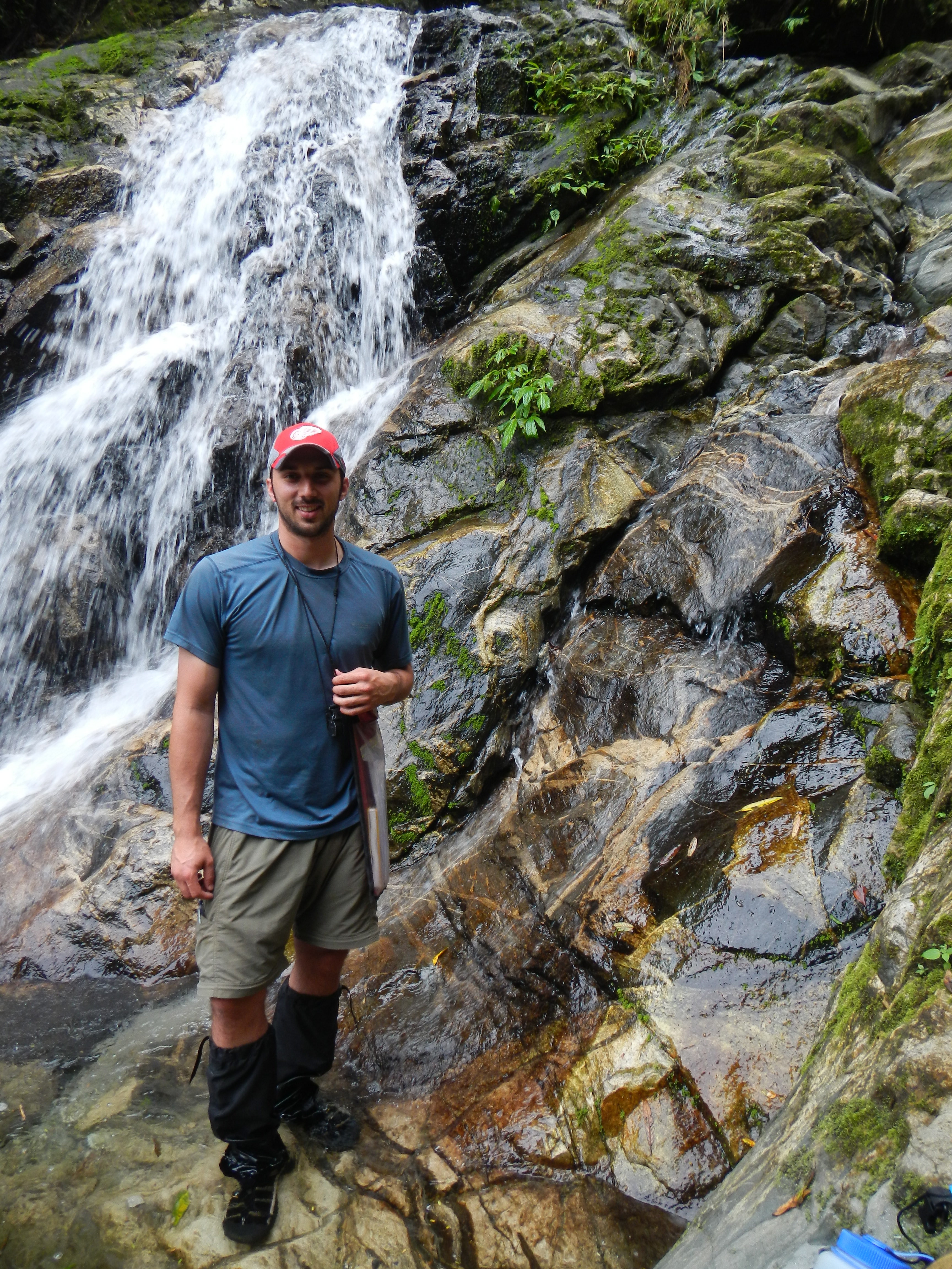
Figure 6. Myself posing near one of the many waterfalls we encountered, Fakwaoia River, Goodenough Island.
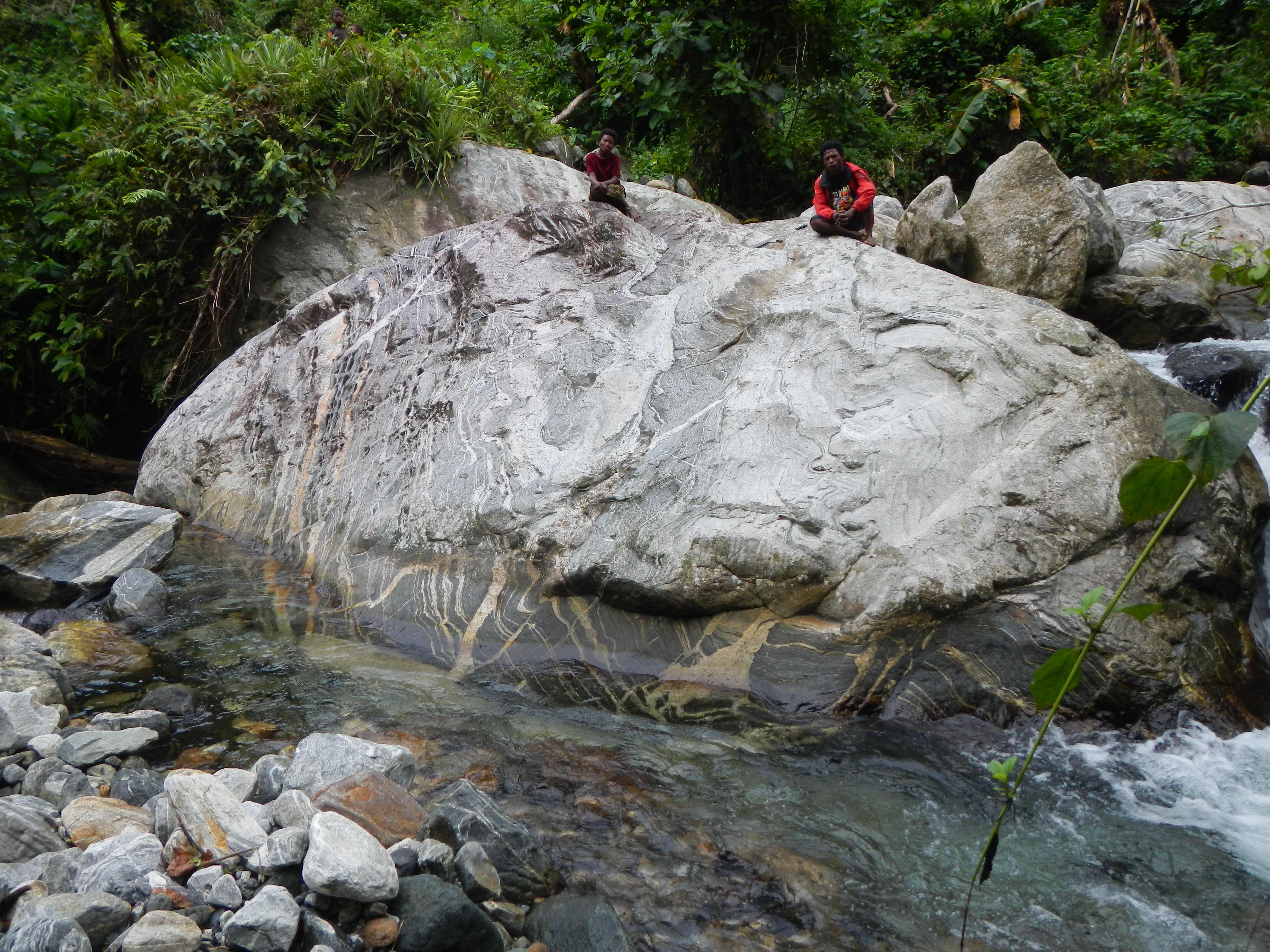
Figure 7. Quartzofeldspathic host gneiss of the core zone exposed along the Fakwaoia River, Goodenough Island. Note the chaotic foliation and abundant crystallized melt.
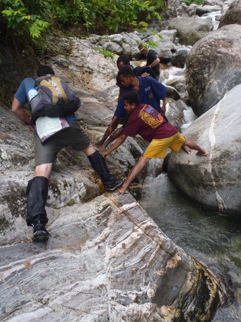
Figure 8. Guides providing a foot along the slippery migmatitic host gneiss.
Traveling up the rivers was no easy task. We relied on our guides to provide a helping hand, foot, or occasional rescue from taking a plunge in the river. To top it off, we were treated with shrimp and eel from the river, countless bananas and coconuts, and root vegetables at nearly every village we passed. We even had an offering of wallaby that none of us were inclined to try. At one point during the trip, while waiting for the Sara Lee to return from far off GPS localities, one of our guides, Ronald, was kind enough to invite us to stay at his family’s home. Typically, we stayed in the school of the village when we were at the start or end of a trek. As I stated earlier, the brutal tasks of forging through the slick rocks and swift waters and collecting samples along an ~8 day trek would not have been possible without the help of our local guides.
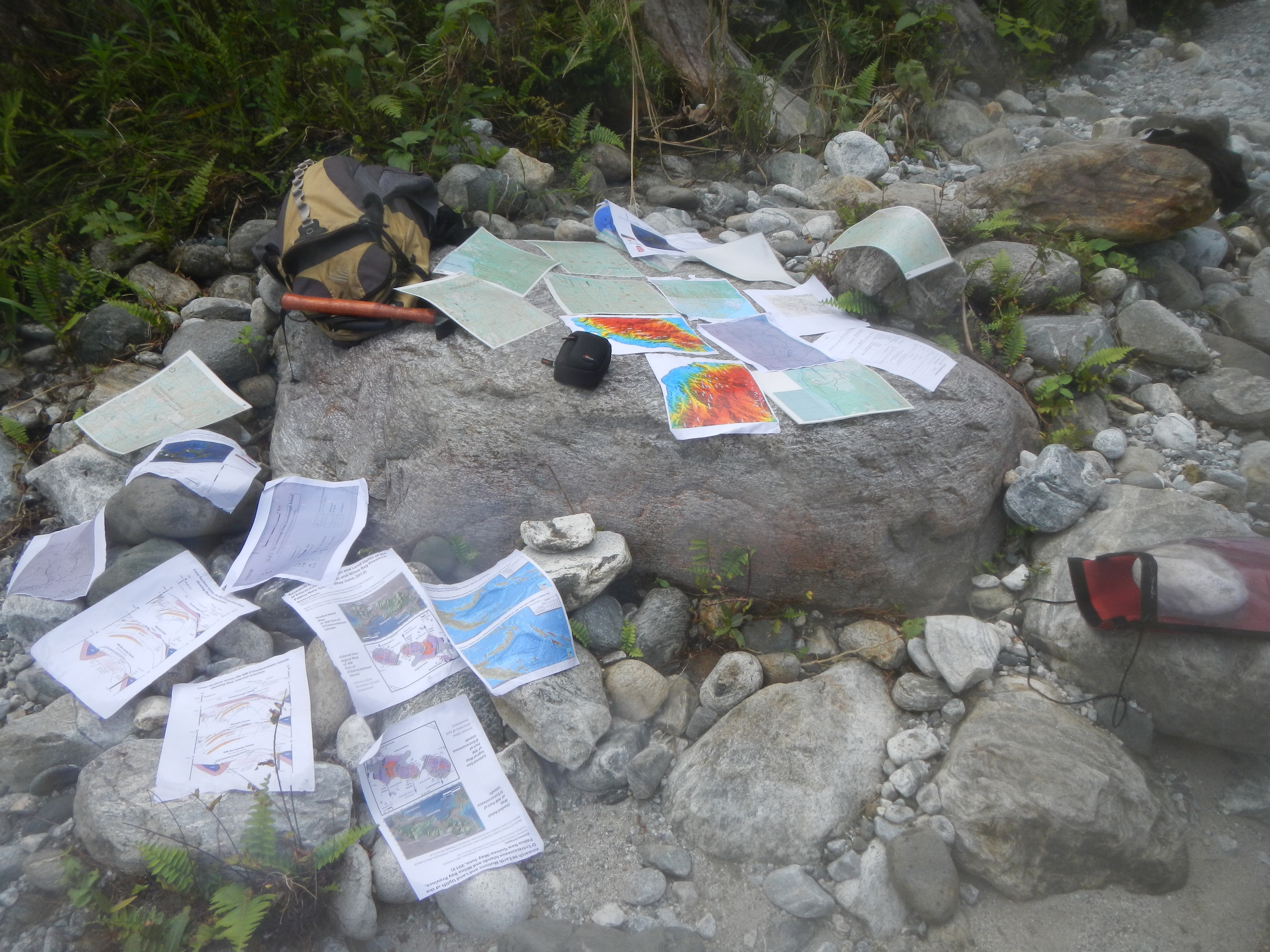
Figure 9. Attempting to dry maps and handouts after I went for an unexpected swim.
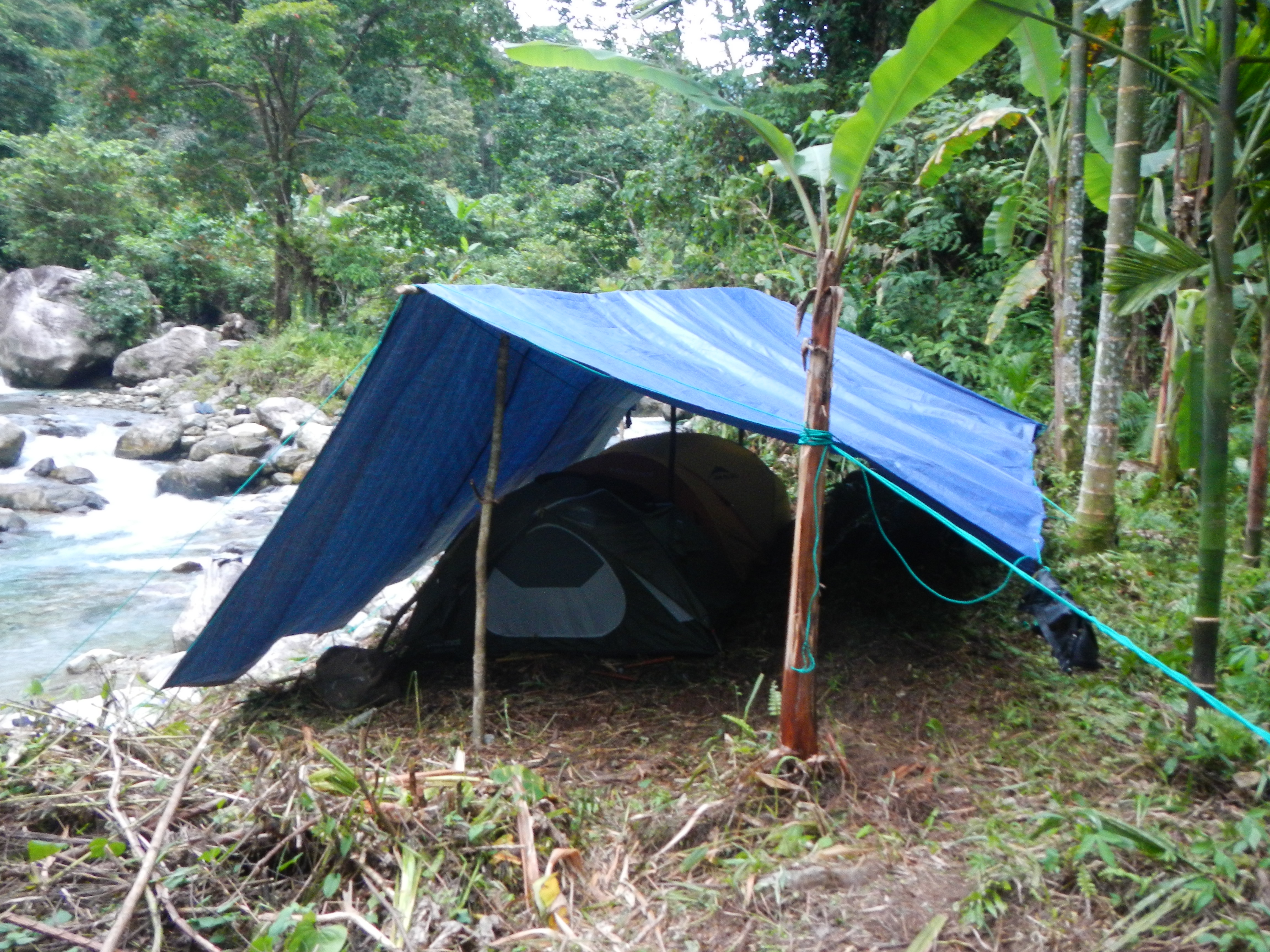
Figure 10. Camp along the Fakwaoia River deep in the core zone of Goodenough Dome.
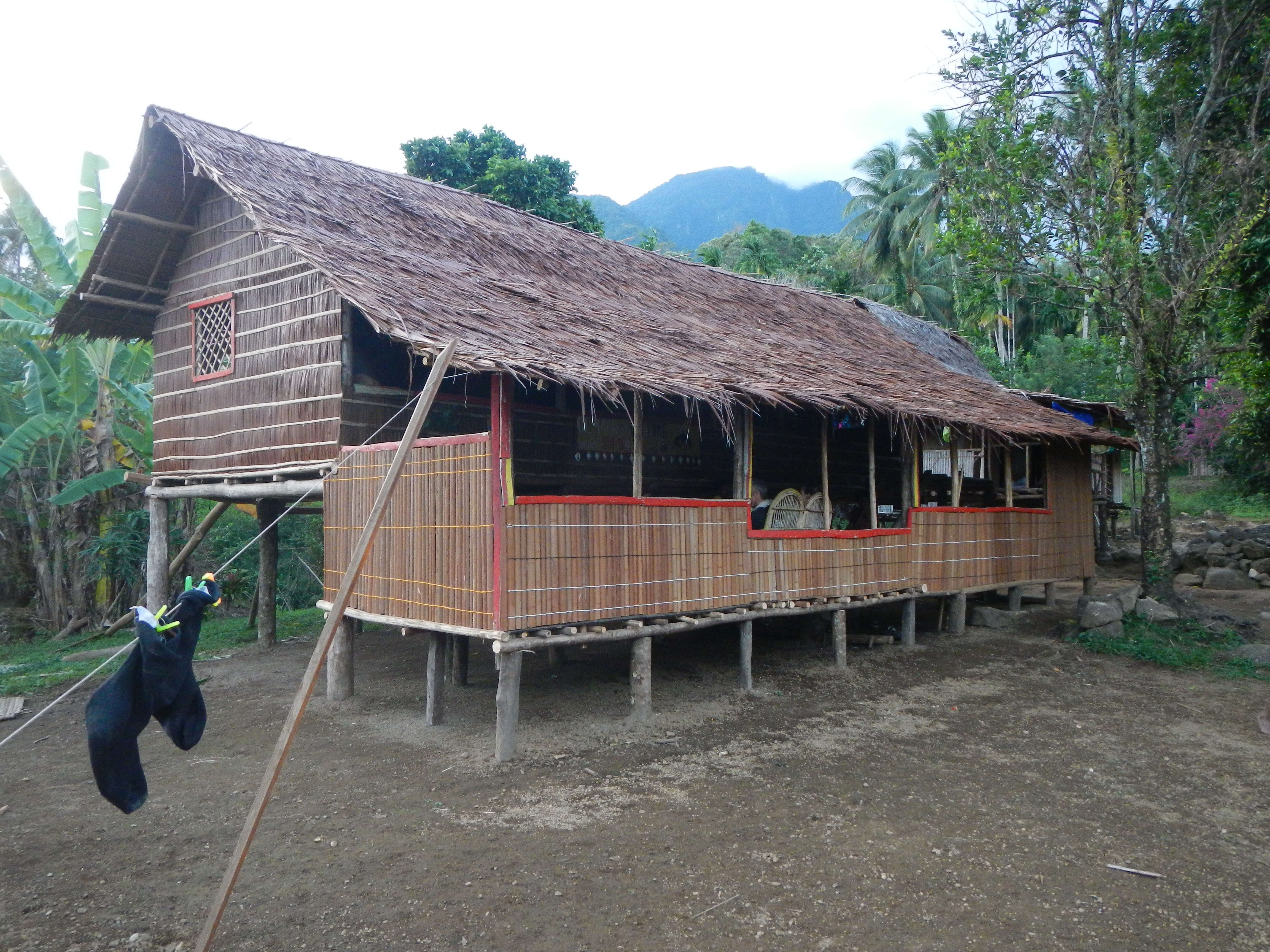
Figure 11. Our guide Ronald’s place on Goodenough Island.
Boat life
The Sara Lee provided all of our transportation needs for the month at sea. In between treks, we slowly made our way around the islands. This provided multiple opportunities to catch Spanish Mackerel and reef squid, snorkel, spot dolphin pods, and visit tiny village markets. It was common for villagers to visit the boat by canoe to sell their fresh vegetables. All of this made for some fantastic meals prepared by chef Tim and Laura. If I had a chance to return, I would go in a heartbeat. I’ve nearly forgotten about the malaria that I came down with five months after the visit. The sunsets alone are enough to draw me back.
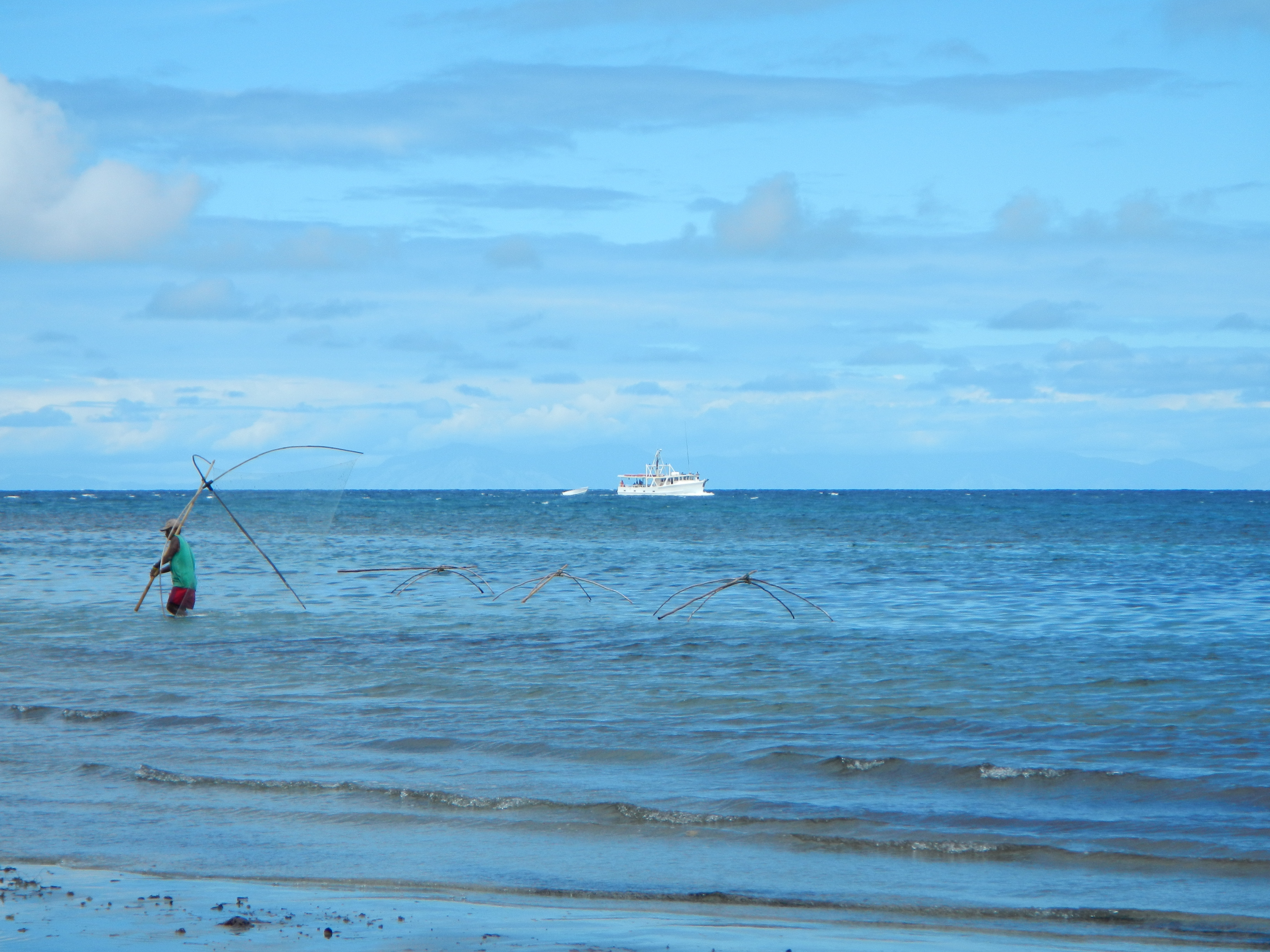
Figure 12. Arrival of the Sara Lee with a local fisherman maneuvering his nets.
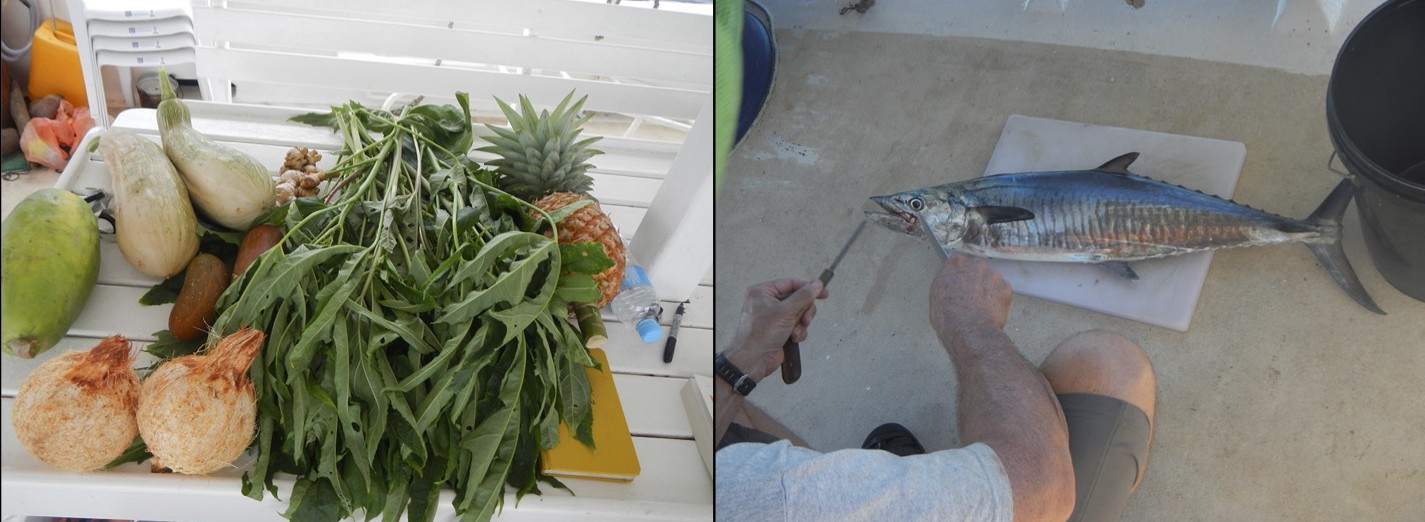
Figure 13. Fresh goods from the local market. Tim preparing sushi.
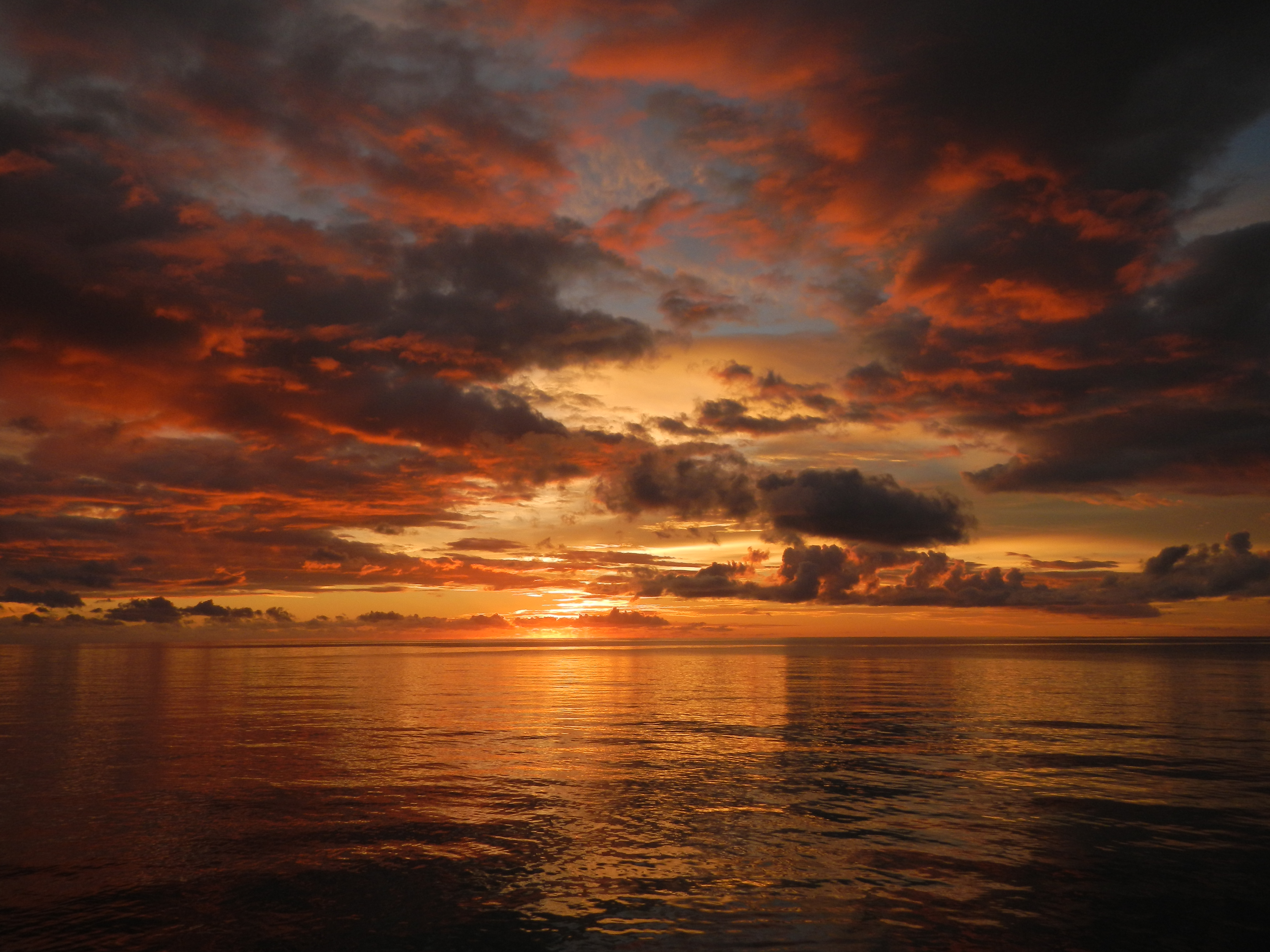
Figure 14. Sunset aboard the Sara Lee.
References:
Baldwin, S. L., B. Monteleone, L. E. Webb, P. G. Fitzgerald, M. Grove, and E. J. Hill (2004), Pliocene eclogite exhumation at plate tectonic rates in eastern Papua New Guinea, Nature, 431, 263–267, doi:10.1038/nature02846.
Baldwin, S. L., L. E. Webb, and B. D. Monteleone (2008), Late Miocene coesite-eclogite exhumed in the Woodlark Rift, Geology, 36, 735–738, doi:10.1130/G25144A.1.
Cloos, M., B. Sapiie, Q. A. vanUfford, R. J. Weiland, P. Q. Warren, and T. P. McMahon (2005), Collisional delamination in New Guinea: The geotectonics of slab break-off, Spec. Pap. Geol. Soc. Am., 400, 51, doi:10.1130/2005.2400.
Davies, H. L. (1973), The Geology of Fergusson Island, 1:250,000 Geological Series, SC/56-15, in Map with Explanatory Notes, The Australian Bureau of Mineral Resources.
Davies, H. L., and A. L. Jaques (1984), Emplacement of ophiolite in Papua New Guinea, Geol. Soc. London Spec. Publ., 13, 341–350, doi:10.1144/GSL.SP.1984.013.01.27.
Davies, H. L., and R. G Warren (1988), Origin of eclogite-bearing, domed, layered metamorphic complexes (core complexes) in the D’Entrecasteaux Islands, Papua New Guinea, Tectonics, 7, 1–21, doi:10.1029/TC007i001p00001.
DesOrmeau, J. W., S. M. Gordon, T. A. Little, and S. A. Bowring (2014), Tracking the exhumation of a Pliocene (U)HP terrane: U-Pb and trace-element constraints from zircon,
D’Entrecasteaux Islands, Papua New Guinea, Geochem. Geophys. Geosyst.,15, doi:10.1002/2014GC005396.
Gordon, S. M., T. A. Little, B. R. Hacker, S. A. Bowring, S. L. Baldwin, and A. R. C. Kylander-Clark, (2012), Multi-stage exhumation of young UHP–HP rocks: Timescales of melt crystallization in the D’Entrecasteaux Islands, southeastern Papua New Guinea, Earth Planet. Sci. Lett., 351–352, 237–246, doi:10.1016/j.epsl.2012.07.014.
Hill, E. J. (1994), Geometry and kinematics of shear zones formed during continental extension in eastern Papua New Guinea, J. Struct. Geol., 16, 1093–1105, doi:10.1016/0191-8141(94)90054-X.
Little T. A., S. L. Baldwin, P. G. Fitzgerald, and B. D. Monteleone (2007), Continental rifting and metamorphic core complex formation ahead of the Woodlark spreading ridge, D’Entrecasteaux Islands, Papua New Guinea, Tectonics 26, TC1002, doi:10.1029/ 2005TC00911.
Little, T. A., B. R. Hacker, S. M. Gordon, S. L. Baldwin, P. G. Fitzgerald, S. Ellis, and M. Korchinski (2011), Diapiric exhumation of Earth’s youngest (UHP) eclogites in the gneiss domes of the D’Entrecasteaux Islands, Papua New Guinea, Tectonophysics, 510, 39–68, doi:10.1016/j.tecto.2011.06.006.
Ryan, W.B.F., S.M. Carbotte, J.O. Coplan, S. O’Hara, A. Melkonian, R. Arko, R.A. Weissel, V. Ferrini, A. Goodwillie, F. Nitsche, J. Bonczkowski, and R. Zemsky (2009), Global Multi-Resolution Topography synthesis, Geochem. Geophys. Geosyst., 10, Q03014, doi:10.1029/2008GC002332.
Wallace, L. M., C. Stevens, E. Silver, R. McCaffrey, W. Loratung, S. Hasiata, R. Stanaway, R. Curley, R. Rosa, and J. Taugaloidi (2004), GPS and seismological constraints on active tectonics and arc-continent collision in Papua New Guinea: Implications for mechanics of microplate rotations in a plate boundary zone, J. Geophys. Res., 109, B05404, doi:10.1029/2003JB002481.
Wallace, L. M., S. Ellis, T. Little, P. Tregoning, N. Palmer, R. Rosa, R. Stanaway, J. Oa, E. Nidkombu, and J. Kwazi (2014), Continental breakup and UHP rock exhumation in action: GPS results from the Woodlark Rift, Papua New Guinea, Geochem. Geophys. Geosyst., 15, 4267–4290, doi:10.1002/2014GC005458.
![]() This work is licensed under a Creative Commons Attribution-NonCommercial-ShareAlike 4.0 International License.
This work is licensed under a Creative Commons Attribution-NonCommercial-ShareAlike 4.0 International License.