Nicole Williamson is a Ph.D. candidate at the Pacific Centre for Isotope and Geochemical Research in the Department of Earth, Ocean, and Atmospheric Science, University of British Columbia. Her current research involves the geochemistry of shield stage lavas from the northernmost Hawaiian island of Kauai.
Those who have had the immense privilege to work in northern Canada know that it is a beautiful, captivating place. The stillness and intense tranquility of the landscape will both take your breath away and leave you humbled, and frankly, obsessed. Much of the geological work undertaken in the Canadian Arctic, especially by the Geological Survey of Canada, is focused on bedrock mapping and resource exploration. It was within this context that in 2010 and 2011 I had the opportunity to work in the western Arctic, on Victoria Island, Northwest Territories, as part of my Master’s project. The aim of this research was to describe and interpret the volcanic stratigraphy of the southern portion of the Natkusiak Formation flood basalts and so I spent two summers (systematically) wandering the tundra in search of a story.
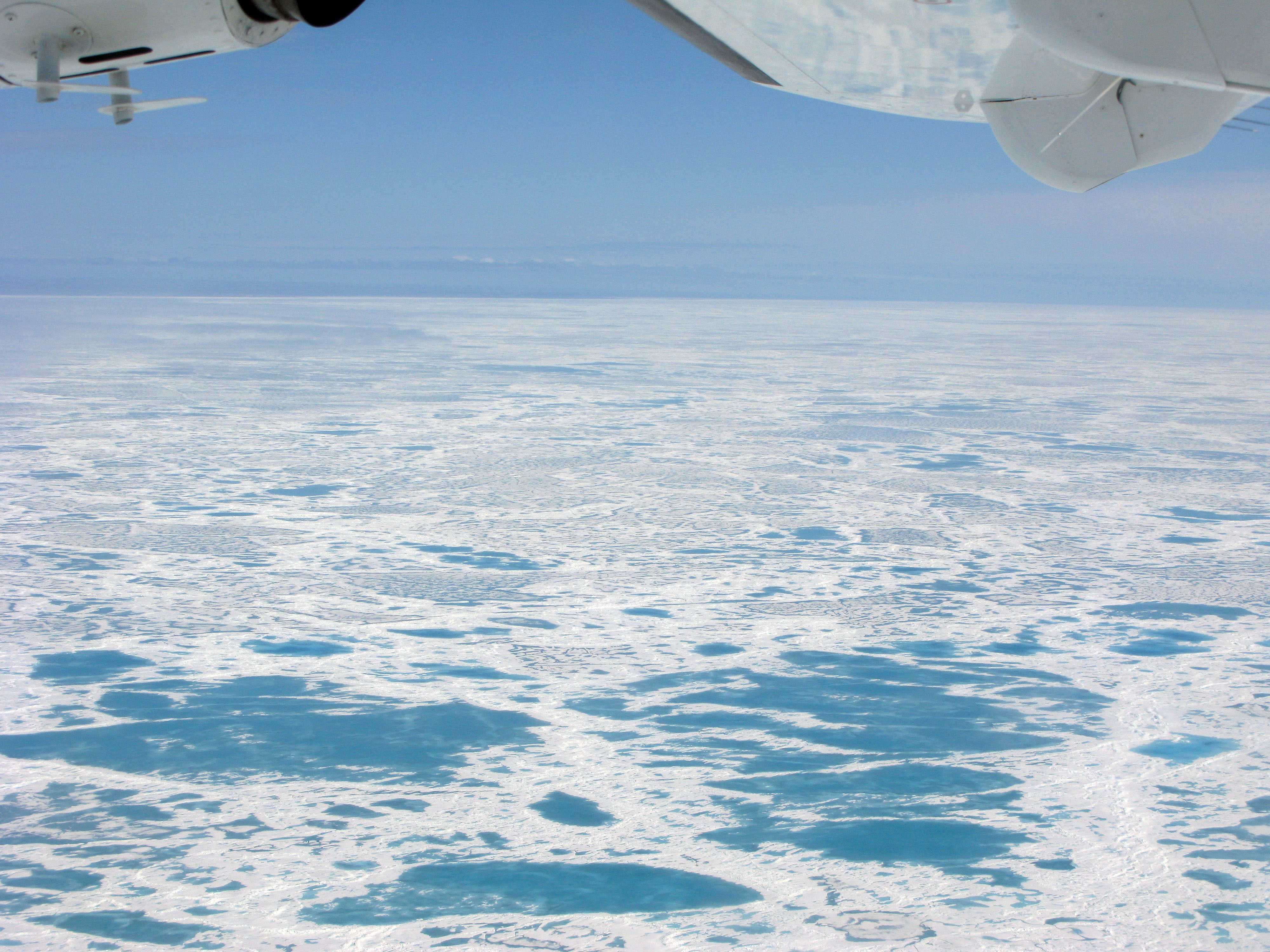
Sea ice as far as the eye can see on our way from Yellowknife to Victoria Island.
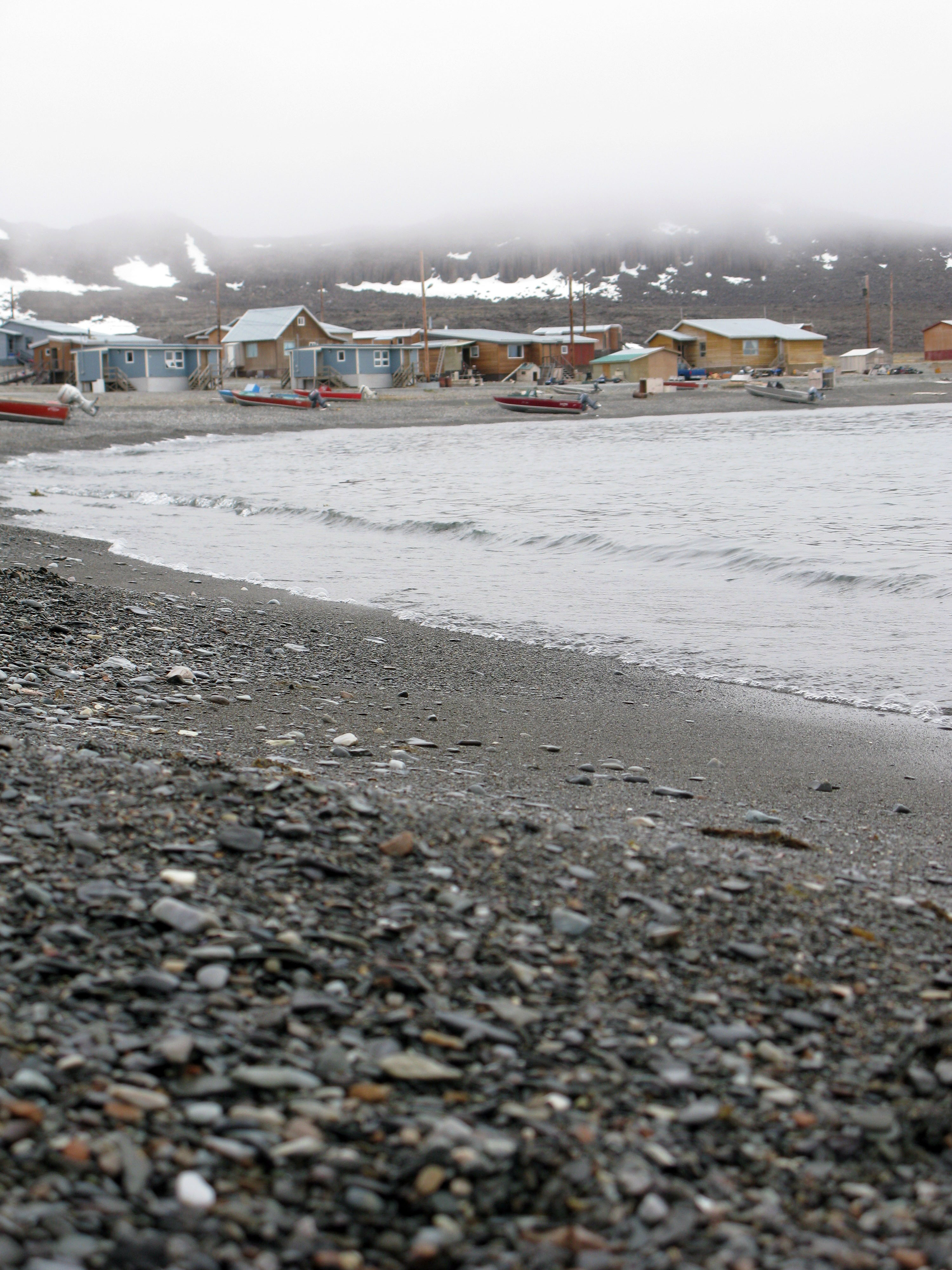
The shoreline in the town of Ulukhaktok.
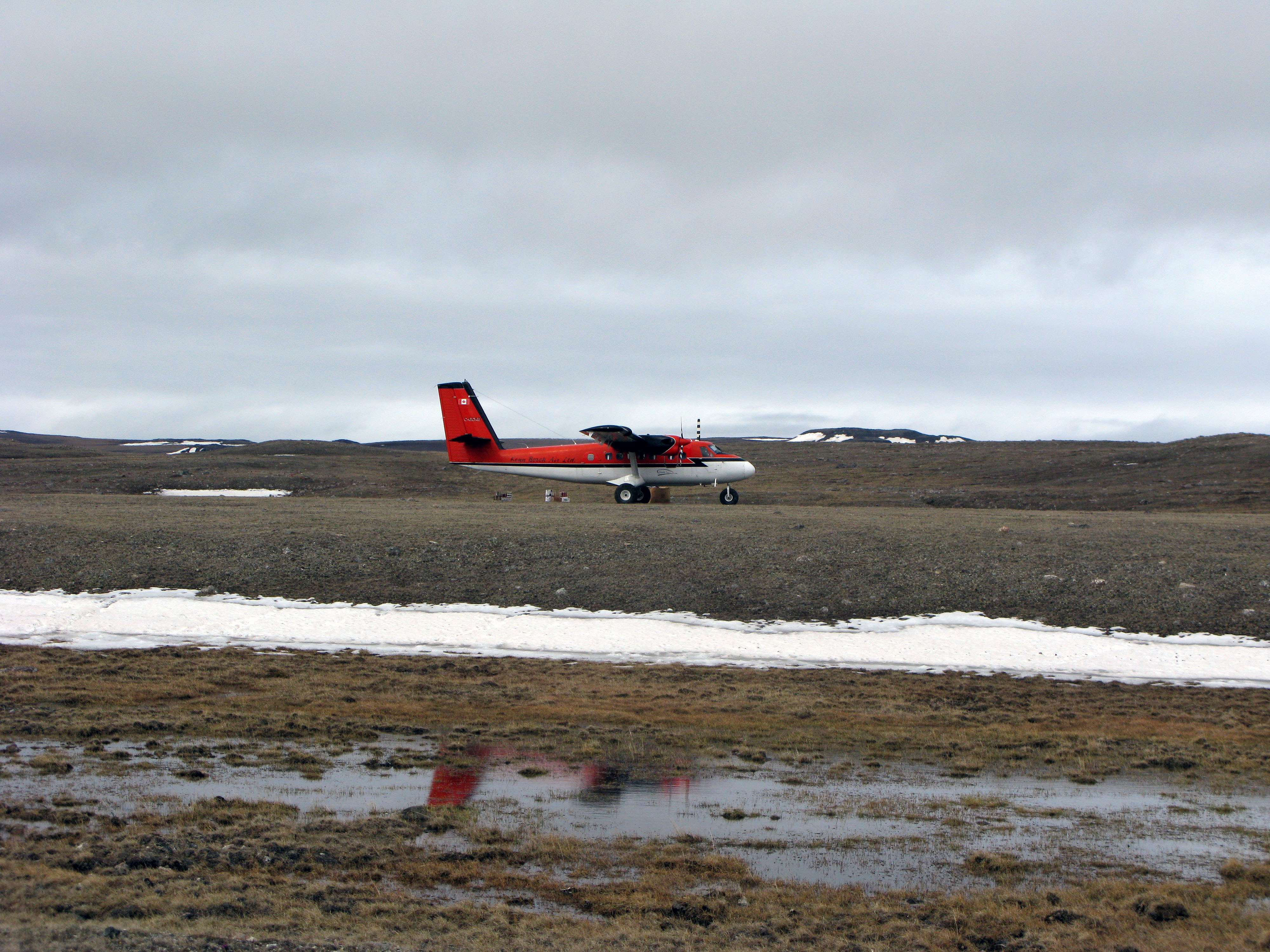
Twin Otter landing on the runway (i.e., flattest section of tundra) at basecamp.
The steep cliffs and plateaus of the Minto Inlier in northwest Victoria Island are formed by gently dipping regional Neoproterozoic sedimentary and volcanic rocks. The sedimentary rocks belong to the Shaler Supergroup, an impressive succession of carbonate rocks, shales, sandstones, and evaporites that were deposited in the intracratonic Amundsen Basin during the Tonian to Cryogenian periods. This was an interesting time in Earth’s history that includes the breakup of supercontinent Rodinia, changes in the biosphere and in seawater chemistry, and a number of long episodes of global glaciation (e.g., Sturtian and Marinoan glaciations). Immediately pre-dating the onset of Sturtian glaciation was a period of high-volume ‘flood’ volcanism, the Franklin magmatic event, which likely occurred in association with continental breakup and produced a continental flood basalt province (CFBP). Franklin volcanism was widespread; dykes emplaced during the Franklin magmatic event are present from the western Arctic on Victoria Island and mainland Canada, to the eastern Arctic on Baffin Island and northern Greenland. The only remnants of extrusive Franklin volcanism are the flood basalts and associated volcanic rocks of the Natkusiak Formation, which caps the Shaler Supergroup in the Minto Inlier on northwest Victoria Island.
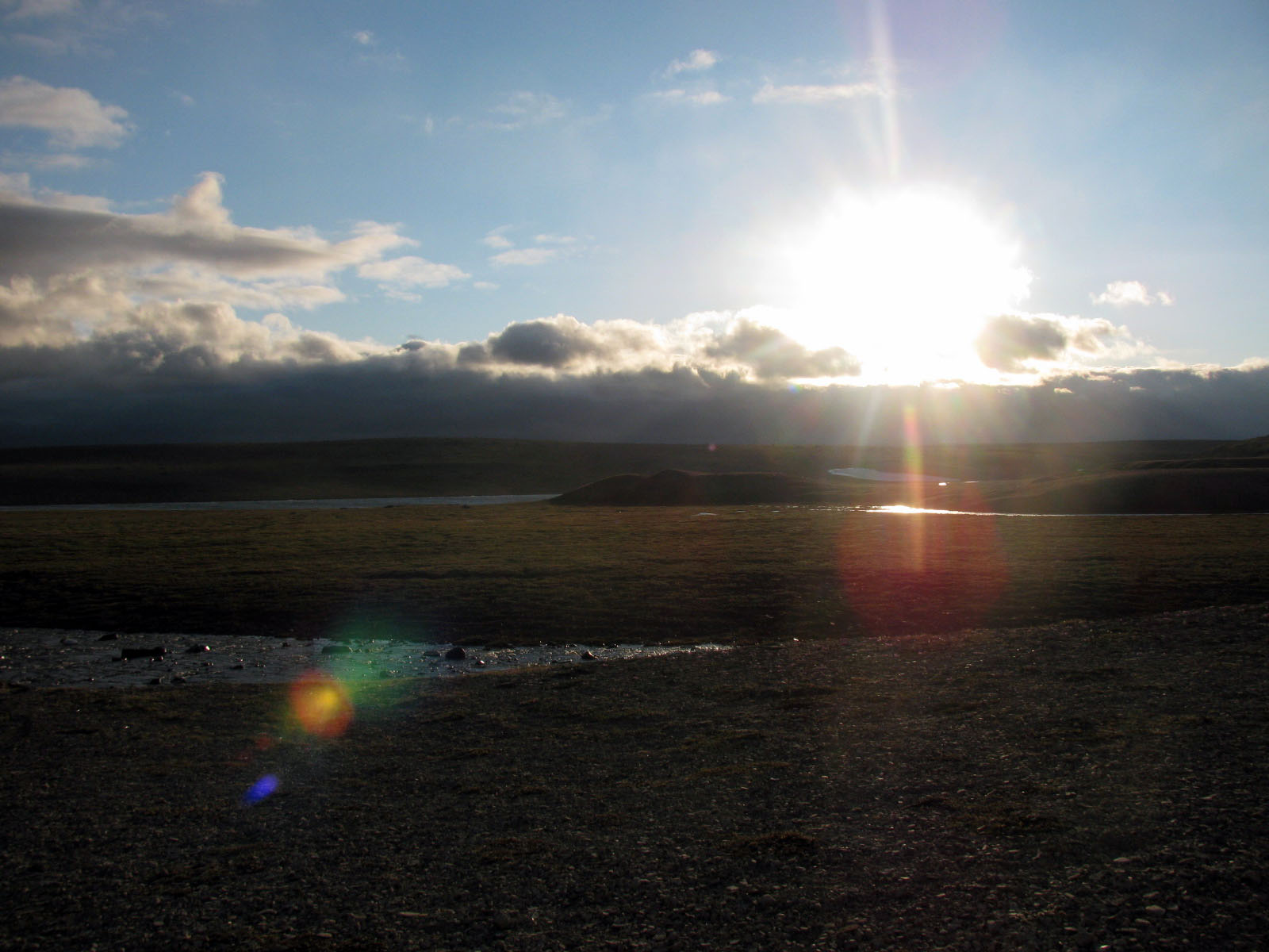
Land of the midnight sun.
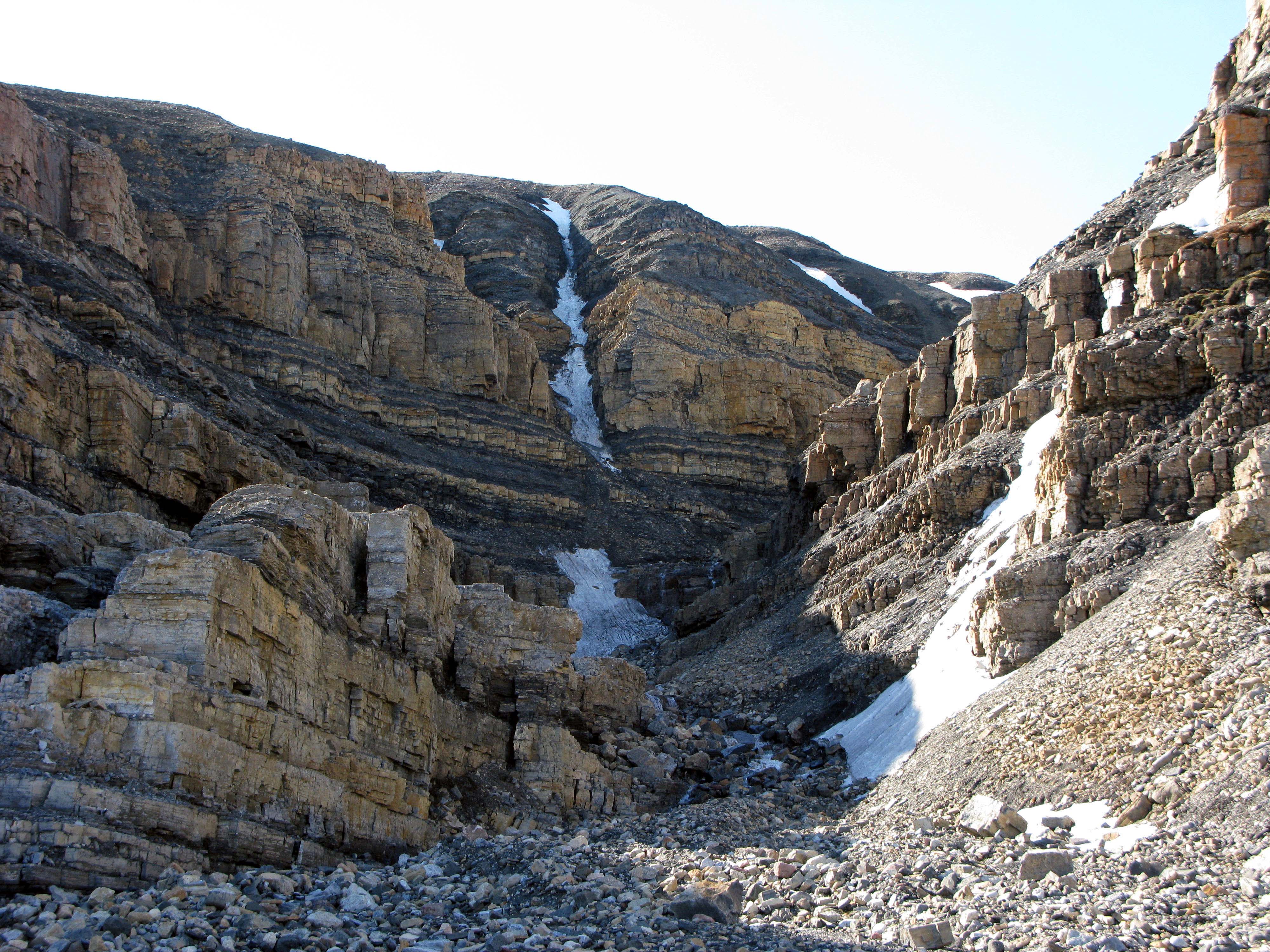
River cut through a succession of Shaler Supergroup sedimentary rocks.
The spectacular basaltic lava flows and intercalated volcaniclastic rocks of the Natkusiak Formation are preserved as two erosional remnants along a shallow syncline. The lava flows are thick and widespread, similar to those of younger flood basalt provinces (e.g., Deccan Traps, Columbia River flood basalts), but are much more weathered due to their age. In the southern erosional remnant of the Natkusiak Formation, where our work was focused, Franklin volcanism began with the eruption of thin, relatively low-volume flows over a large braided river system – the same river system responsible for the formation of the Kuujjua Formation, a cross-bedded quartz arenite that conformably underlies the Natkusiak Formation. The early Franklin lavas flowed over, and into, the shallow channels carved out by the rivers of the Kuujjua system. Sometime after the initiation of volcanism, there was a pause in volcanic activity during which two re-worked volcanic sedimentary (volcaniclastic) rock units were deposited. These units were emplaced into pre-existing topographic lows or carved channels in the underlying lavas, and were formed by a combination of debris flows and the re-activation of small rivers associated with the regional Kuujjua river system. The hiatus in volcanism was temporary, however, as the rocks overlying the volcaniclastic units are thick, laterally extensive lavas indicative of the high-volume volcanism typically associated with CFBPs.
Franklin sill intruding a section of evaporites.
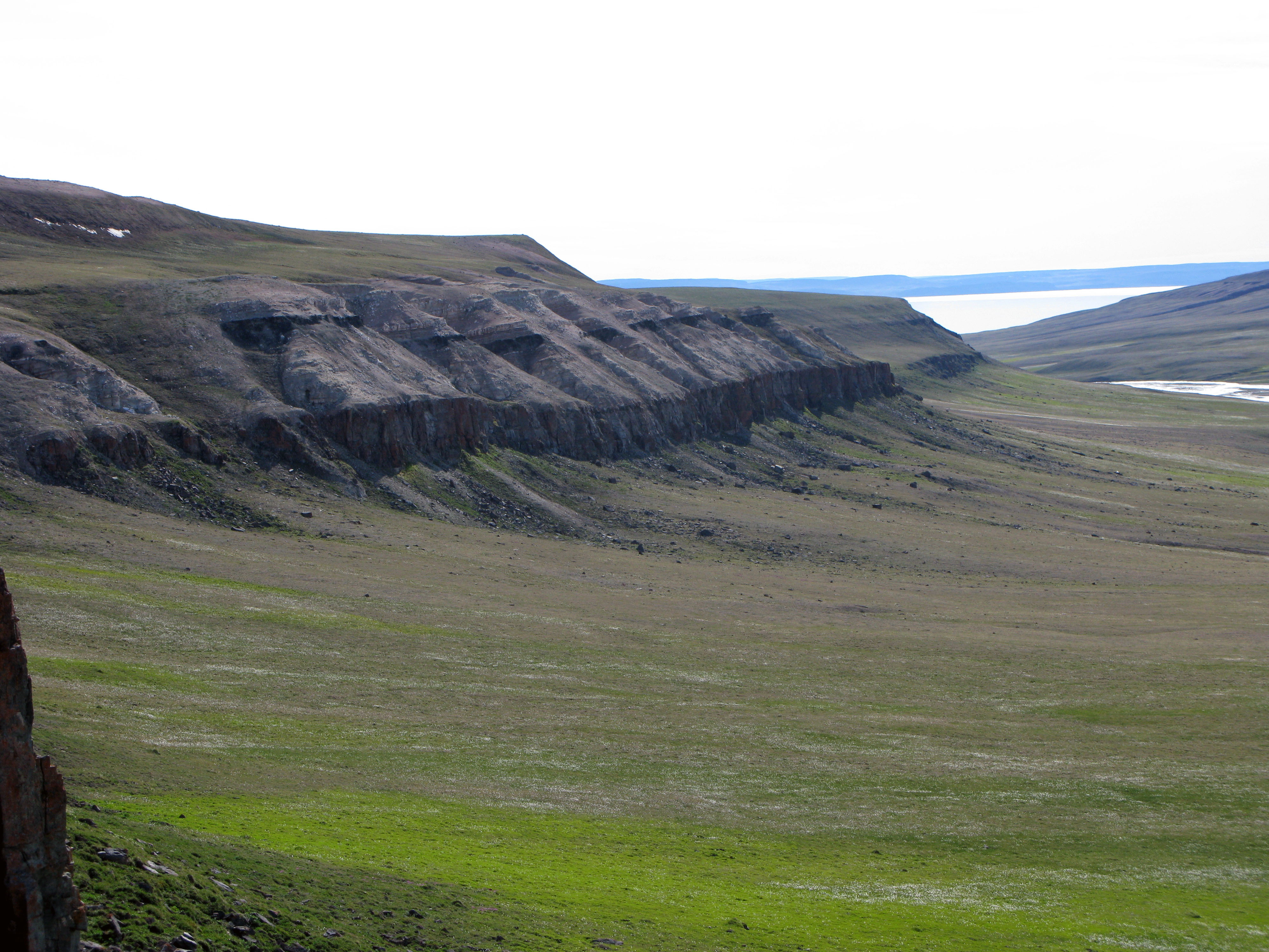
View from our ride to work: plateau in the foreground is a Franklin sill, and the plateau in the background is formed by the Kuujjua and Natkusiak Formations.
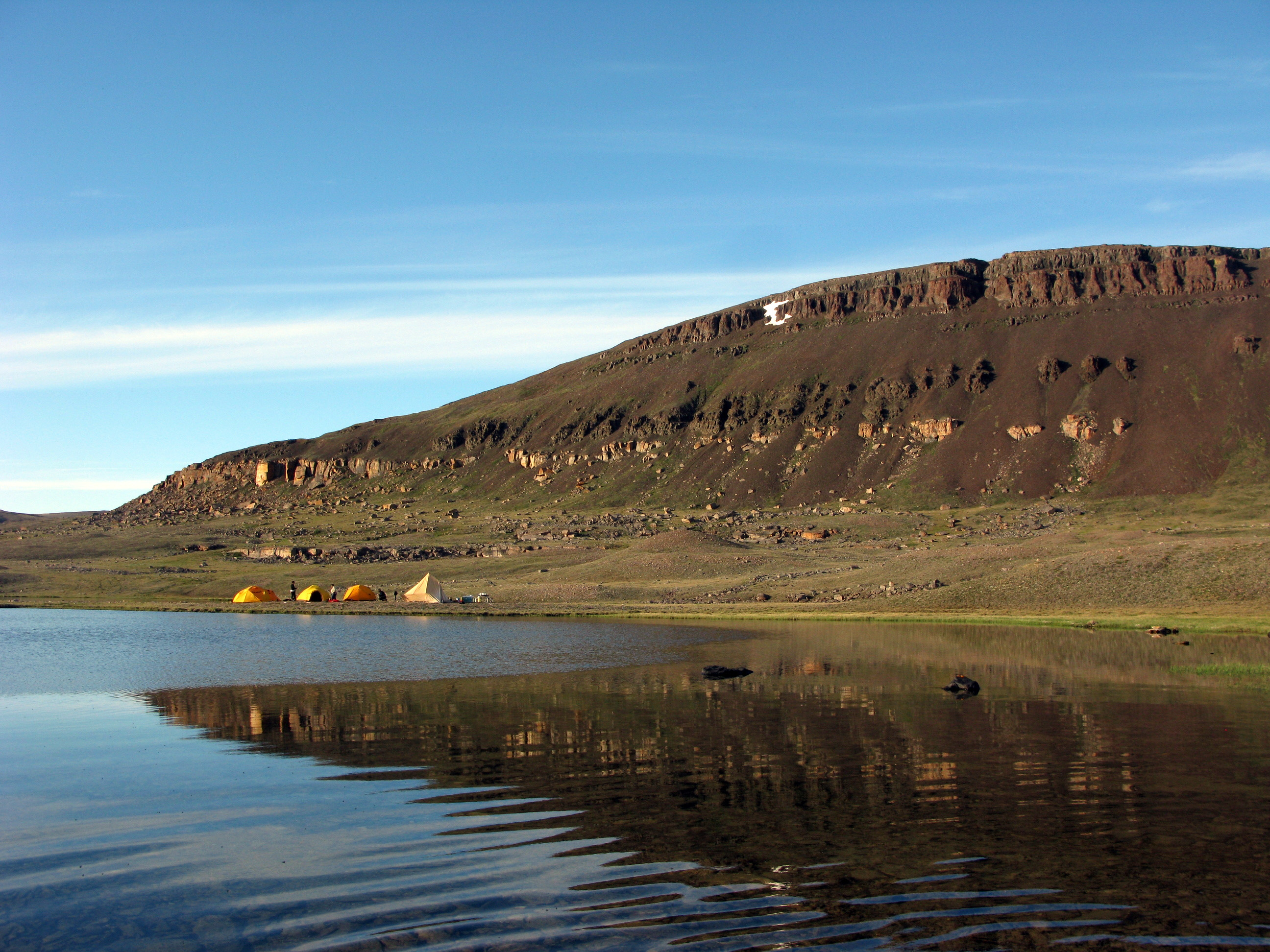
One of our camps at the base of the Natkusiak Formation. The cream-coloured unit near the base is Kuujjua Formation sandstone.
One outcome of this study was the discovery of volcanic vents and associated scoria deposits preserved within the Natkusiak Formation. The presence of these vents suggests to us that explosive basaltic eruptions occurred during the Franklin event. The preservation of these vents is remarkable given their age and is a result of opportune glacial weathering. The full story of these volcanic vents is a bit enigmatic, as only their volcanic necks and loose scoria deposits are preserved. Nevertheless, they were an interesting find. Lavas tubes were also observed within the volcanic succession of the Natkusiak Formation. The discovery of both vents and tubes was exciting because these geological features are not typically discussed in the context of flood basalt provinces. Often, focus is placed on the overall architecture of the thick, layered, lava flows. That being said, we are beginning to realize the importance of carefully documenting the volcanic successions produced by flood volcanism, including the volumetrically minor deposits. As it turns out, these are often the rocks that tell the most interesting stories from a volcanological perspective, and they can provide important information on the evolution of a CFBP.
River cut through the Natkusiak Formation. Visible is one of the volcaniclastic units capped by thicker lavas.
View of three volcanic vent necks preserved as erosional outliers among the adjacent flows and surrounded by deposits of loose scoria.
Another one of our smaller camps; we picked locations that were close to the outcrops but also near a source of water.
Ultimately, the outcome of this project was new insight on a small region in northern Canada that had not previously been mapped or described. The Natkusiak Formation is a little piece of the Franklin puzzle. Unravelling the story of the Franklin magmatic event is important for understanding the bigger picture of its impact on the geosphere, atmosphere, and biosphere, especially if it was a contributing factor to the onset of Sturtian glaciation as some geoscientists think. The experience of spending fourteen weeks between 71° and 72° north is not easily forgotten, and besides the spectacular geology, the flora and fauna are absolutely fascinating and were good company as we wandered the tundra in search of our geological clues.
Muskox stands guard.
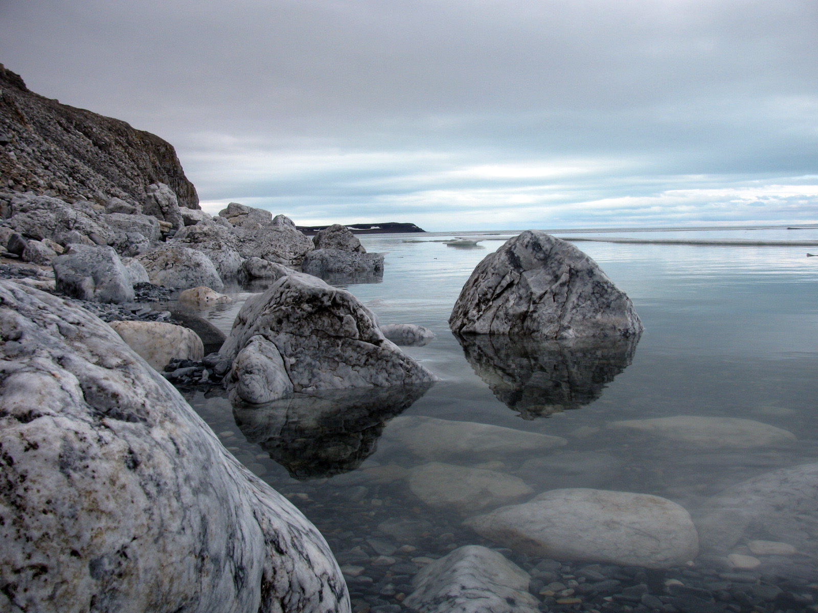
Tranquil waters of the Minto Inlet on a calm day.
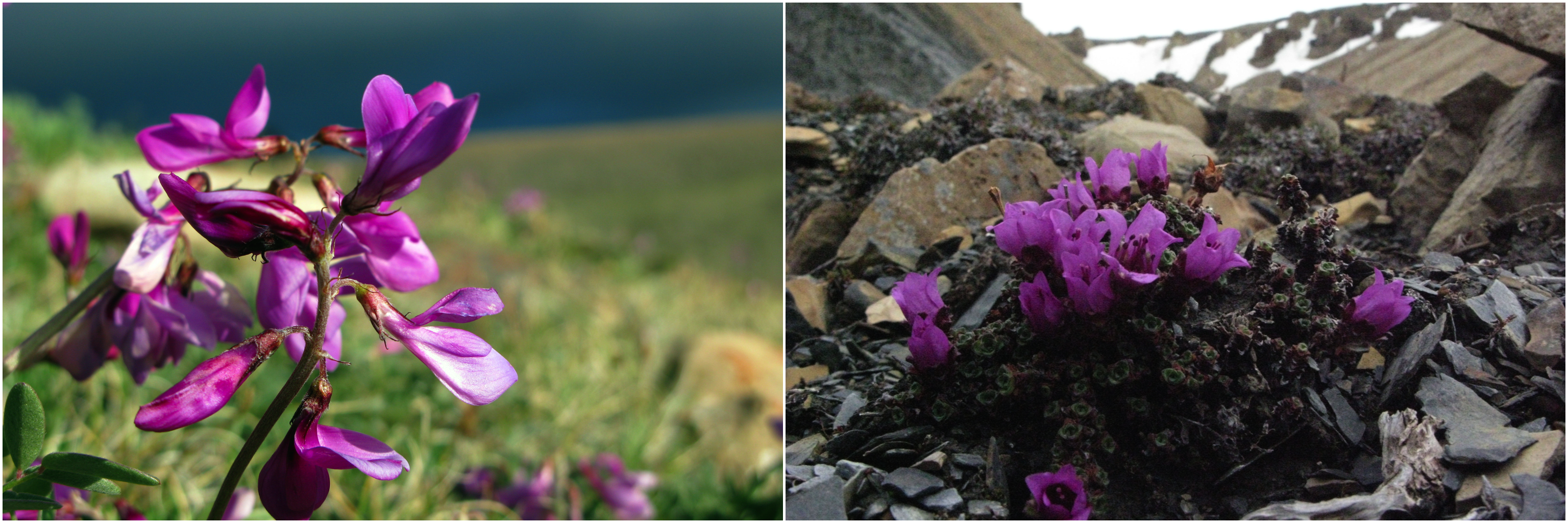
Arctic wildflowers.
For more information, the work done on the Natkusiak Formation was recently published in the Bulletin of Volcanology. Doi: 10.1007/s00445-016-1012-9
![]() This work is licensed under a Creative Commons Attribution-NonCommercial-ShareAlike 4.0 International License.
This work is licensed under a Creative Commons Attribution-NonCommercial-ShareAlike 4.0 International License.