Socorro Island is a large volcano but small island approximately 370 miles (~600 km) off the coast of central Mexico in the Pacific Ocean. The island stands 1050 m above sea level but close to 4000 m above the ocean floor. The volcano most recently erupted in 1993 in a submarine flank eruption, where large amounts of pumice were found floating off the western shore of the island.

Isla de Socorro
The volcanic island formed as part of an archipelago located on the northern Mathematicians Ridge, a linear oceanic ridge where magma is rising near a divergent plate boundary. This mid-ocean ridge was largely abandoned about 3.5 million years ago when ocean spreading shifted to the East Pacific Rise. However, some of the volcanoes situated on the abandoned ridge are still hot and erupt occasionally.
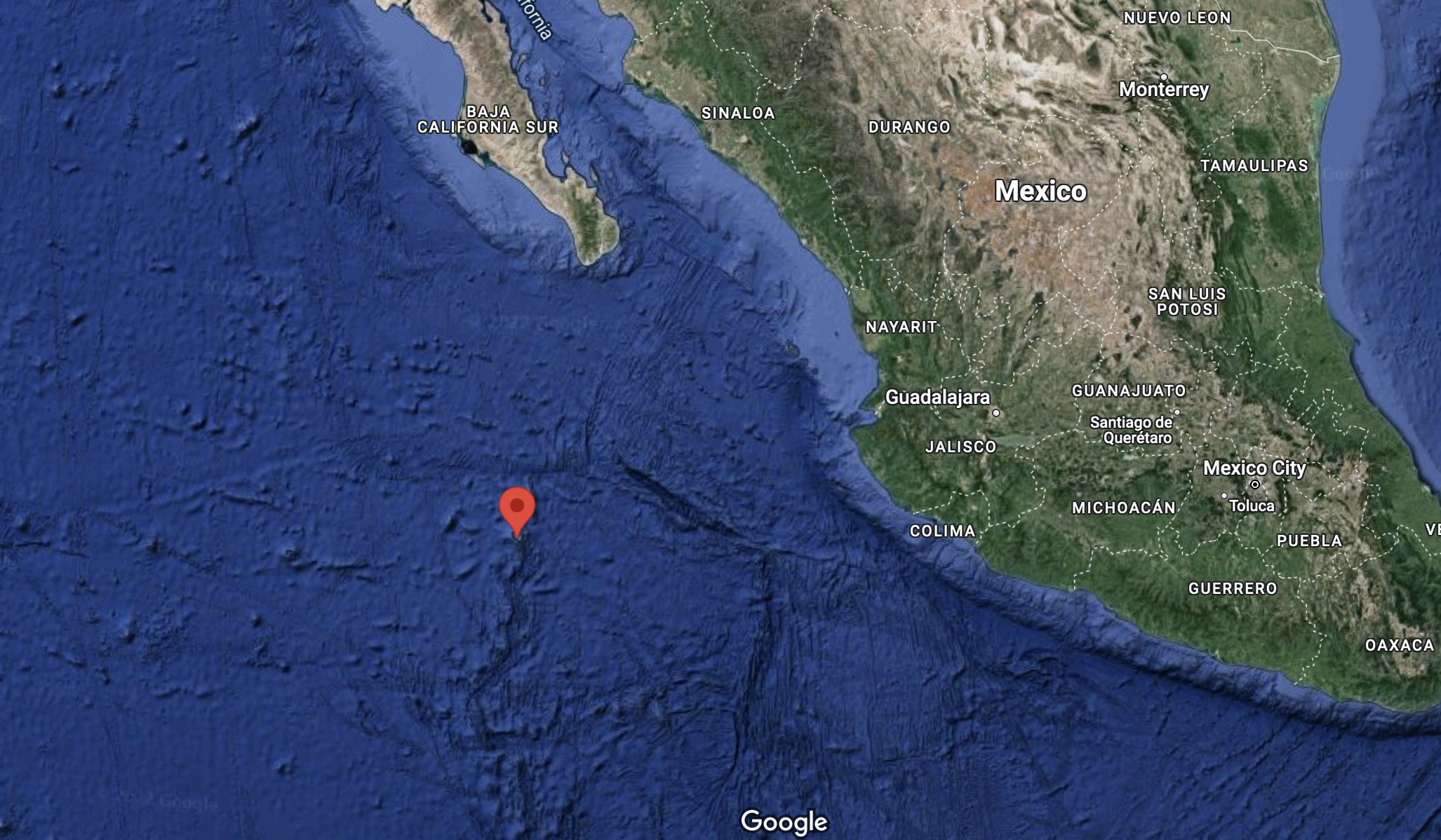
Isla de Socorro is ~600 km west of Colima and ~500 km south of Baja California
The island is largely uninhabited with the exception of a small Mexican naval base. In fact, my colleague and I received special permission to visit the island for ongoing volcano monitoring efforts and hitched a ride with the Mexican navy on a WWII era ship. With no beds available, we camped out on the deck of the ship and rode the waves for 36 hours. At first, it was a fun adventure. By the end of the journey, I was anxious to set foot on solid ground.

Our ship on its way to Isla de Socorro

Camping out on the deck
Eventually the island came into view, which has a broad, low angle profile and is dotted with red and black cinder cones, lava flows, lava domes, and a prominent peak. My colleague and I were tasked with collecting thermal temperature data and radon data from the hydrothermal system near the summit.

Brandon and I on our way up the volcano
To get to the summit, we followed a primitive trail toward the summit through diverse landscapes and ecosystems. We crossed through dense forests, volcanic desert plains, and eventually into shrubby and barren alpine terrain. The view from the peak was incredible with ocean and clouds in all directions. Approximately 50 miles to the north, I could see another volcanic island peaking out above the clouds, San Benedicto, another volcano on the Mathematicians Ridge.
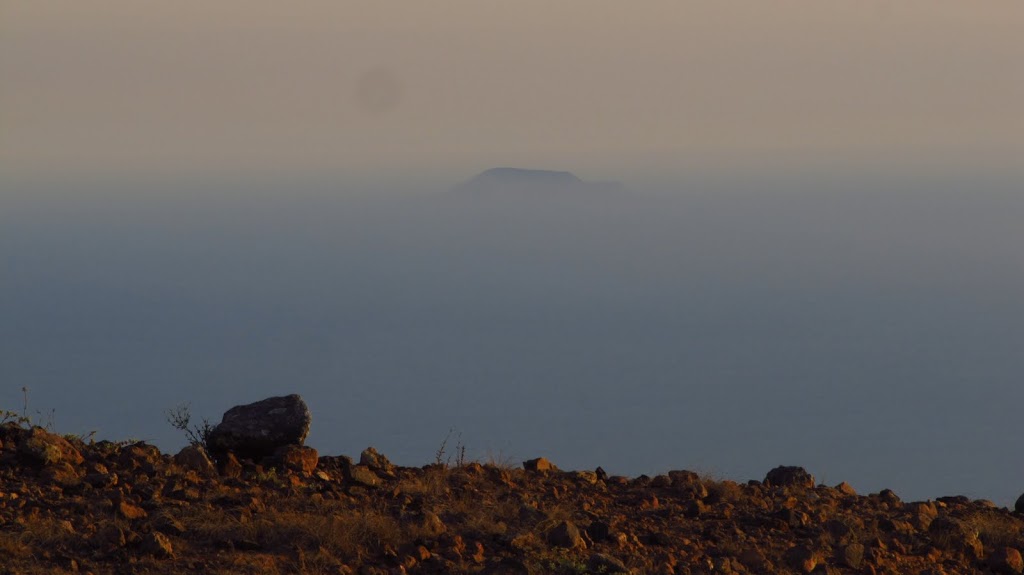 |
| San Benedicto volcano |
To collect thermal data of the summit region, we got up before sunrise and scanned the hydrothermal system before the sun’s warmth could distort the true temperatures. At sunrise, my colleague and I collected Radon measurements from the variety of fumaroles (gas vents) scattered all over the summit region, which resembled Yellowstone topography with sulfur deposits, boiling mud pots, and steaming fumaroles.
We didn’t stay long before we had to catch the next ride back to mainland Mexico. We collected the data we needed and I had an experience I won’t soon forget.

An active fumarole near the summit
Collecting Radon data

Sunset over the Pacific Ocean
For more information about the volcano and it’s eruptive history, check out this blog post.
![]() This work is licensed under a Creative Commons Attribution-NonCommercial-ShareAlike 4.0 International License.
This work is licensed under a Creative Commons Attribution-NonCommercial-ShareAlike 4.0 International License.