Bo Yang is a PhD student at the University of Adelaide working with Prof. Alan Collins. His project utilities geochronological methods to rebuild the tectonic geography of the Great McArthur Basin. Read more about Bo’s research here.
The northern Australia is host to a series of similar intracontinental shallow marine Proterozoic basins, recently termed the “greater McArthur Basin”, including the McArthur Basin in the Northeast, the Beetaloo Basin in the centre, the Birrindudu Basin in the west, the Tomkinson Province in the South and probably the South Nicholson Basin in the Southeast. The greater McArthur Basin is so vast that it covers an area over 180,000 km2 of northern Australia, stretching from Queensland to Western Australia and probably extending into the submarine Arafura Basin, off the northern Australian coastline.
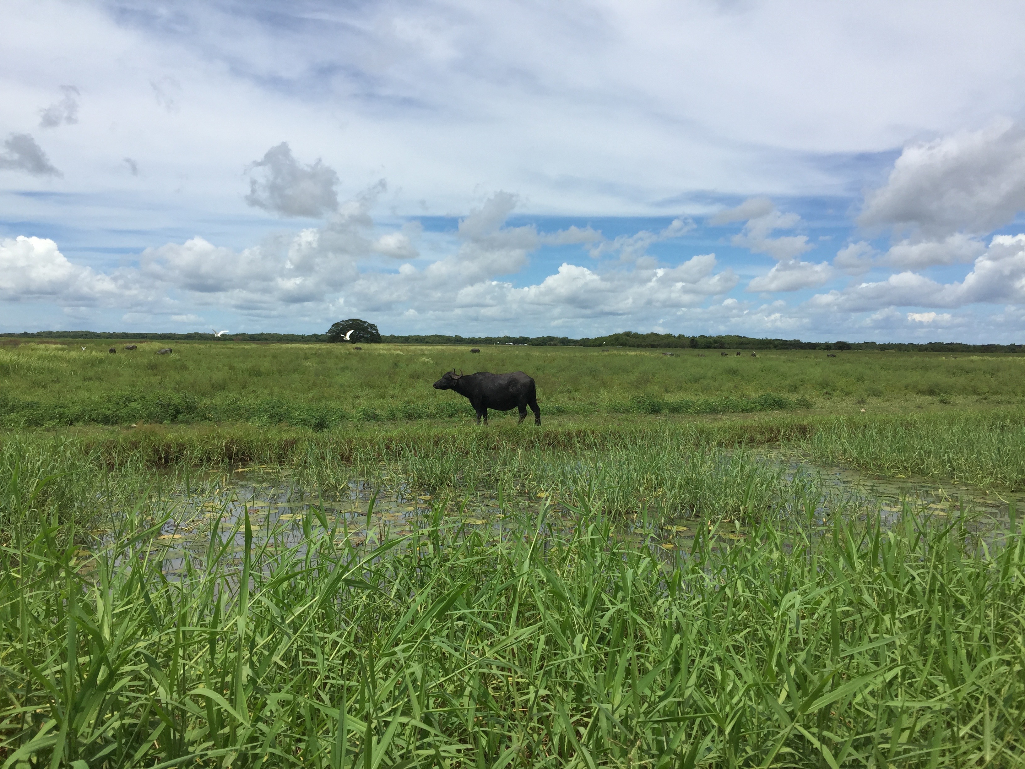
Land view of northern Australia
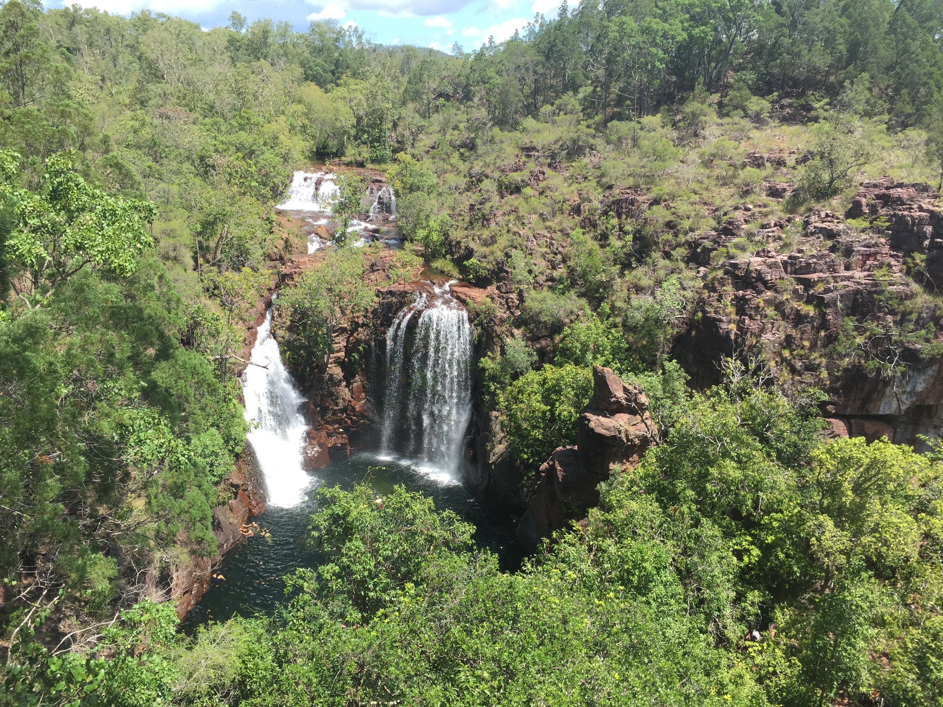
Kakadu national park
The Beetaloo Basin, in the centre, doesn’t expose to the surface but covered by younger sediments. Geochronological research indicates that this basin formed between ca.1500 Ma and ca.1300 Ma, whilst seismic research and drilling data reveal that the basin is flat lying, weakly deformed and with little post basin metamorphism. It is hard to believe that an ancient basin like this can keep “intact” for about 1.3 billion years. Besides that, this basin is also well known for hosting the largest onshore hydrocarbon reserves in Australia which is also the oldest economic gas in the world. This significant potential gas play has attracted many petroleum/gas companies’ attention and might be commercialized in the future.
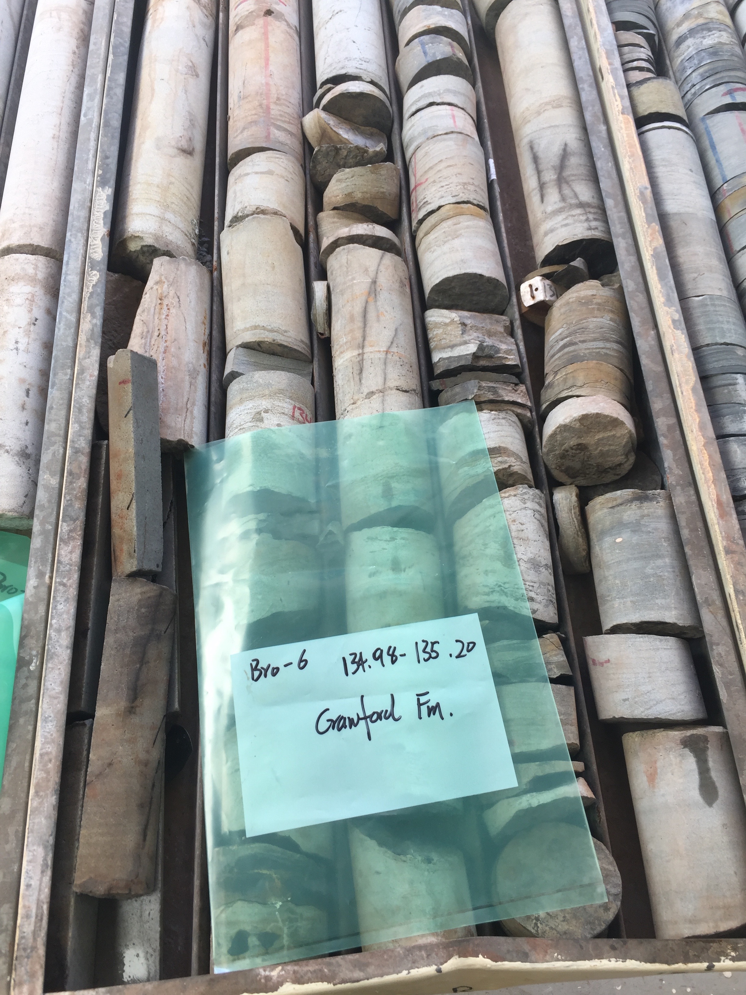
A core drill sandstone sample
Our research, and also my PhD project, is focused on the tectonic paleogeography of the Beetaloo Basin. Specifically, we are trying to figure out how and when the basin formed, where the sediments came from and how the basin evolved during the specific geological period. As mention above, the basin formed in the Mesoproterozoic era. This time period is particularly interesting, as it witnessed the break-up of the supercontinent Columbia and subsequent formation of the supercontinent Rodinia. And the Beetaloo Basin located in the centre of Northern Australian Craton it must record valuable information and evidence about this supercontinent realignment.

Shale with high total oroganic carbon (TOC)
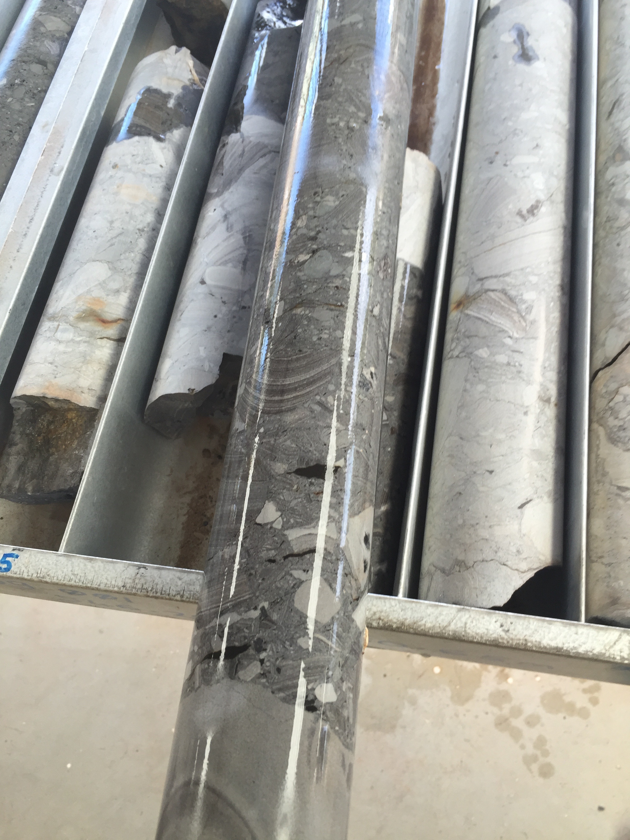
Carbonate breccia
Our job is to extract this information out from the sedimentary rocks. First, we need samples. As the Beetaloo Basin is buried by younger sediments, we can’t sample rocks in the field. However, thanks to the NTGS Core Library project, we are allowed to collect samples from core drills. So instead of doing field work in the field, we did our “field work” in a core store near the suburban of Darwin. Well, it was absolutely not as boring as it sounds. Actually, we were quite excited about our “field work”. Because that each core drill usually drilled thousands of metres underneath, which likes a trip taking us travel into the Earth. Reading these core drills is like reading a book of Earth history which shows us that sometimes the basin can be as quiet as black shales, and sometimes it can be as violent as breccia. Isn’t it amazing?
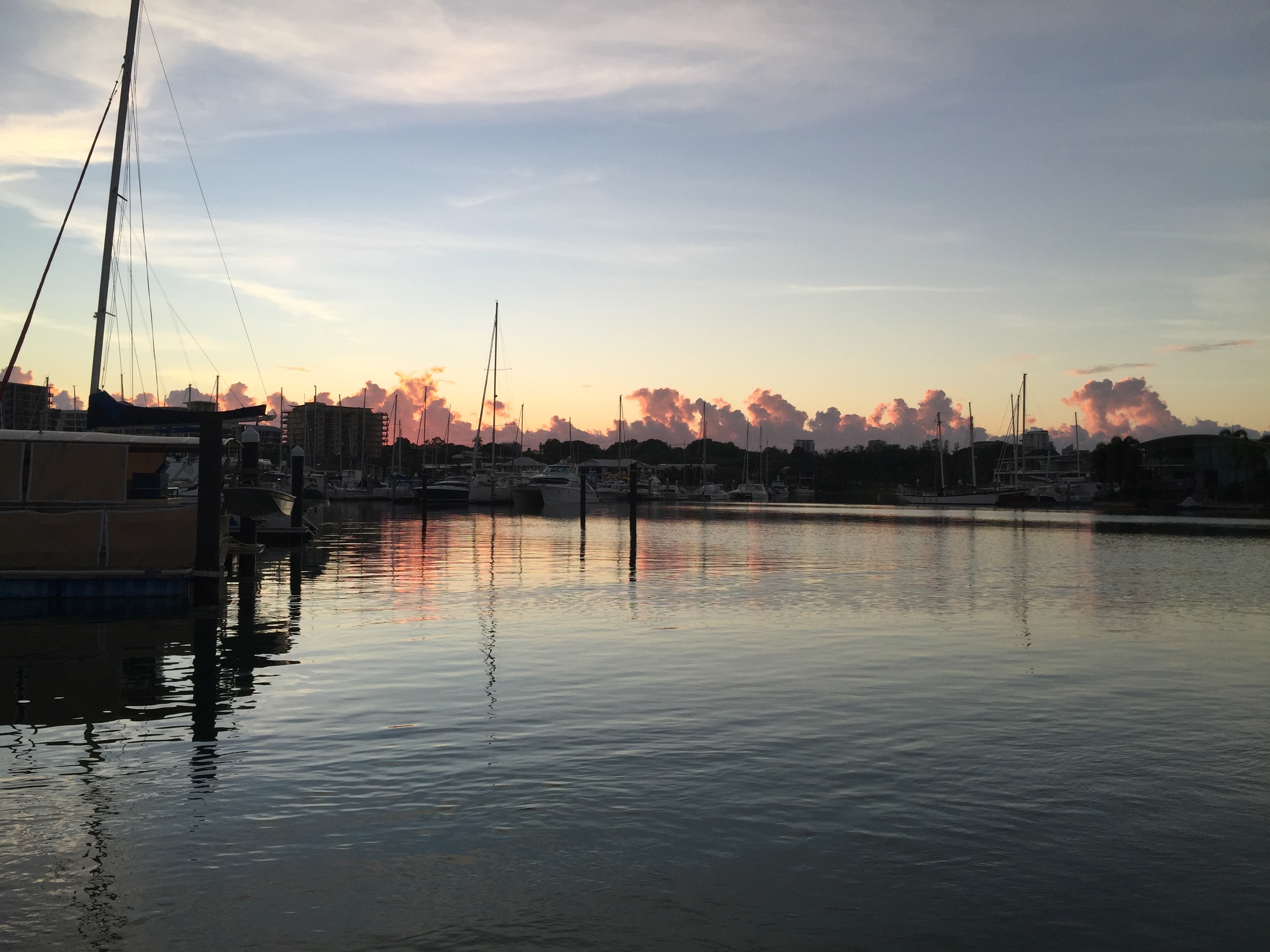
The dawn of Darwin
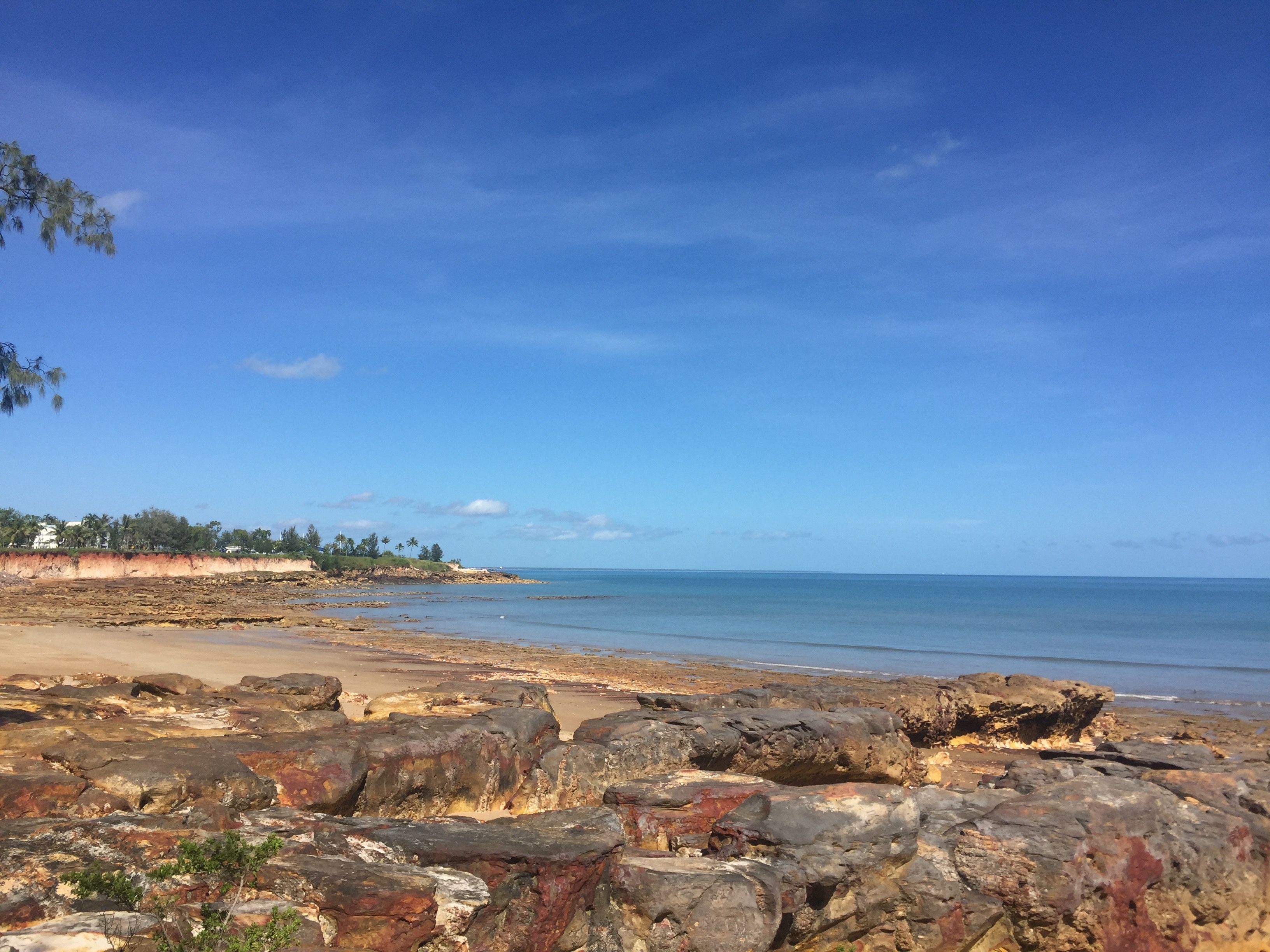
The beach of Darwin
One core drill can tell us how the basin evolved with time and putting several core drills from different locations together, we can roughly draw a whole tectonic geography picture of this buried basin.
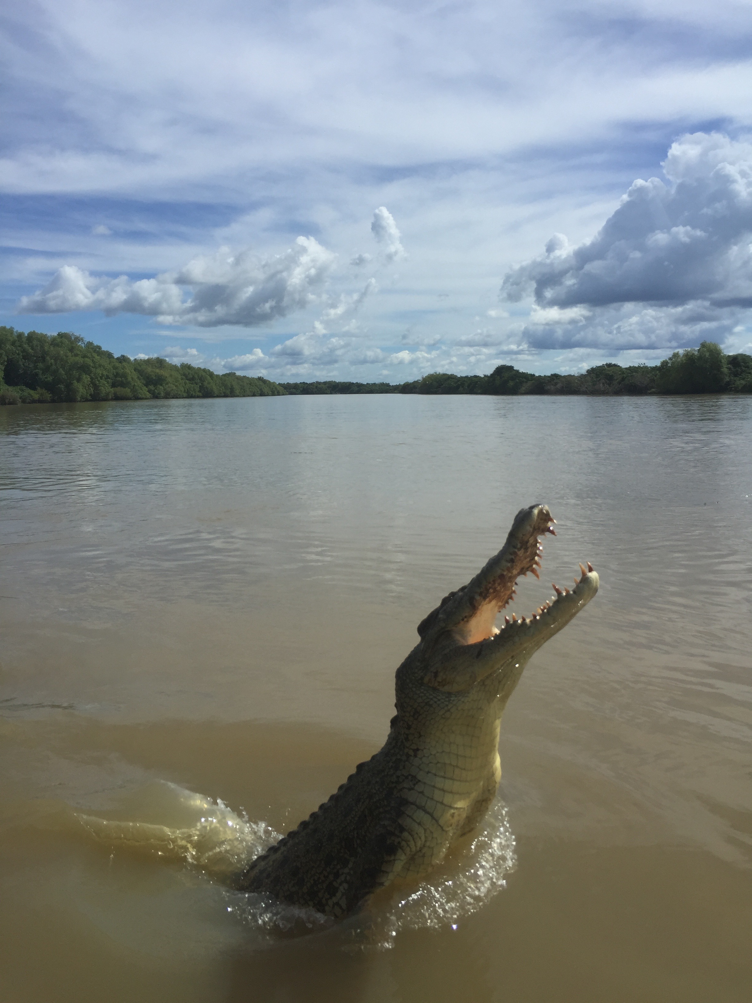
A monster
![]() This work is licensed under a Creative Commons Attribution-NonCommercial-ShareAlike 4.0 International License.
This work is licensed under a Creative Commons Attribution-NonCommercial-ShareAlike 4.0 International License.