Donnelly Archibald is an Instructor and Lecturer at St. Francis Xavier University in Canada. He uses field studies, geochronological, isotopic and geochemical data collected from igneous rocks to answer tectonic problems. He primarily studies rocks in Madagascar and the northern Appalachians.
Madagascar is a large island nation located off the southeast coast of Africa. Many readers may first think of Madagascar for its flora (vanilla) or for its unique fauna (lemurs and chameleons). The nation has been isolated since the Cenozoic Era allowing these species to evolve independently from their cousins in Africa or India. The geology is also remarkable. The eastern two-thirds of the island are underlain by Precambrian rocks. Phanerozoic sedimentary and volcanic rocks blanket the western third.
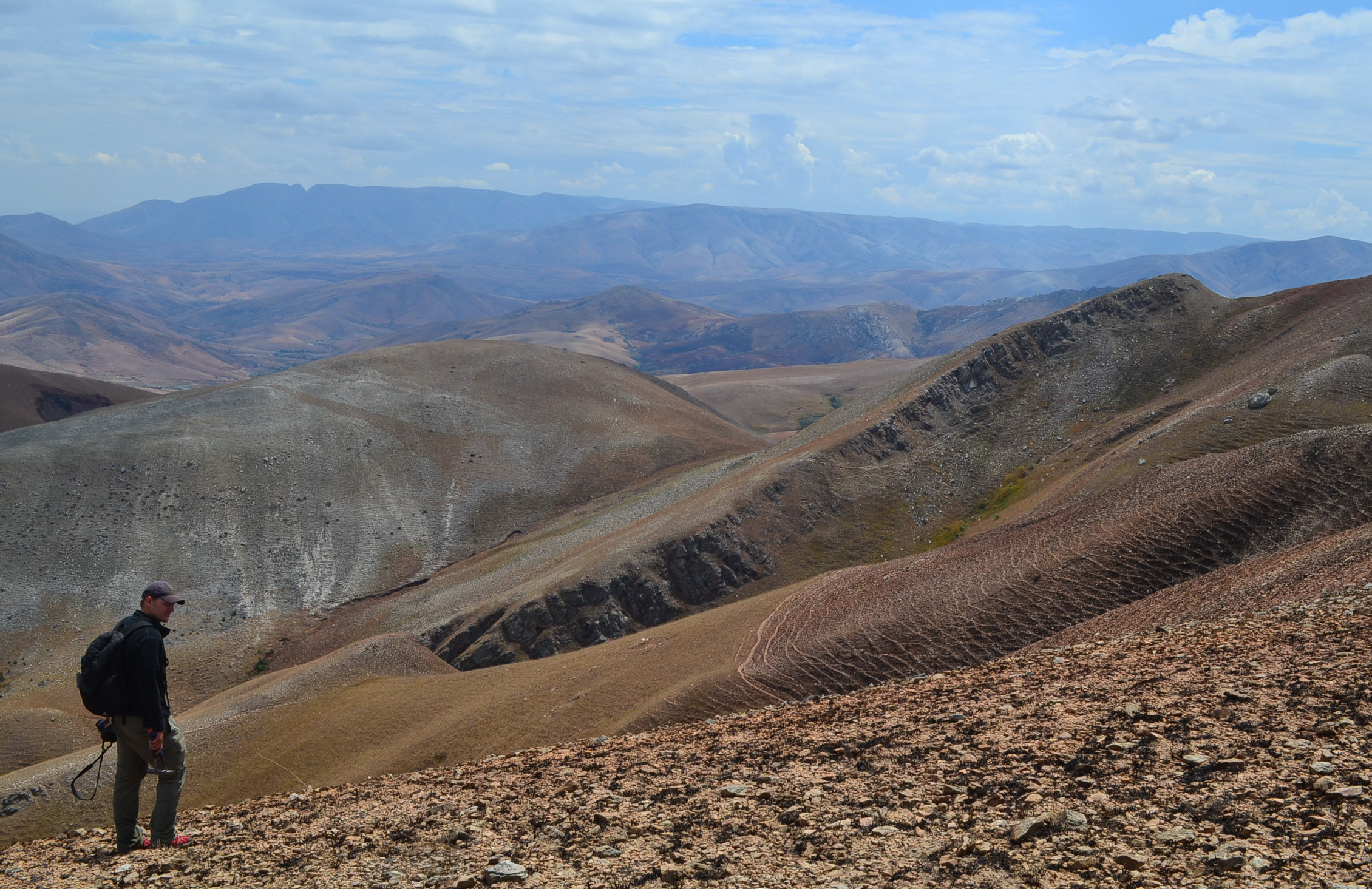
Examining some rocks in the central highlands
My research examines the tectonic geography of Madagascar between 1100 and 500 million years ago during the Neoproterozoic Era. This is an incredibly important period in Earth’s history. The supercontinent Rodinia amalgamated then dispersed and the Gondwana supercontinent formed. Furthermore, the Ediacaran fauna appeared; the first multicellular organisms on Earth.
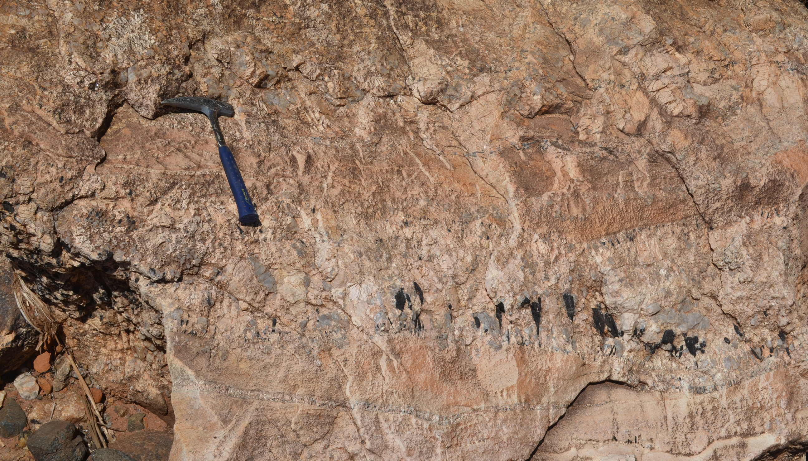
We used the products of tectonic events to infer the tectonic setting that Madagascar resided in when the rocks formed. The chemical composition of igneous rocks can be diagnostic of a particular tectonic environment. Igneous rocks (granite or basalt) can form where tectonic plates are converging (magmatic arc) or they can form where plates are moving apart (mid-ocean ridge). Uranium and lead isotopic data from a mineral zircon tells us the timing of these event(s).
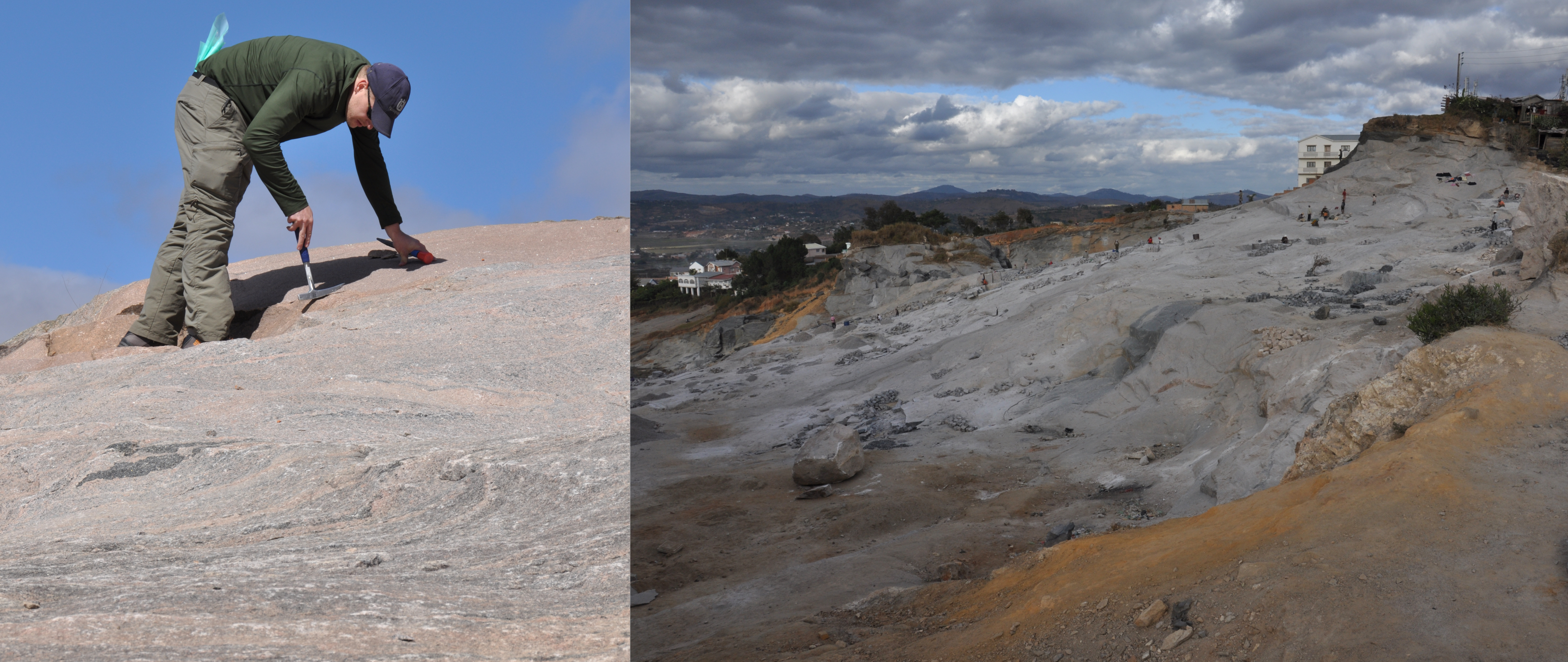
Igneous rocks formed the basis of my research
My field work began in Antananarivo where we met our Malagasy colleague Théodore Razakamanana. We set off south to the Fianarantsoa Province in the central Madagascan highlands. This area is hot and dry with few trees found away from river systems. Here, we studied three Neoproterozoic rock suites and their relationship to the older basement rocks.

My field support crew, from left to right, Alan Collins, Théodore Razakamanana and John Foden
During a trip west of Fianarantsoa, we were unable to make it to the town of Ikalamavony where we planned to spend the night. The road infrastructure in Madagascar is challenging which makes it difficult to predict travel times. Instead of camping, Théodore suggested we stay in a small village named Ambalavao Un. He spoke to a village elder and her family offered us their clay and brick home for the night. They prepared dinner which included chicken, extremely hot chilies and rice. With Théodore’s translation skills, we stayed up late learning about the culture of a small Malagasy village where only two of the 75 residents had travelled to the city of Fianarantsoa, a mere 80 km away.
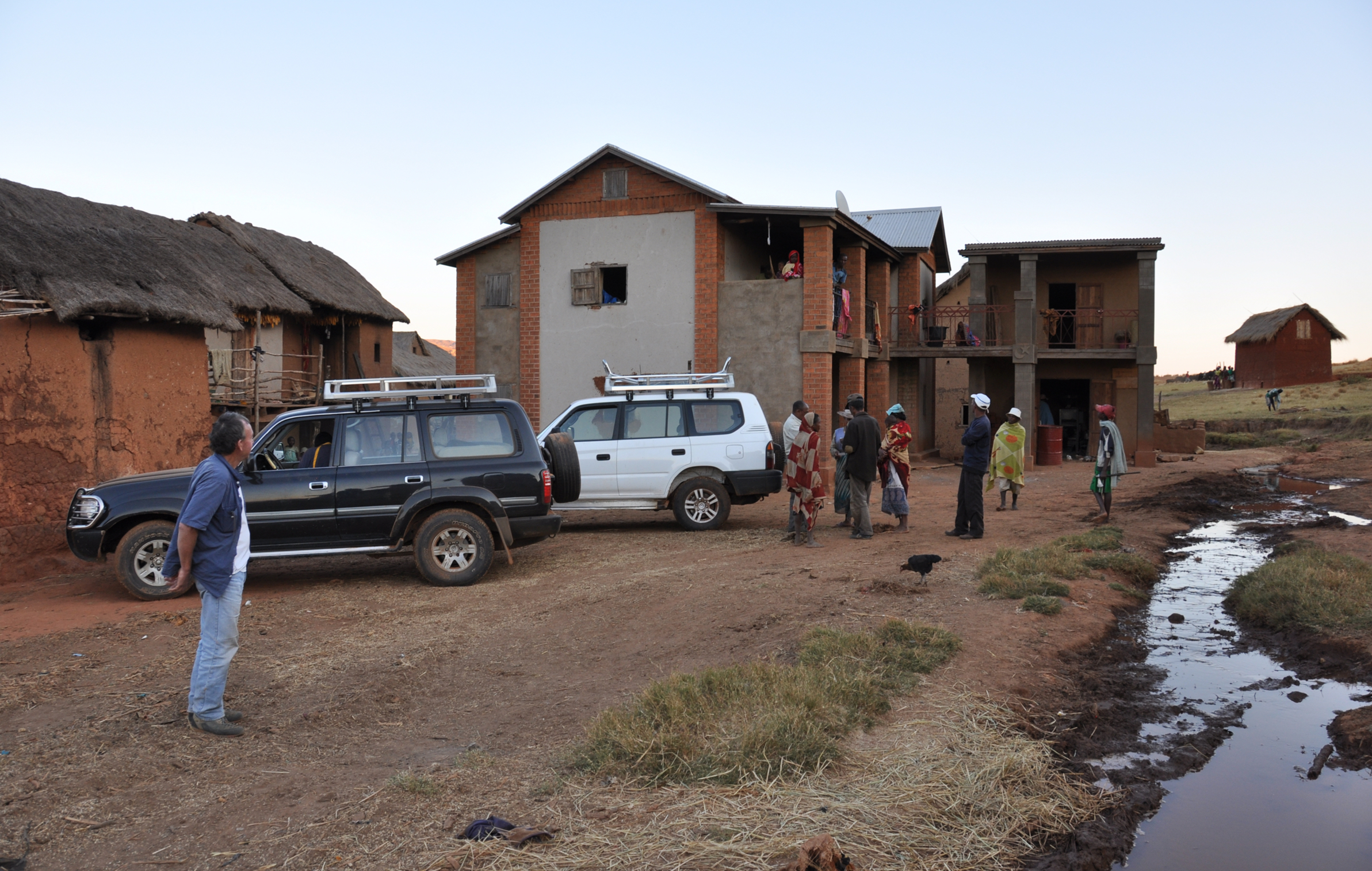
The small village of Ambalavao Un where we were welcomed to spend a night
A few days later, we travelled north to a small village named Ambatofinandrahana. Here, we sampled more of the Neoproterozoic igneous rocks. One evening, a man asked us why we were in the area. We explained that we were studying the rocks and not 5 minutes later, the villagers brought us spectacular mineral specimens including garnet, tourmaline, apatite, zircon and quartz (just to name a few!). Madagascar is renowned for its spectacular mineral specimens that are sourced from pegmatite deposits and many Malagasy people depend on gem and mineral sales as a source of income.
Tourmaline-bearing pegmatite
Our next stop was the western part of the Precambrian basement to investigate igneous rocks that formed between 1080 and 980 million years ago. These rocks are found only in western Madagascar and they demonstrate that this region had a unique geological history prior to amalgamation with the rest of Madagascar before 850 million years ago. Once our field work in this area was finished, we became tourists and visited Allée des Baobabs (Baobab Avenue) near Morondava on the west coast.

Allée des Baobabs near Morondava on the west coast of Madagascar
It took us a full two days to travel back to Antananarivo! We then travelled east of the capital to Moramanga (translates to “more mangoes”) and Brickaville. The rocks in this area are extremely deformed and are interpreted to represent a Neoproterozoic suture zone between India and Madagascar. Large shear zones here were active during Gondwana amalgamation.
The east coast of Madagascar contrasts with the central highlands. Lush rainforests provide an ideal habitat for vegetation, lemurs, amphibians and reptiles. We were lucky enough to find the largest lemur who inhabits the tree tops, the Indri. We also spotted Sifaka lemurs and chameleons.
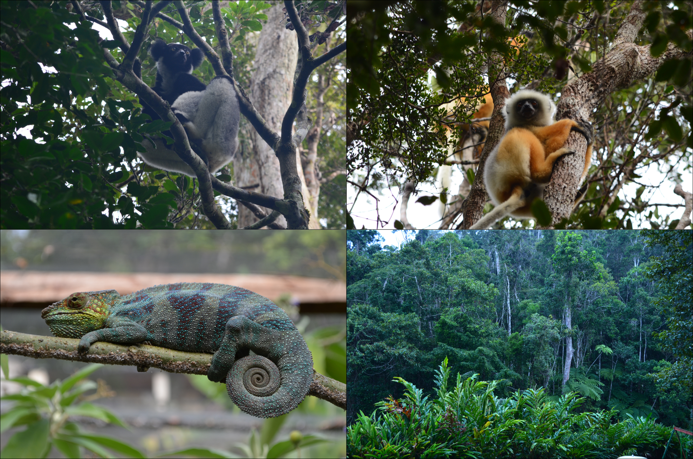
Indri lemur (top left), Sifaka lemur (top right), chameleon (bottom left) and Eastern Malagasy rainforest (bottom right)
The final stop on our trip was the northern part of the island in the Antsiranana Province. The coastal region is covered in dense vegetation and famous for its vanilla exports. Geologically, the northern part of Madagascar is unlike the central or western portion of the island. This region had its own Neoproterozoic history before it attached to the rest of Madagascar by 520 million years ago.
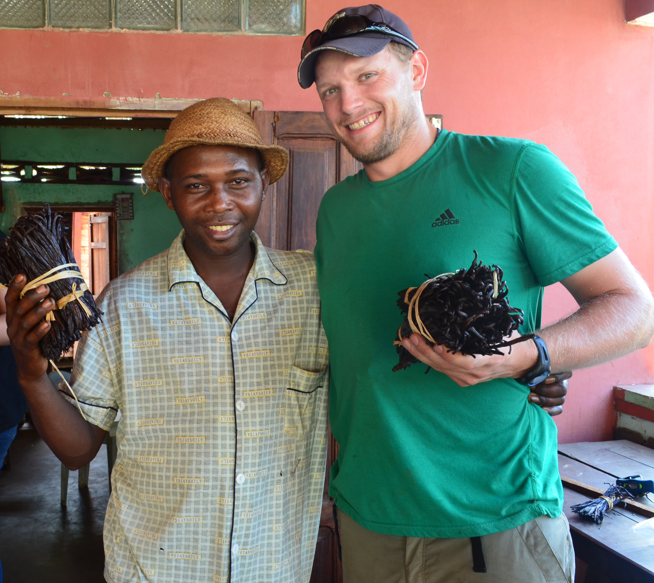
Buying vanilla from a local dealer in the Sambava Region
Back at the University of Adelaide, I assembled an extensive geochronological, geochemical and isotopic dataset for all of the igneous rocks from Madagascar that have crystallization ages between 1100 and 520 million years old. We were then able to put together a story for the tectonic development of Madagascar during this time interval.
An oceanic arc formed west of Madagascar between 1080 and 980 million years ago (a correlative to the Aleutian Arc in the north Pacific) that then coalesced with eastern Madagascar. Between 850 and 700 million years ago, the continent resided at a plate boundary. The compositions of the rocks that formed during this period indicate that Madagascar was above a subduction zone similar to the Andes (western South America). Finally, Madagascar occupied a central position in the Gondwana supercontinent. Madagascar became wedged between India and East Africa and magmatic rocks were emplaced due to, in part, the over-thickened crust (a modern analogue is Tibet). This story forms part of a global reconstruction of the entire planet between 1000 and 520 million years ago that was recently published in Gondwana Research.
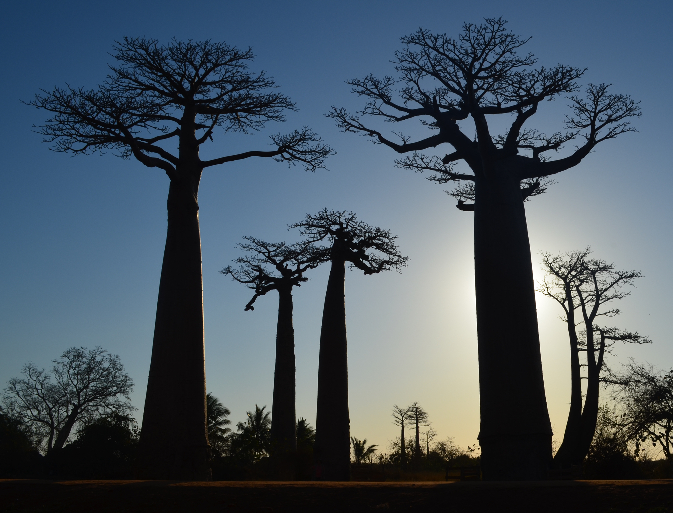
Sunset behind the Baobab trees at Allée des Baobabs
I am extremely fortunate to study the spectacular geology of Madagascar. Experiencing a new culture and interacting with the Malagasy people who are friendly, hospitable and genuinely interested in our work was rewarding.
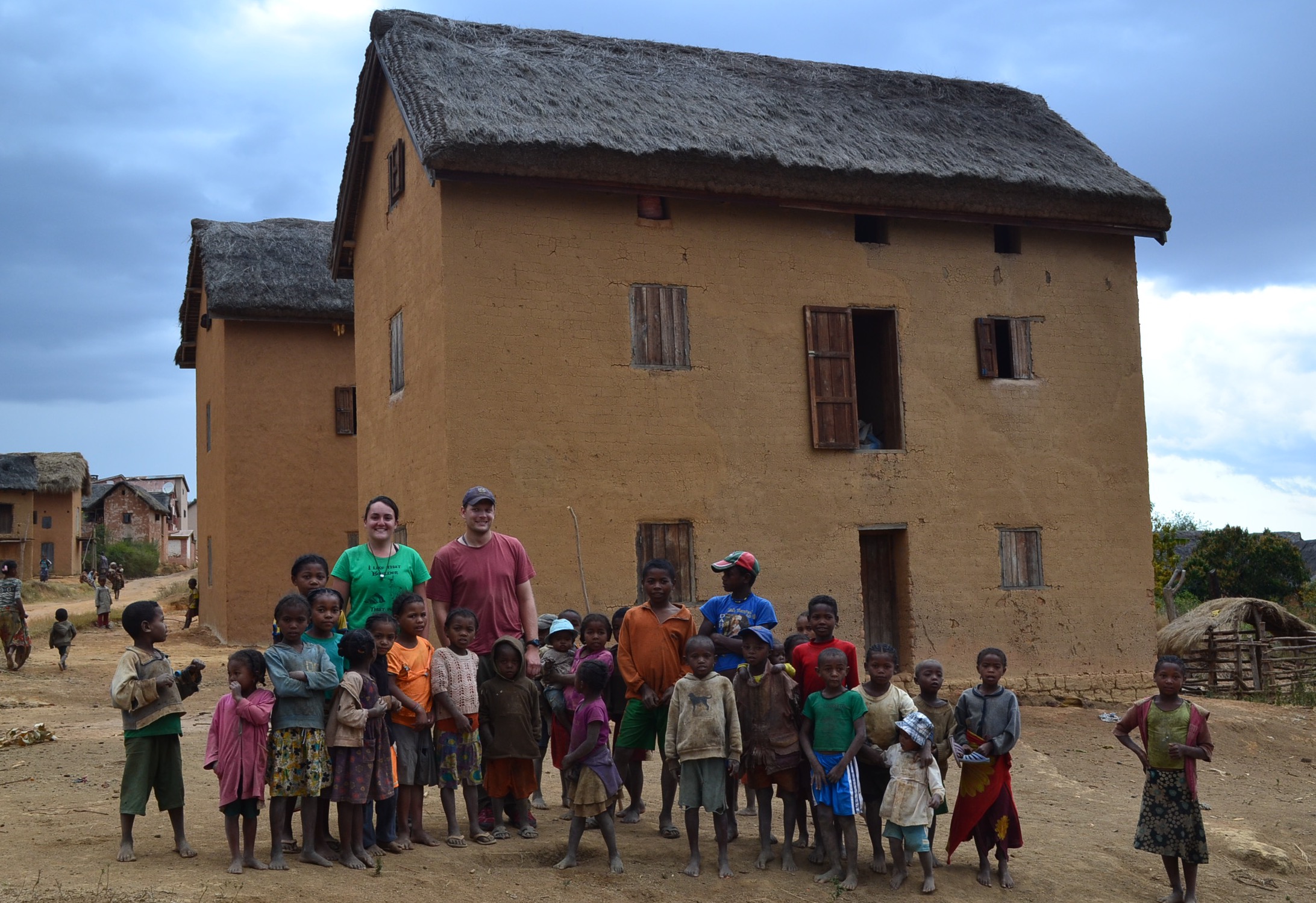
Myself and Raisa Costa (MSc Student in Brazil) with a group of children near Ikalamavony Village
But the story is not finished. I would like to go back to Madagascar to continue this research. There is a lot more work to be done!
![]() This work is licensed under a Creative Commons Attribution-NonCommercial-ShareAlike 4.0 International License.
This work is licensed under a Creative Commons Attribution-NonCommercial-ShareAlike 4.0 International License.