Sarah completed her MSci Geology degree at University College London and her PhD at the University of Edinburgh. She has been a lecturer at the University of Plymouth since 2006. Although trained in classical geology (sedimentology and structural geology), her recent research has mostly focussed on active tectonics and tectonic geomorphology.
As a lecturer it is not often that you get 4 months to focus solely on research but last year I was lucky enough to be awarded a Leverhulme International Fellowship to go to Victoria University of Wellington on sabbatical. This period has allowed me to undertake field work in some of the most beautiful and demanding terrane that I’ve ever faced!
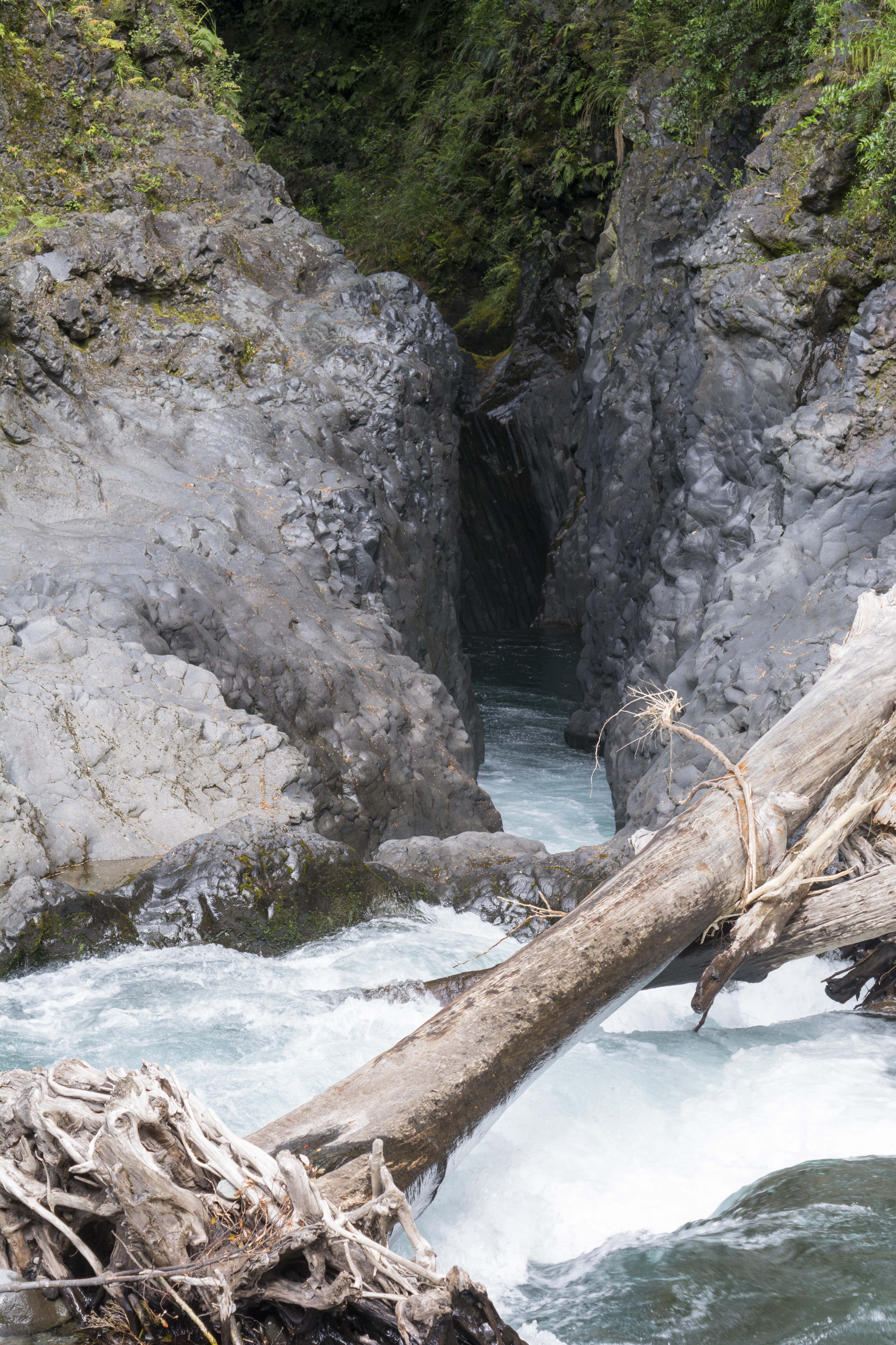
This is Treetrunk Gorge – I wonder how it got it’s name?
I am a geologist interested in how active faulting interacts with climate and rivers to sculpt the dynamic landscapes of tectonically active regions. As if we can understand how faulting influences erosion rates and river development we can use remotely sensed data such as digital elevation models to derive rates of fault motion for faults that are either too remote or otherwise unconducive to other methods of study. Over the last few years myself and colleagues at Plymouth and Imperial College London have been using river geomorphology, specifically features termed knickpoints, to investigate active faults in Turkey and Morocco.
This research has led to me wanting to be able to put a number on how fast the landscape is eroding, which led me to cosmogenic nuclides. These nuclides are formed when energetic cosmic particles collide with molecules in the Earth’s atmosphere or in surface materials. One such nuclide, Be10 is relatively easy to measure across a range of rock types. When that material is washed into the river system, the cosmogenic nuclides can give information on rates of erosion across the river catchment.
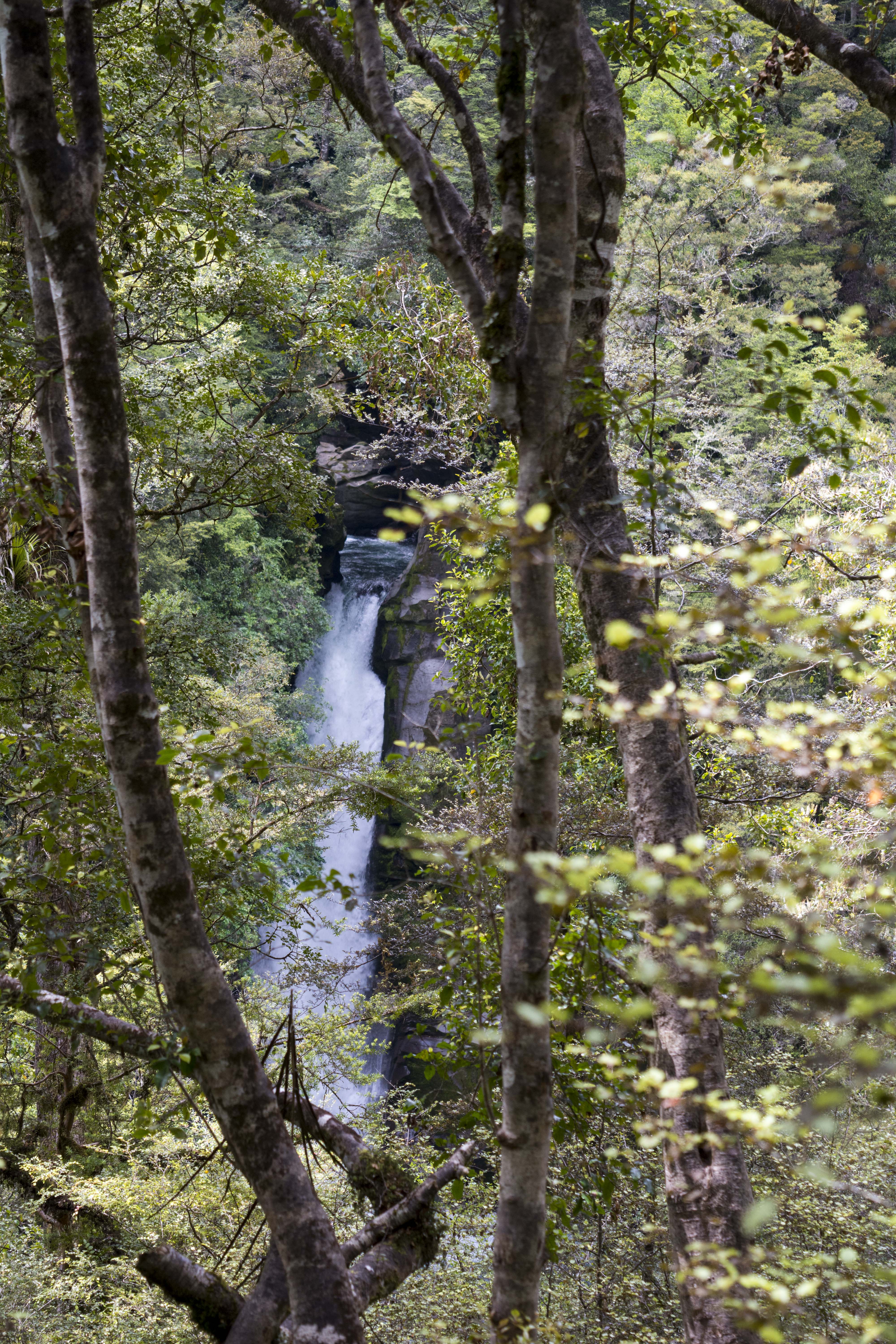
Hidden waterfall on the Tauranga-Taupo River
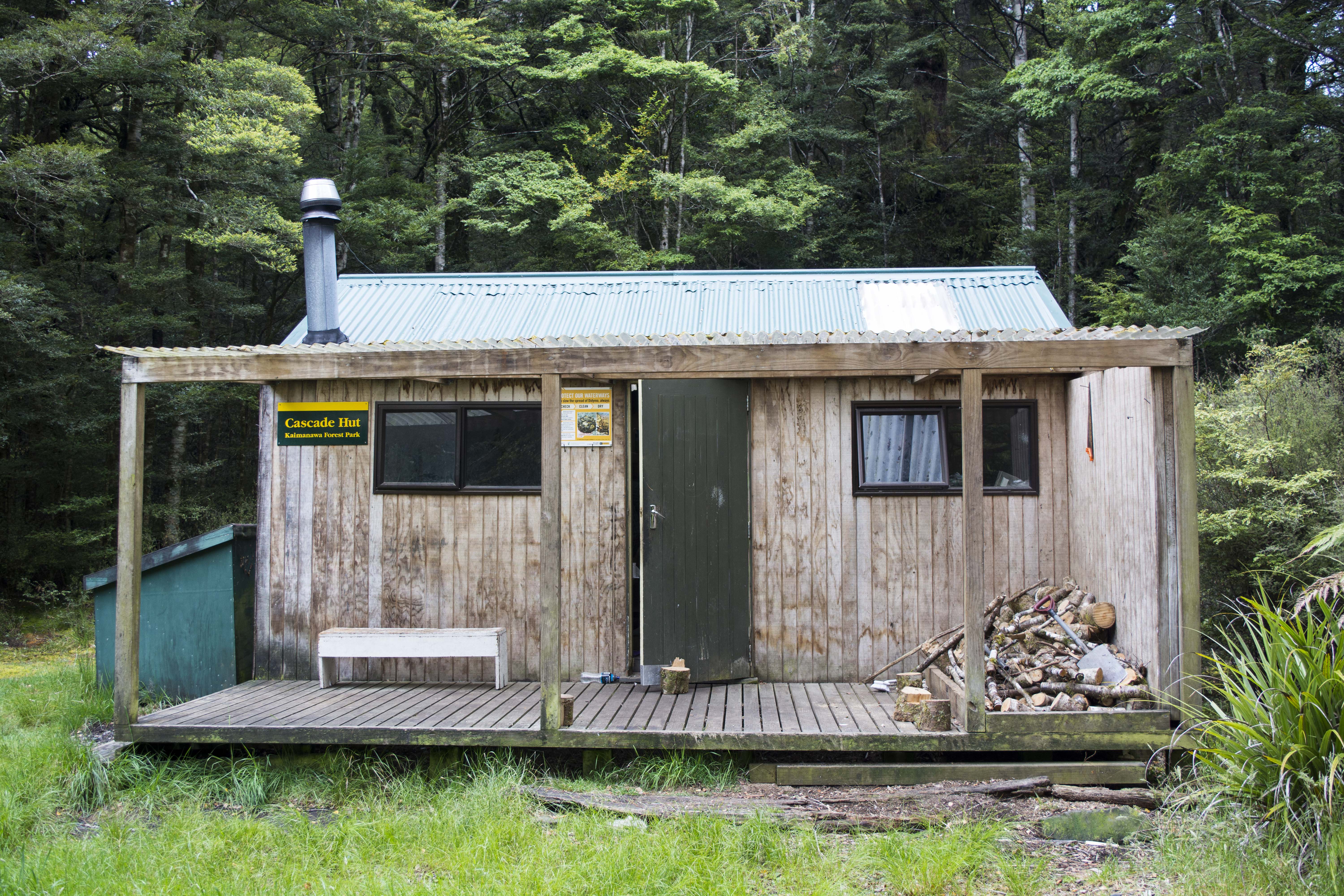
The Cascade Hut – home sweet home for one night
On the southern margin of Lake Taupo, North Island New Zealand, a series of rivers cross active faults, providing a nice study area to test out this idea in a temperate climate, as opposed to the semi-arid and Mediterranean climates where similar research has previously been undertaken. However, my pre-fieldwork reconnaissance using maps and GoogleEarth didn’t entirely prepare me for the realities of working in an area of high rainfall and low population density. The landscape is highly dissected by rivers, covered in forest and with few trails. What I thought would be 20-minute drives turned into an hour, and short walks turned into grueling half-day hikes. However, the area is truly beautiful and I will always remember hiking through native forest to find a waterfall hidden in a ravine and an overnight tramp to a walker’s hut involving climbs up and down root ladders and river crossings across manmade and natural bridges. The area we were in gets few visitors as most folk go to the nearby volcanoes and pass by the forests, but that meant that we normally saw no other people on our tramps and only had the sound of tui and bellbirds for company and watched over by gnarled old trees. The Kaimanawa turned out to be more primeval and remote than I thought possible in the middle of New Zealand but have provided me with great memories and fantastic samples.
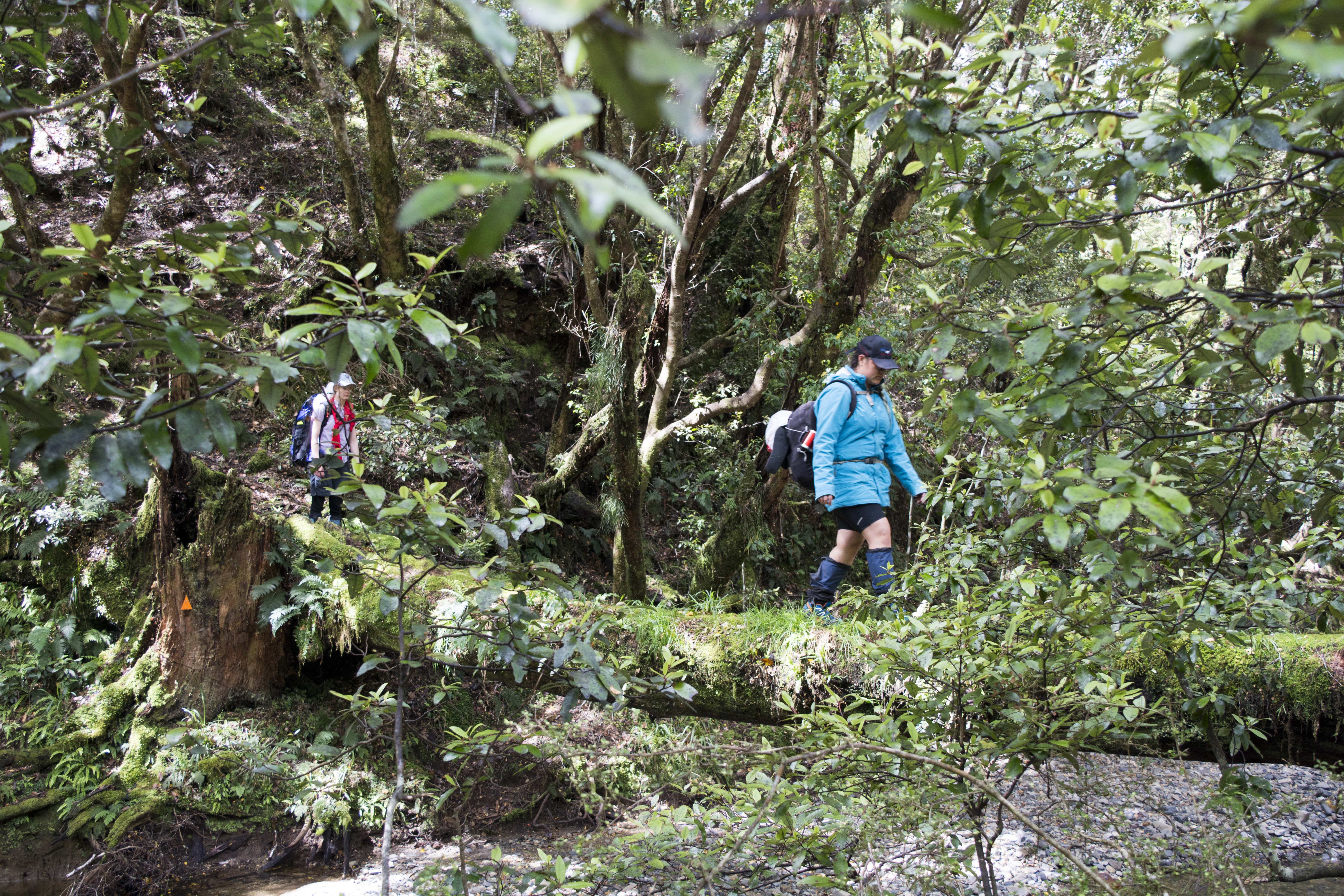
Low tech river crossing in the Kaimanawa Forest
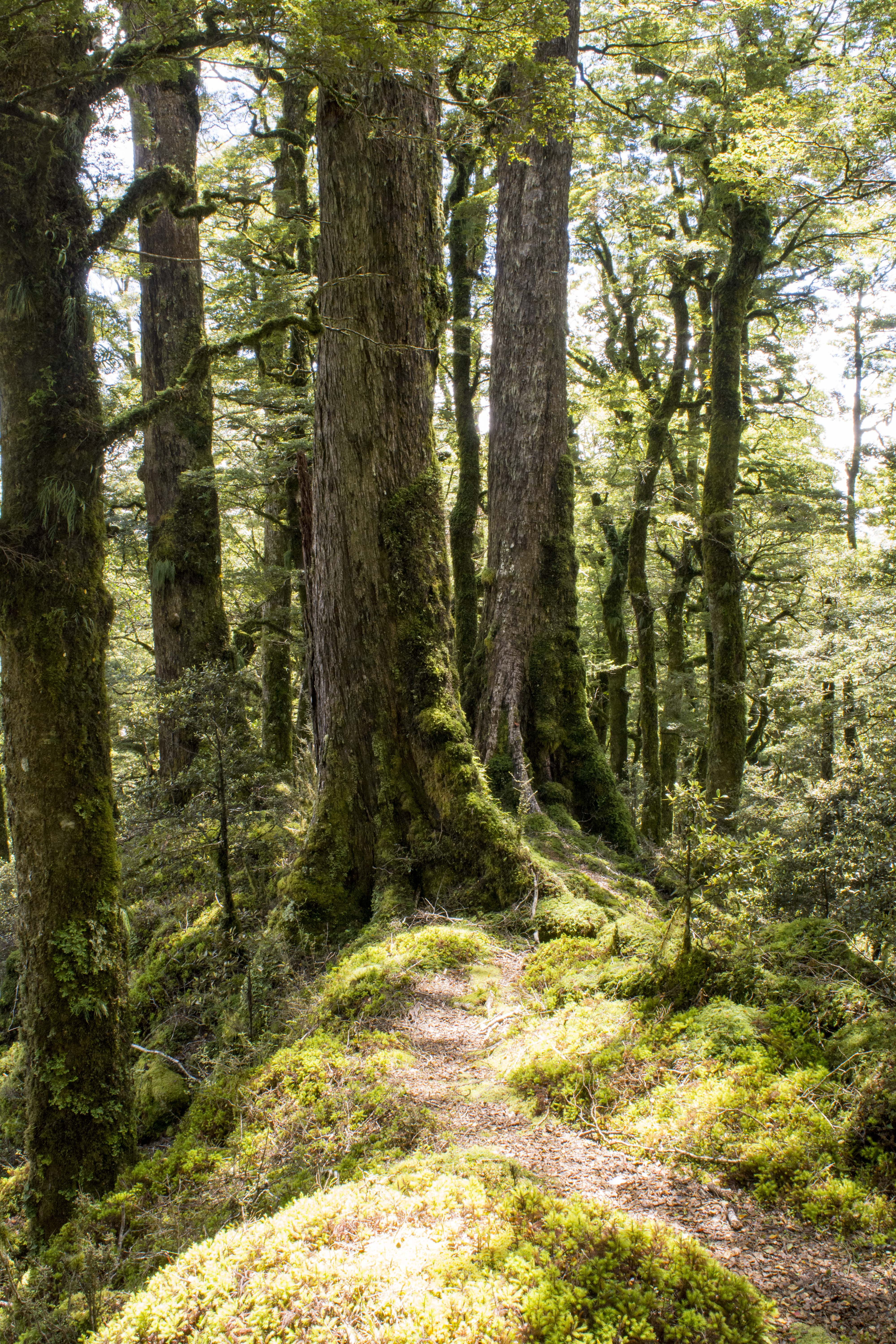
Possibly a scene from Lord of the Rings!
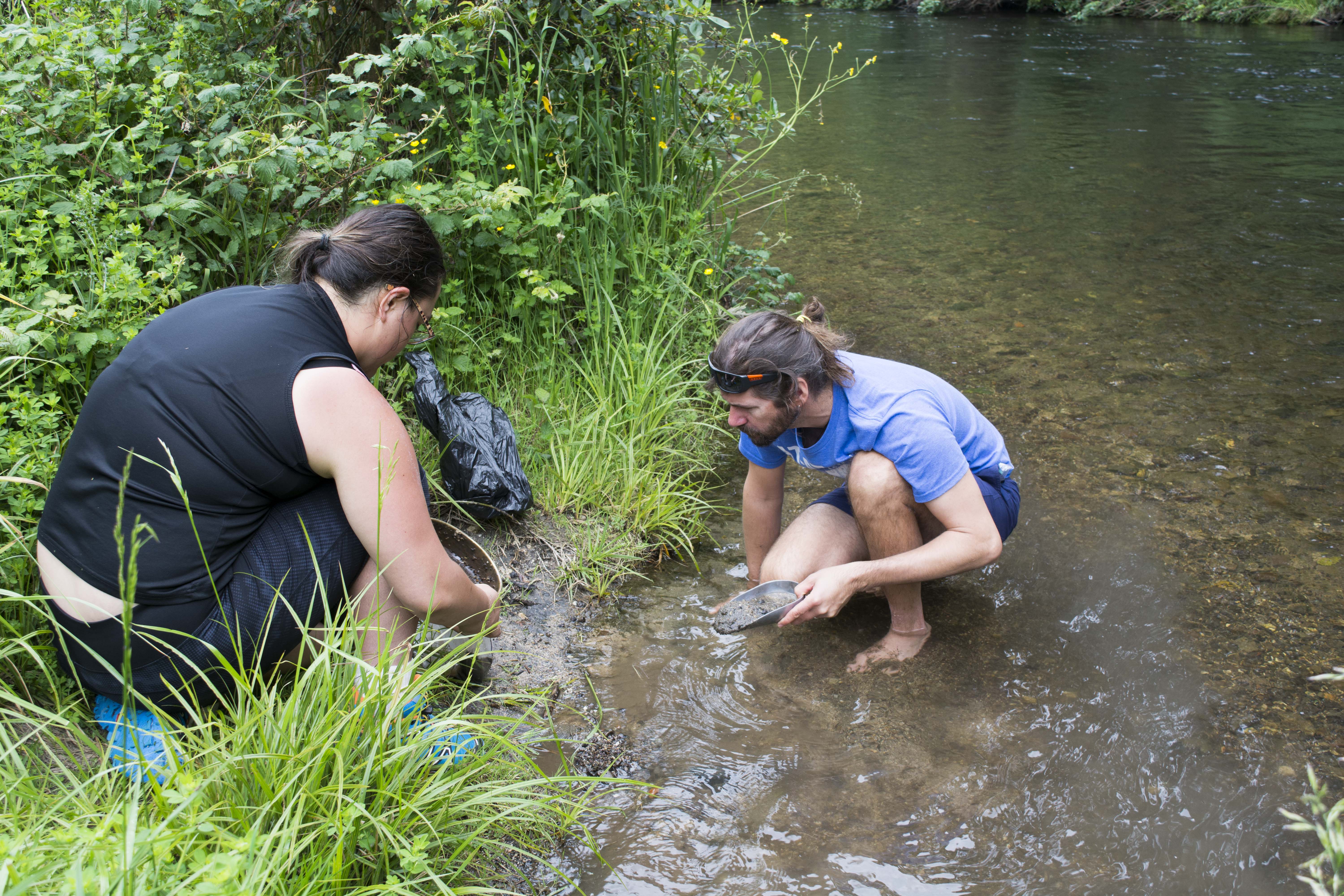
Getting wet feet for science, my collaborator Dr Kevin Norton and our student assistanct Rai, sieving sediments.
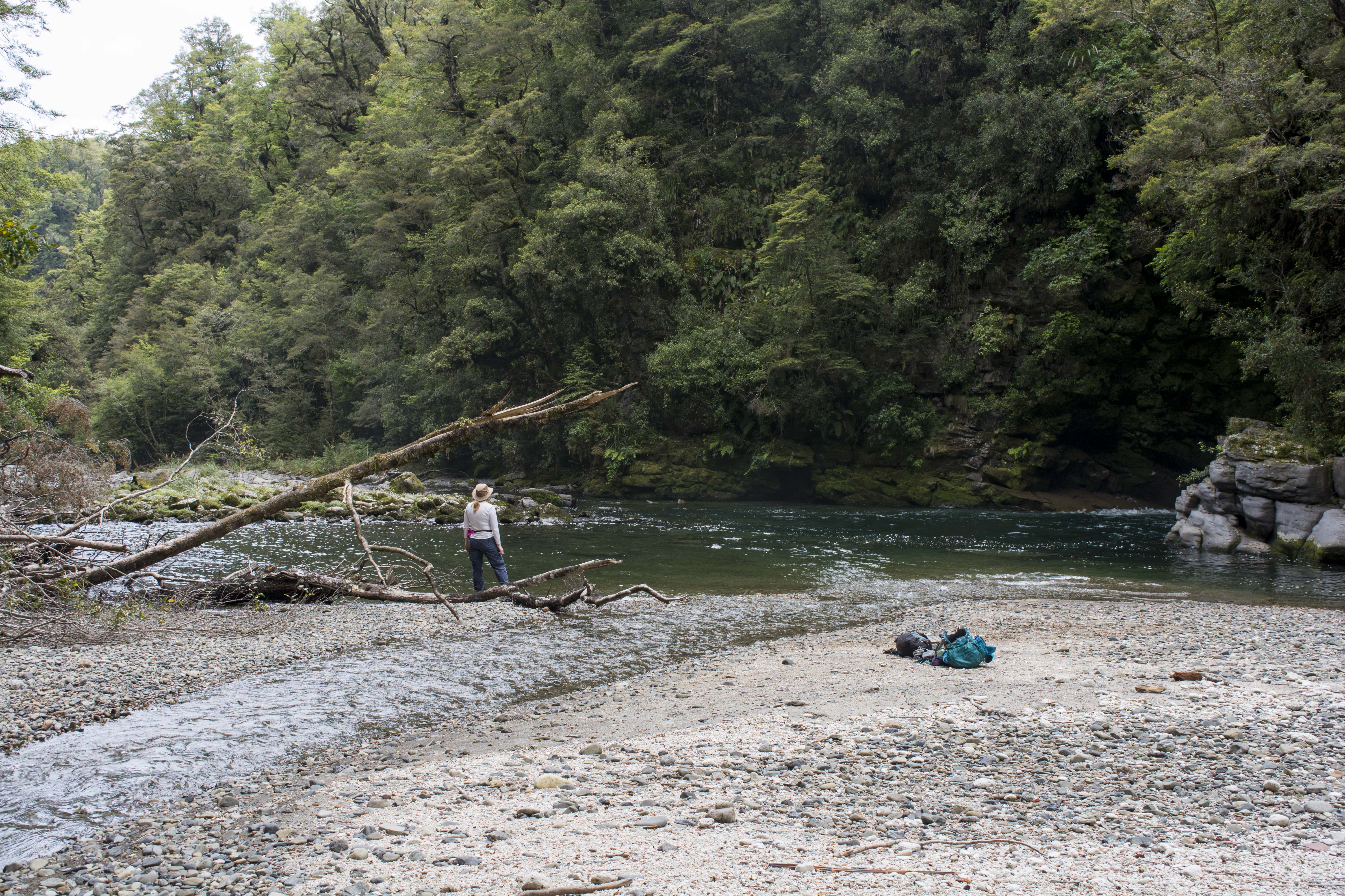
Sarah on a gravel bar
![]() This work is licensed under a Creative Commons Attribution-NonCommercial-ShareAlike 4.0 International License.
This work is licensed under a Creative Commons Attribution-NonCommercial-ShareAlike 4.0 International License.