Karin Sant is a PhD student at Utrecht University focused on understanding of paleogeographic changes that occurred in the West and Central Paratethys during the Miocene. You can read more about her research here.
It is a very sunny autumn day and we are driving in our Lada Niva 4×4 on a muddy road in the Bosnian countryside. According to the geological map we are literally on top of the formation that we want to sample. But we do not see any outcrops, just bushes and grass. When we are about to give up, we meet a peasant on his little tractor. We ask him if he perhaps knows of any ‘greenish-grey’ rocks in the area. Of course he does! Not much later we descend in a small creek and find exactly the tuffaceous rocks that we were hoping to find.
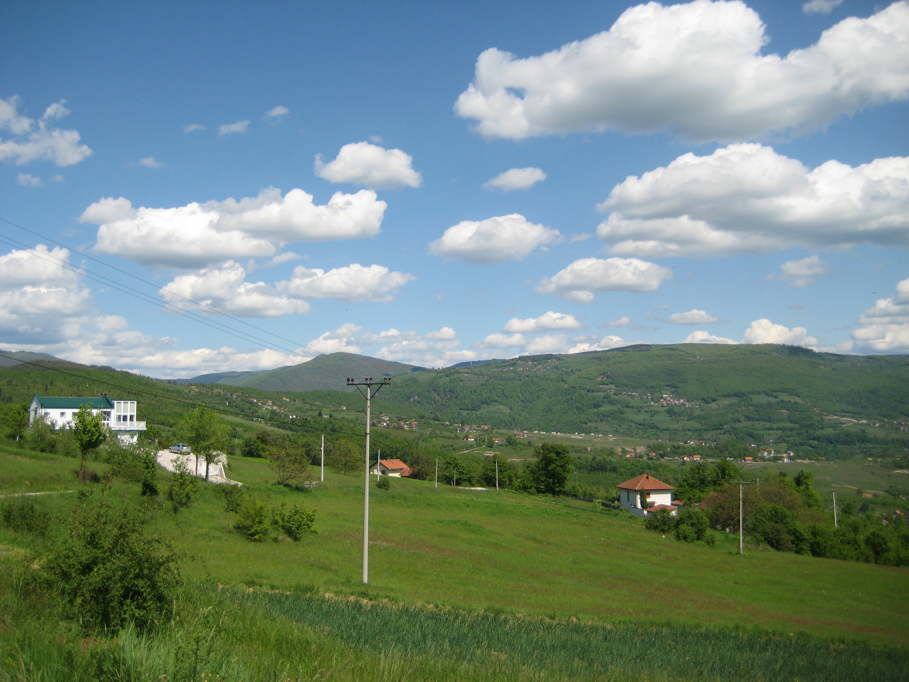
Peaceful Bosnian countryside. No outcrops, unless you know where to find them!
In most of my fieldwork areas, maintaining a good relationship with the locals is as essential as bringing hammer and compass. Not only does it make your time abroad more interesting, it is the only way to manage access to that amazing cross-section on the newly built highway, or to get your petrol drill fixed within one hour on a Sunday afternoon.
Last year I spent two months altogether in the Sarajevo-Zenica Basin in Bosnia & Herzegovina. This asymmetric, extensional basin is the largest lake of the so-called Dinaride Lake System, a series of intramontaneous depressions that existed during the Lower-Middle Miocene in the Dinaride Mountains. Because of their small sizes and sensitive, endemic environments the lakes are excellent markers of global climatic and local tectonic influences. So, the basin is a huge playground for both stratigraphers as well as for structural geologists.
That is why I joined forces with PhD-candidate Nevena Andric (Utrecht University and University of Belgrade). My goal is to construct a chronostratigraphic framework for the Lower-Middle Miocene infill of this basin by means of magnetostratigraphy and Ar/Ar-dating of tuffites. Her goal is to identify the relationship between tectonics and sedimentation, especially during the syn-sedimentary extensional phase. By combining our power ánd data we made the fieldwork more efficient and we also maximized the learning process.
We used the first campaign mainly to get a grip on the vertical and horizontal variation of the basin infill. Where are the most continuous sections for magnetostratigraphy? In which formation can we find a clear relationship between the faults and facies? I was very lucky to find long exposures in the finer-grained deposits along a railway and recently cut mountain road. (Which I, very resourcefully, named the the ‘railway section’ and ‘new road section’). Despite the very rainy weather (it was right before the huge flooding in the Balkan in May ‘15), we managed to get a good image of the system by the end of the field campaign.
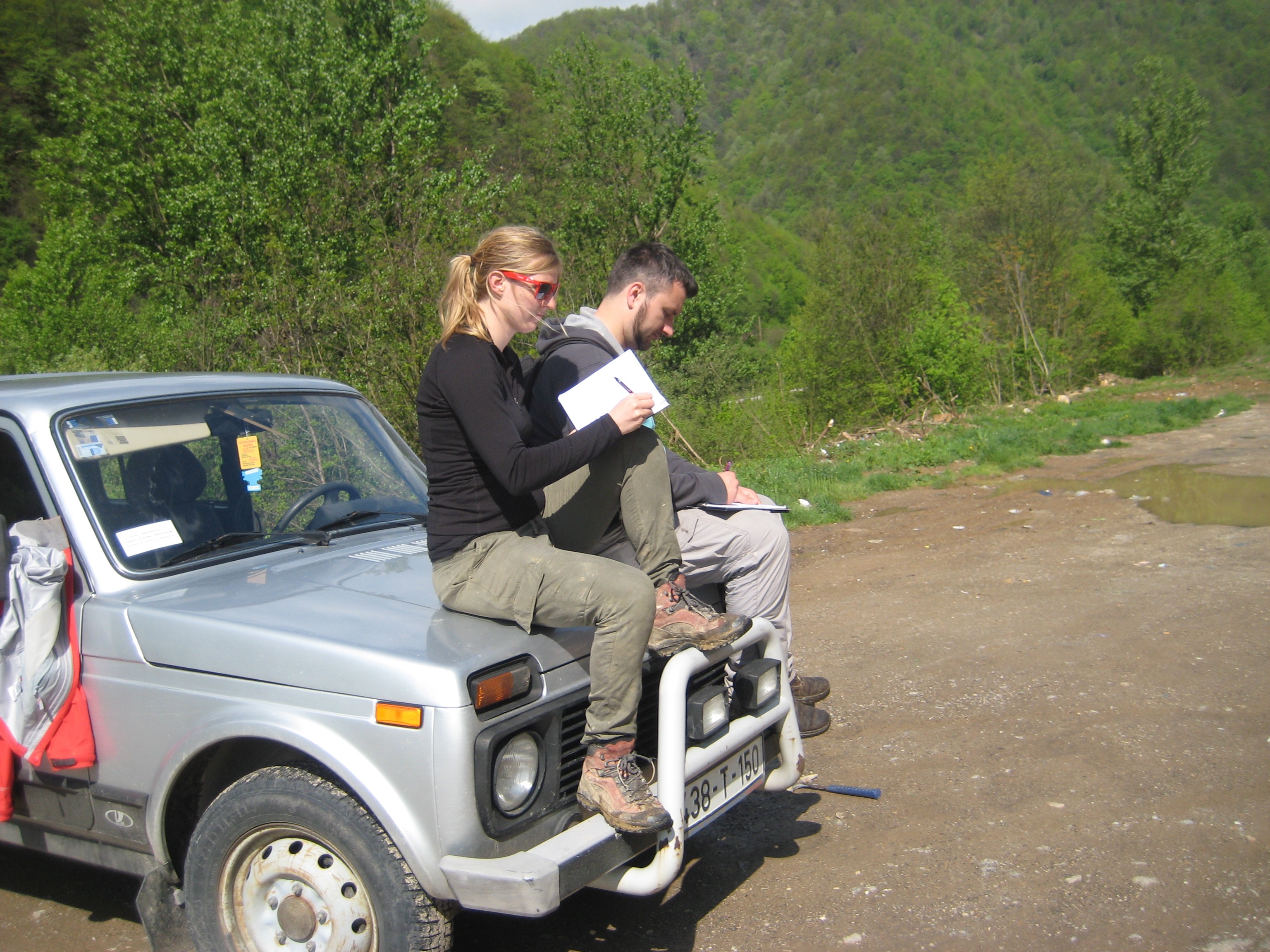
Car geology on top of the Lada Niva 4×4.
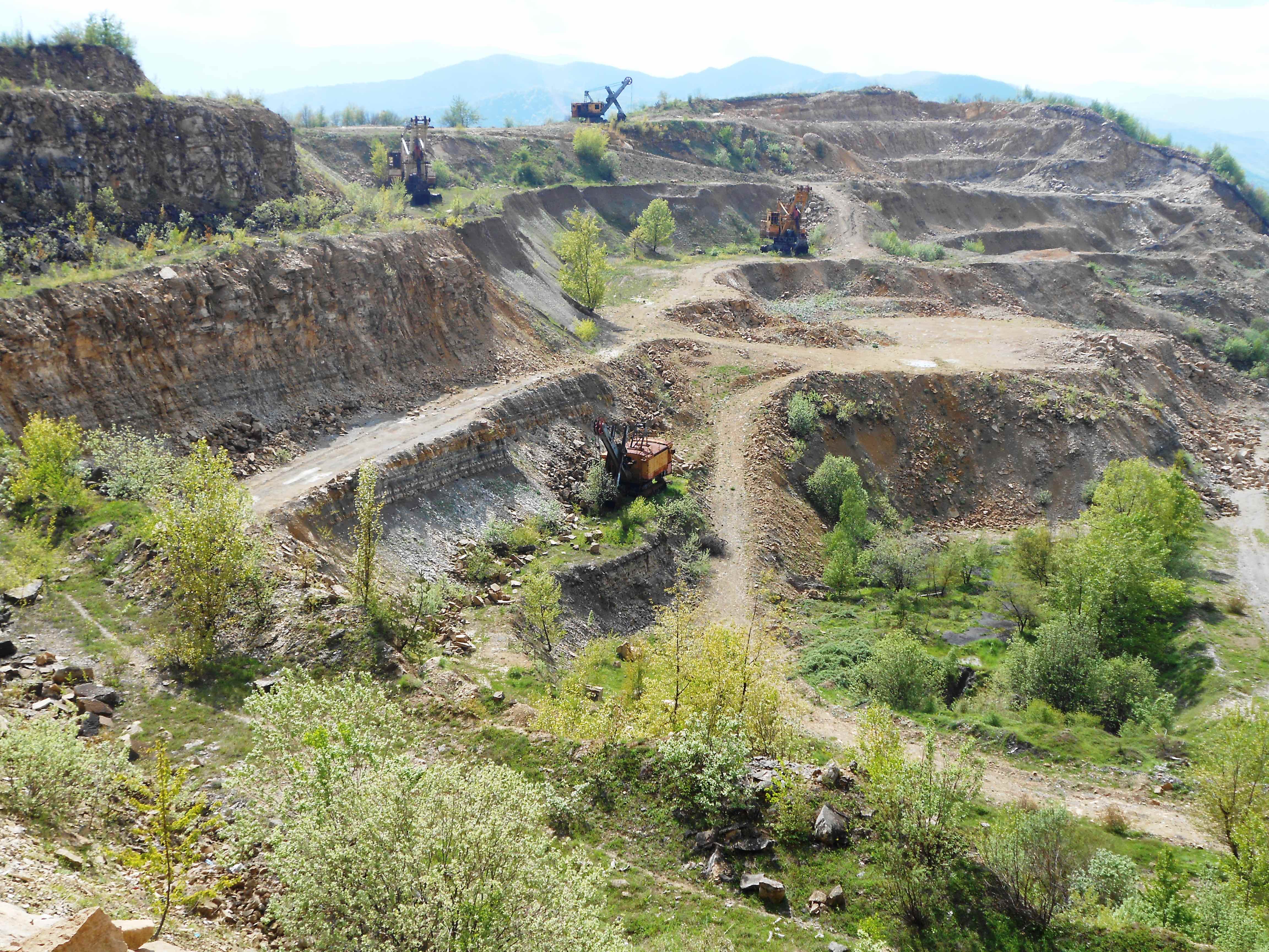
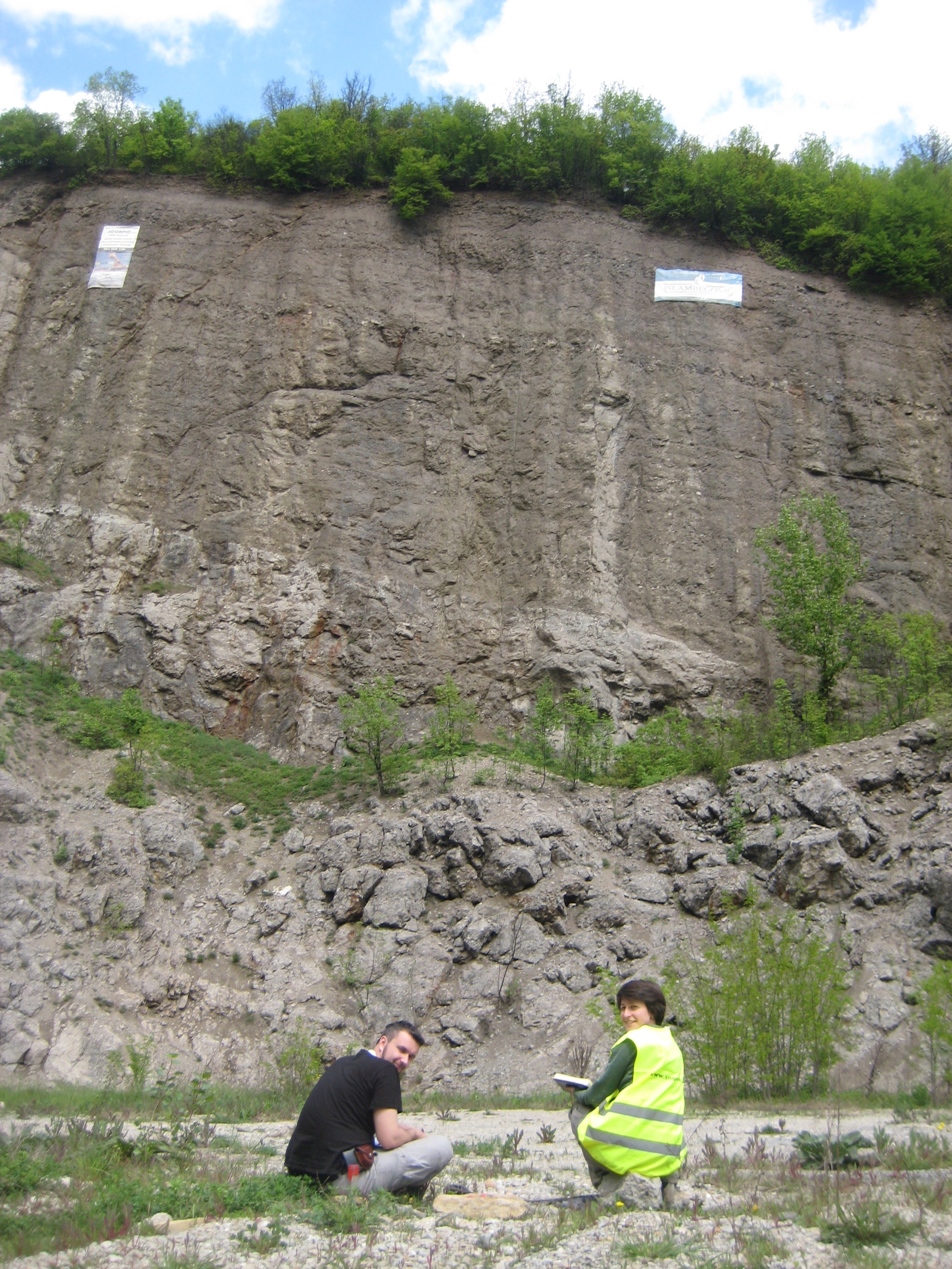
Abandoned coal mine with organic rich laminated marlstones
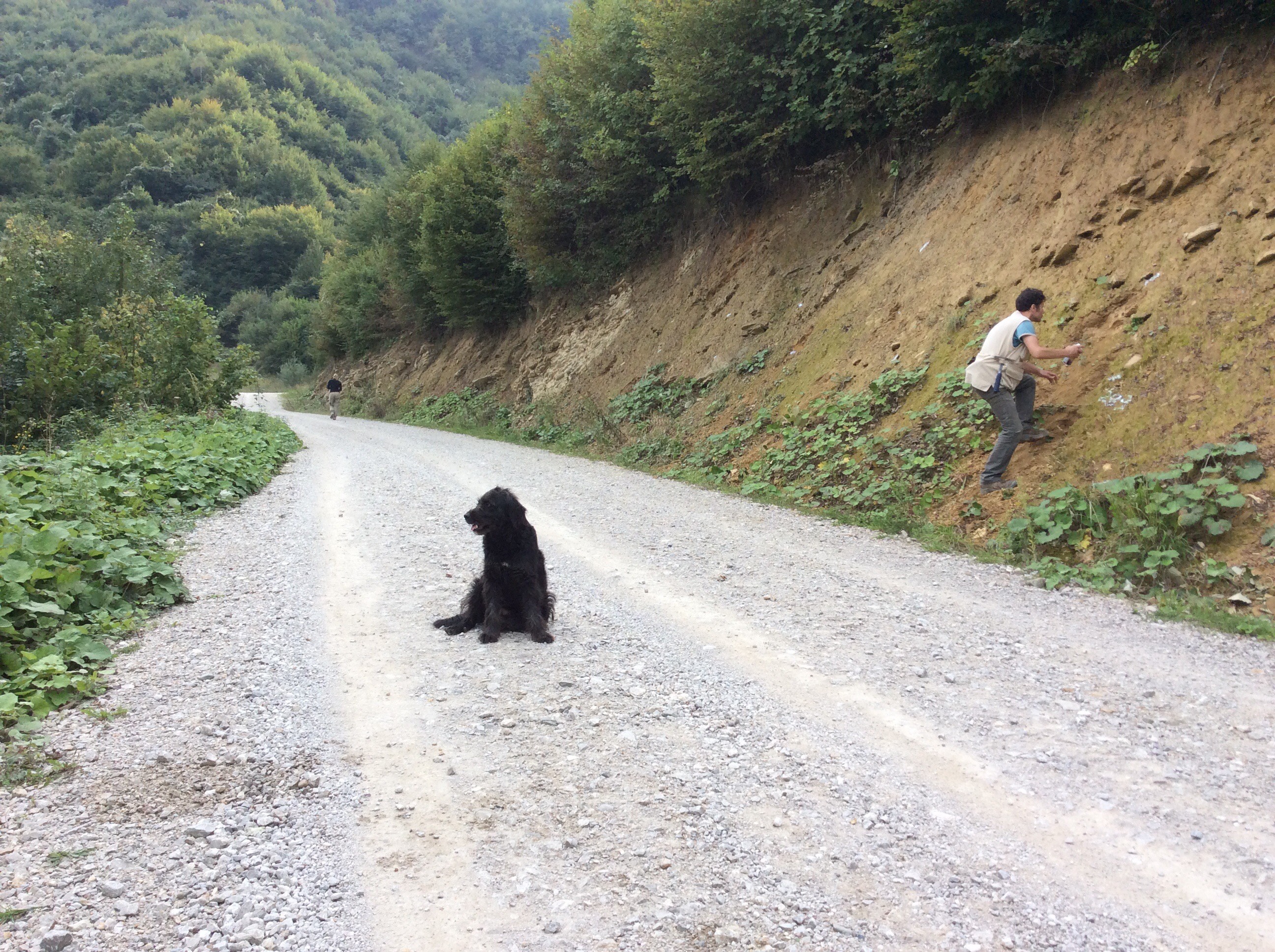
‘New road section’, with our hairy friend.
We were more lucky with the beautiful autumn weather during the second campaign. For magnetostratigraphic dating, I sampled over 700 m of the finer grained lacustrine infill, mainly consisting of (coaly) clays, marls, silts and fine to medium grained, well-lithified sandstones. Unfortunately, the overlying alluvial and fluvial sediments were not suitable for this method, because they were too coarse grained and often disrupted in continuity.
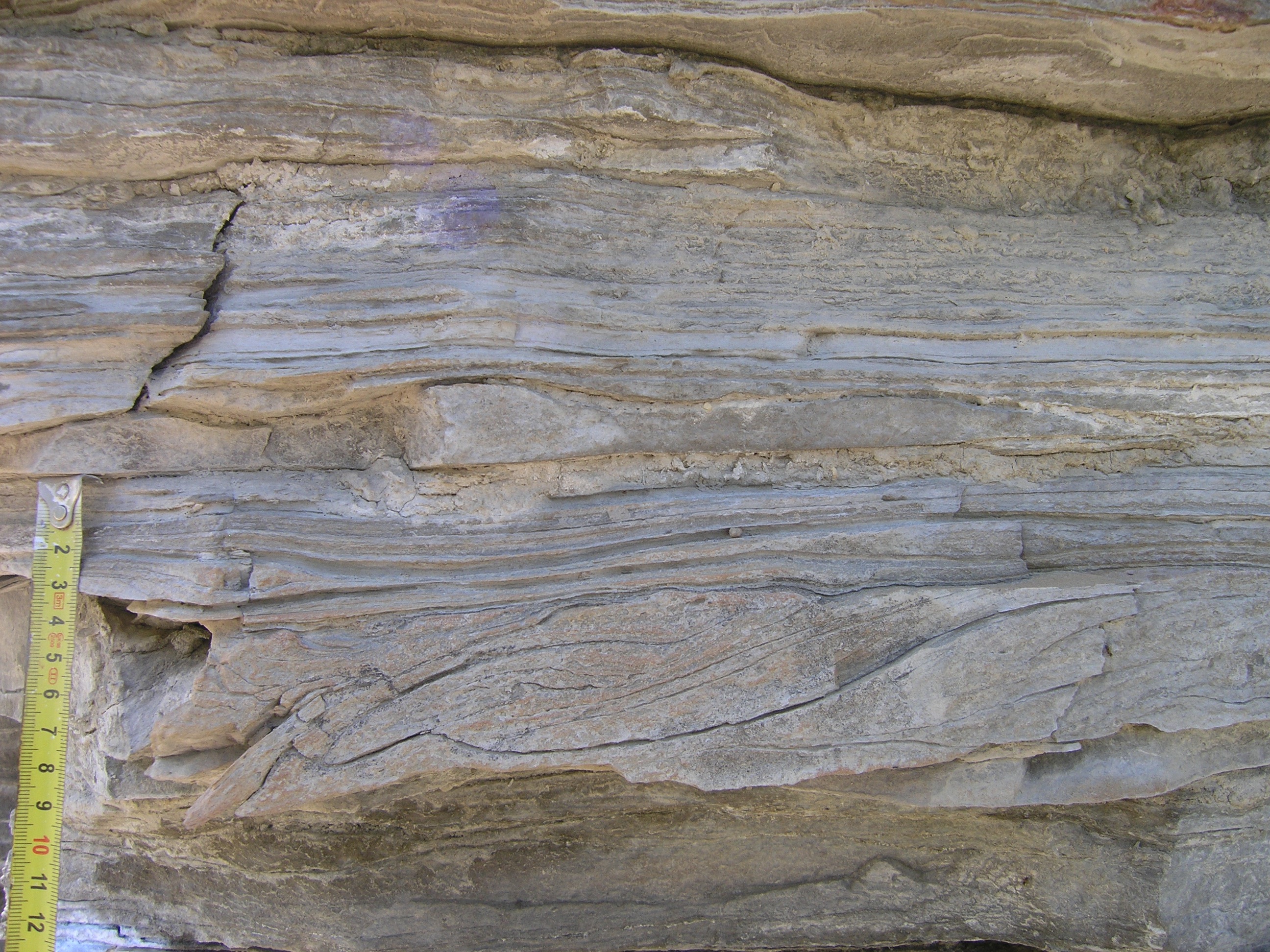
However, from a sedimentological point of view, those coarser clastics were the most interesting. They showed a wide range of micro- to macro-scale features, from very subtle cross-lamination and fining-upward layers as part of turbidites, to massive erosive planes suggesting forced regressions. Nevena explored almost every dirt road in the area (except the ones in mine fields) and was very satisfied with some state of the art syn-sedimentary structures in this facies.
Describing deltaic silt and sandstones
Soft sediment deformation in deltaic facies
At the moment I have collected all my data and am writing down the results, but I am sure I will find an ‘excuse’ the visit the region again to enjoy the Bosnian hospitality. A special thanks to the large team of skillful geologists that helped me during this fieldwork!
Huge alluvial conglomerate outcrop, with Nevena and Vedad
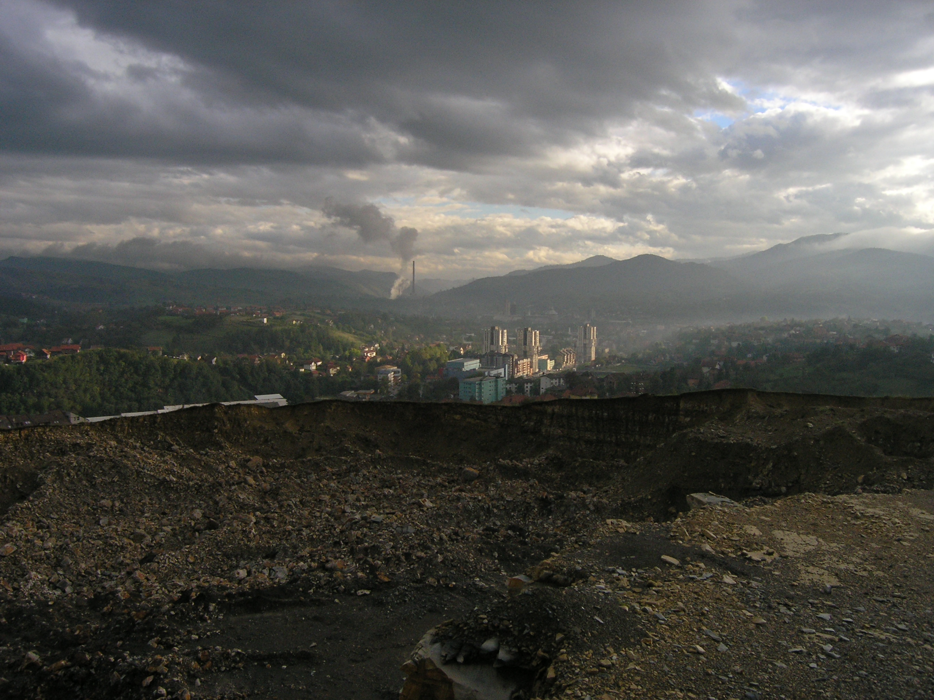
Surreal view on a cement quarry with the factory in the back.
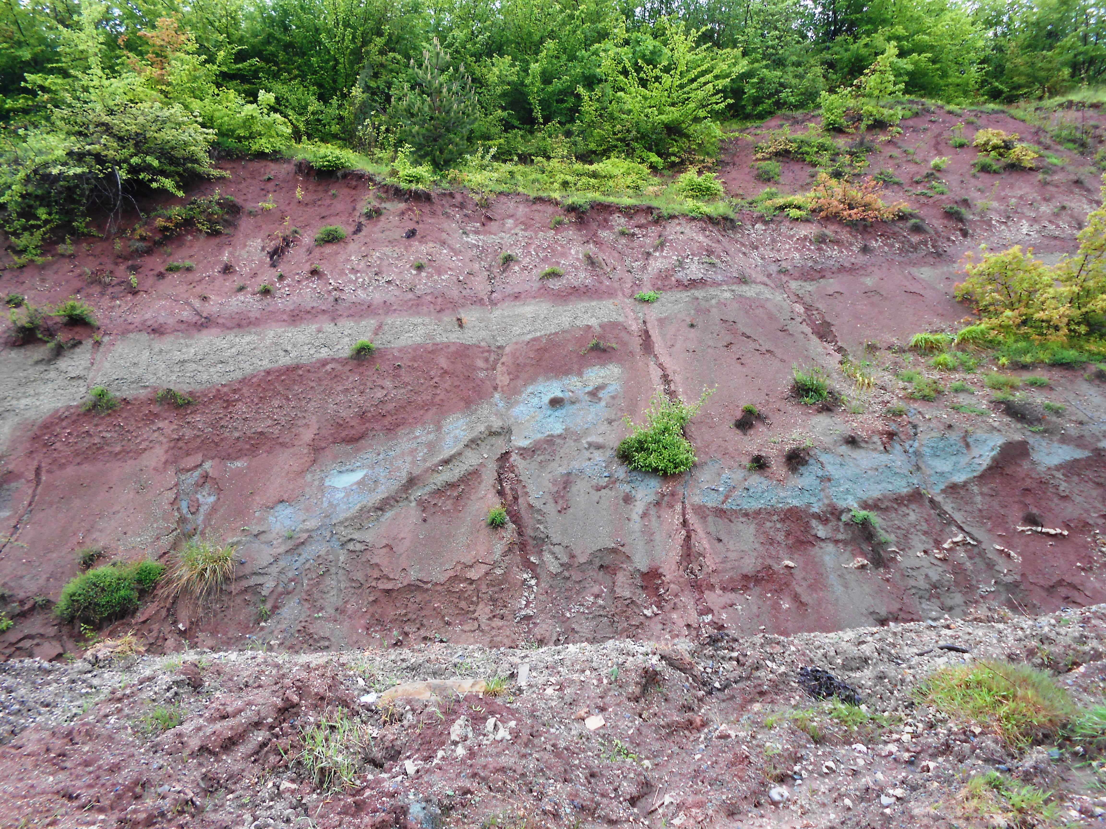
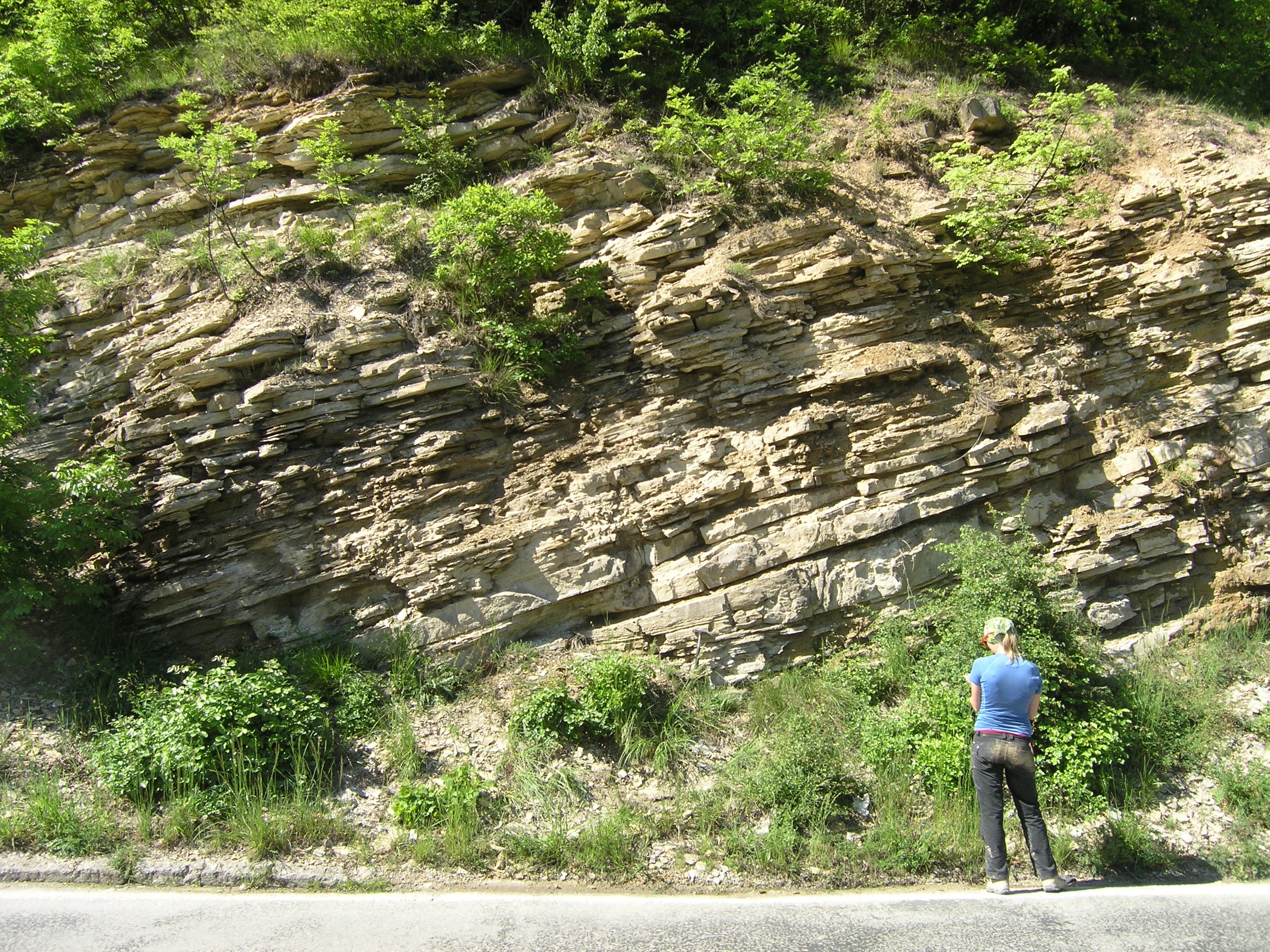
Thrust fault in the bright-colored continental basal series of the basin.
![]() This work is licensed under a Creative Commons Attribution-NonCommercial-ShareAlike 4.0 International License.
This work is licensed under a Creative Commons Attribution-NonCommercial-ShareAlike 4.0 International License.