 |
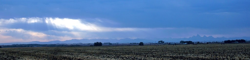
| The Grand Tetons and the Idaho farmland |
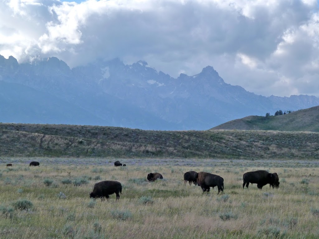
The Grand Tetons are a prominent N-S mountain range in Wyoming. I am tempted to argue that the Grand Tetons have the most complex and long lasting geologic history of any mountain range on the planet. Within the range, the Grand Teton dominates the skyline standing nearly 4200 meters high, nearly 2300 meters above the valley floor. Other dominant peaks include Mount Owen (3920 m), Mount Moran (3850 m), and Middle Teton (3900 m). The Grand Teton National Park is one of the few redeeming assets of otherwise boring Wyoming; the others being Yellowstone NP and the Wind River Mountains.
 |
| Birdseye view of the Tetons stolen from Wikipedia |
The geologic history in the Tetons being in the Neoarchean with rocks as old 2673±2 Ma (the Webb Canyon gneiss of Mount Moran; Frost et al., CJES 2006). These Archean igneous rocks are thought to represent some of the earliest evidence of modern plate tectonics. The Archean magmatism and metamorphism is followed by nearly 2 billion years of erosion and tectonic quiescence (or at least nothing is preserved).
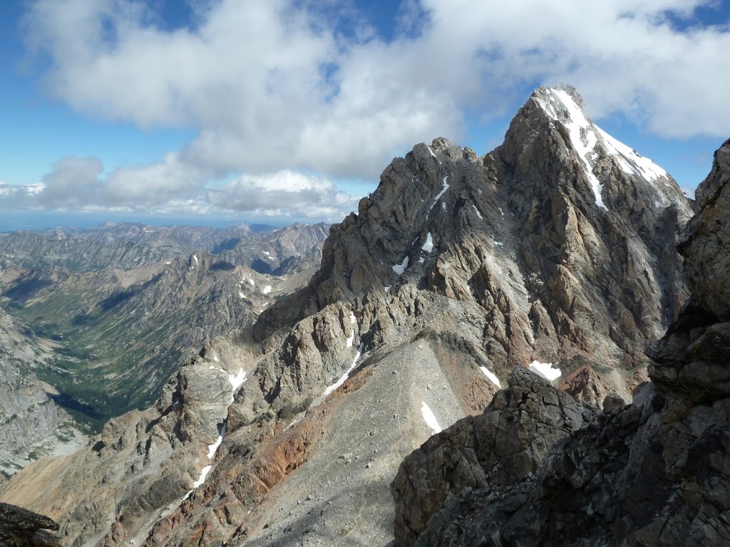
The next preserved geologic feature is the mafic dike intrusion associated with the ~780 Ma Gunbarrel Magmatic Event. These are scattered around the Tetons and seen most prominently cutting through the Middle Teton (see below) and Mount Moran. The Gunbarrel magmatic event is a large igneous province that stretches along the Neoproterozoic western margin of North America. This igneous province was emplaced during the initial rifting of the Rodinia supercontinent.
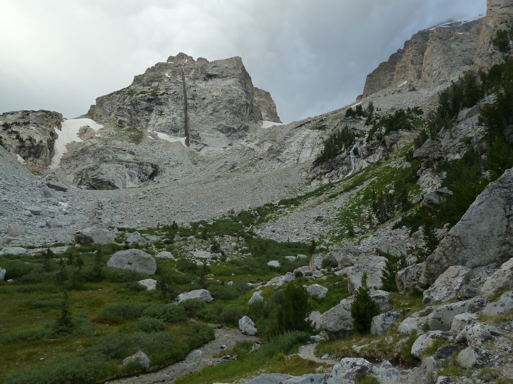 |
| Gunbarrel dike cutting through Middle Teton |
The rifting of Rodinia caused a significant amount of thermal subsidence to occur along the western margin of North America resulting in the marine transgression that deposited a thick sequence of sediments. This newly established passive margin remained the site of marine sedimentation for nearly 500 million years. This cover sequence is seen along the western flanks of the Tetons.
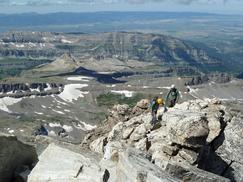 |
| Along the Teton ridge with the Paleozoic sediments in the background. |
During the Cretaceous Laramide Orogeny, Western Wyoming was uplifted forming a broad high plateau. This uplift caused a great deal of the overlying sediment to erode off these highlands. The Tetons as we see them today were formed as the Teton fault dropped the Jackson Valley down leaving the Teton ridge elevated. This episode of extension began during the formation of the Basin and Range that began ~30 million years ago and continues today. The Teton fault is unique in that it dips to the east whereas the majority Basin and Range faults in the area dip to the west (e.g. the Wasatch Fault). The unique dip of the Teton fault can be explained by the subsidence of the Snake River Plain. The Snake River Plain is located to the west of the Teton fault and was formed by the migration of the Yellowstone caldera across southern Idaho. As this section of crust cools it tends to subside causing the footwall of the fault to tilt down toward the west. This westward tilt accompanied with westward extension caused the Grand Tetons to emerge from the Jackson Valley.
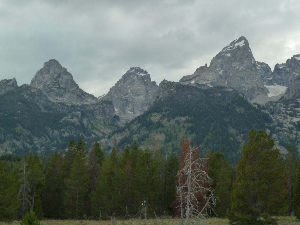 |
| Le Trois Tétons |
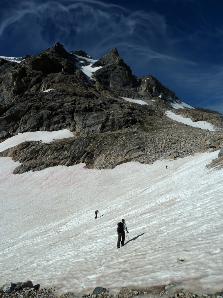
 The high Teton ridge was subsequently glaciated into the spectacular peaks we see today. The current landscape preserves evidence from two separate glacial advances: the Bull Lake (160-130 ka) and Pinedale (20-14 ka). The earlier Bull Lake glaciation was much more widespread than the Pinedale episode and covered the eastern slopes of the southern Rocky Mountains from Colorado to northern Montana. The second more localized glaciation formed an ice extending to just south of the Tetons and to the northern edge of Yellowstone. In the Jackson Valley, this ice sheet sheet wrapped around Signal Mountain and excavated what later became out Jackson Lake. While the main body of ice flowed from the north, dozens of alpine glaciers flowed eastward from the high peaks. As the glaciers receded, several lakes formed in the end moraines along the mountain front (seen beautifully in google maps). The ages of these glacial episodes has been greatly improved upon with the advent of cosmogenic radionuclide dating. In the Tetons, this has been done by analyzing 10Be. Cosmic rays collide with nitrogen and oxygen atoms in the atmosphere causing fragmentation into 10Be (among others). The rocks exposed at the surface absorb these radionuclides which decay to more stable forms. By analyzing the ratio between 10Be and 9Be will allow for calculation of how long the rock in question was exposed to the bombardment of cosmic radiation. This technique has facilitated high precision geochronology of the advance and retreat of ice sheets. See one excellent example from the Pinedale ice sheet here.
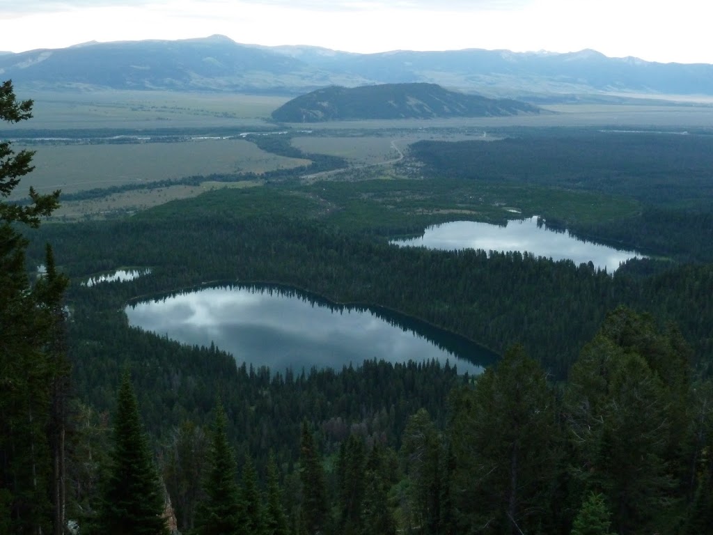 |
| Bradley Lake (left) and Taggert Lake (right) |
Even today there are a few small glaciers that remain in the Teton Range. These glaciers are not
remnants of the Pinedale event but formed during the Little Ice Age, 1400 to 1850. Today, Skillet and
Falling Ice glaciers continue to carve Mount Moran, and the Teton Glacier flows down the north flank of the Grand Teton. During the past 40 years, these glaciers have retreated 20 to 25 perscent. It is likely that in the next 40 years, these glaciers will disappear completely.
 |
| The Grand Teton |
![]() This work is licensed under a Creative Commons Attribution-NonCommercial-ShareAlike 4.0 International License.
This work is licensed under a Creative Commons Attribution-NonCommercial-ShareAlike 4.0 International License.